“I guess I’m a bit of an information freak!” says Vasko Popovski, UNDP’s Project Manager for Disaster and Climate Risks, when asked how he came up with the idea for a nifty new app that’s set to revolutionize public access to data on dangerous events like earthquakes, floods and fires and potential hazards like violent thunderstorms and heavy snowfalls.
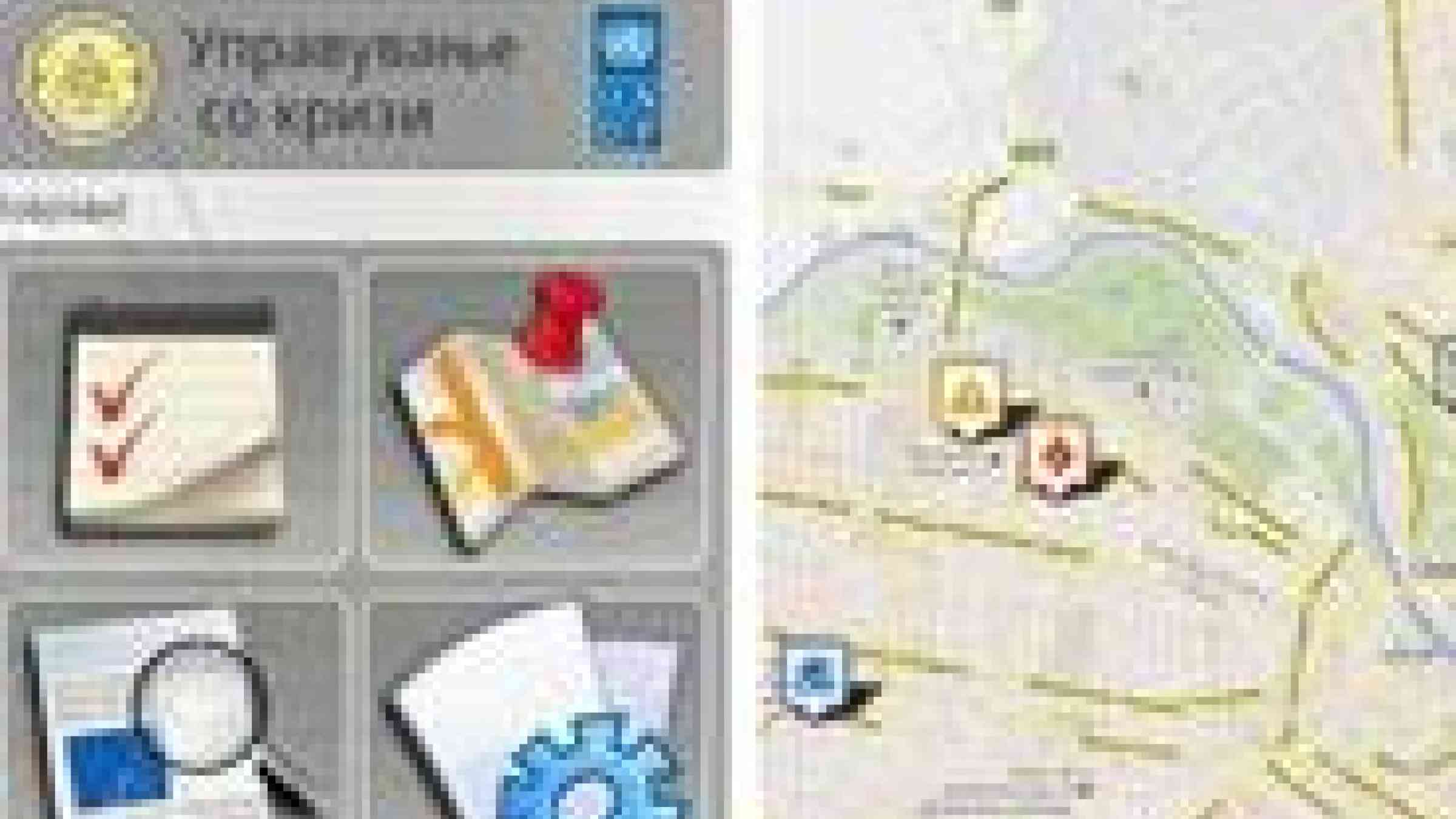
With a flick of his fingers Vasko scrolls through a dozen screens listing every dangerous event currently verified and recorded in the country—from floods to power station malfunctions and floods—with maps clearly detailing the exact locations of each event. Clicking on a highlighted location brings up specific information about the status of the event and essential advice and information on how to deal with the danger, including emergency service numbers and links for alerting others to the problem.
Not surprisingly, when Vasko’s idea was elaborated as a project proposal it was swiftly taken up by UNDP’s Regional Innovation Fund in Bratislava to turn it into reality. And with the backing of the Innovation Fund, the application was developed by a team of top students and professors from the University of Skopje’s Faculty of Computer Science and Engineering (FINKI).
“One of the benefits of cooperating with FINKI was that it gave the students cutting-edge work experience,” says Vasko, “And the whole project has increased their awareness and abilities in public information apps.”
The app will be the region’s fist interactive mobile in the area of disaster risk management, drawing on data and information from the National Crisis Management Centre —UNDP’s partner in the Disaster and Climate Risk Reduction project for 2011–2013.
“It’s one of those ideas you can’t believe isn’t already out there—a disaster app that tells you about dangers to the public,” says Irena Vasilevska, one of the grad students who worked on the app, “I think it could make a major contribution to public safety.”
“Before now the public were mostly getting information about dangers and hazardous events through newspapers and the television,” explains Vasko, “But these aren’t the most relevant and immediate channels anymore. With this app, just at this first stage you’ll have twenty per cent of mobile phone subscribers getting access to up-to-date info on dangers. All the research shows that reducing the impact of emergency situations depends on as many people as possible being informed as quickly as possible—and that’s what this app is about.”
The benefits of raising public awareness of risks of disasters and actual emergencies are manifold, not only in reducing casualties but in preventing such crises by early alertness to potential hazards. In the case of dangers that cause large-scale damage, such as landslides, floods and violent weather events, access to timely information can also save significant losses in property.
All this, together with its ease of use and flexibility for upgrading, means the app has clear potential use in resource management and planning in many other areas and organizations from public transport to insurance services.