Sea level rise
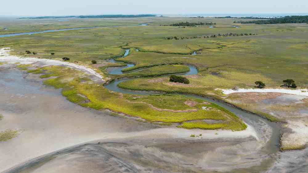
Sea-level change (sea-level rise / sea-level fall) is a change to the height of sea level, both globally and locally (relative sea-level change) at seasonal, annual, or longer time scales due to: a change in ocean volume as a result of a change in the mass of water in the ocean (e.g., due to melt of glaciers and ice sheets); to changes in ocean volume as a result of changes in ocean water density (e.g., expansion under warmer conditions), and to changes in the shape of the ocean basins and changes in the Earth’s gravitational and rotational fields, and local subsidence or uplift of the land (IPCC, 2019).
Global mean sea level rose by 0.19 m (0.17–0.21 m) between 1901 and 2010 (Abram et al., 2019).
The Intergovernmental Panel on Climate Change (IPCC) projects future global mean sea level rise to be between 0.43 m (0.29–0.59 m, likely range; RCP2.6) and 0.84 m (0.61–1.10 m, likely range; RCP8.5) by 2100 (medium confidence) relative to 1986–2005 (Oppenheimer et al., 2019). Local or relative seal-level rise will depart from this global mean due to local/regional conditions (e.g., local oceanic water currents or local land uplift/subsidence).
Sea-level rise is projected to increase the frequency of extreme sea-level events, leading to more frequent inundation. In several regions of the world, current inundation with a return period of one century could become annual events as soon as 2050 (Oppenheimer et al., 2019) and flooding frequency could increase exponentially, doubling every five years in the future (Taherkhani et al., 2020).
Risk drivers
Sea-level rise is controlled by different drivers that act at different timeframes: for example, storms and tsunamis generate sea-level rise at the coast on short timeframes while global warming or geo-isostatic adjustment (vertical movement of the continents in response to change in overlying ice mass) generate sea-level rise over longer timeframes.
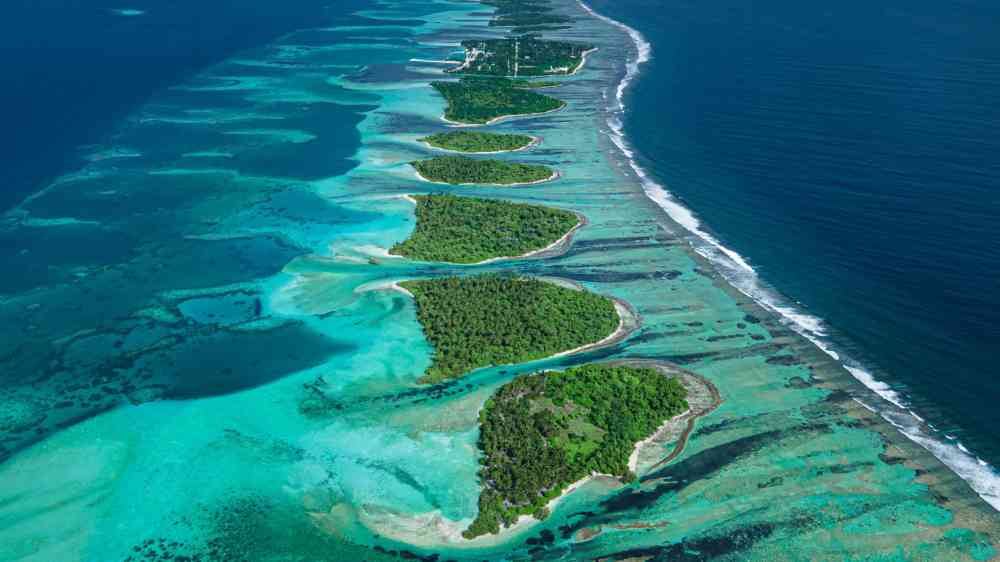
Sea-level rise also generates inundation in the coastal area through overwash (Ford et al., 2018). This results in damaged infrastructure, salination of groundwater, salination of soil and decreased crop yields. In the case of atoll islands, the increase in frequency of the inundation events caused by overwash could result in the inhabitability of some islands due to the reduction of fresh groundwater supply (Storlazzi et al., 2018).
Sea-level rise in atoll islands may also cause inundation by pushing up the fresh underground water lens (e.g., Habel et al., 2019). Although the consequences are different since the inundation is caused by freshwater, which is less corrosive to infrastructure and slightly less damaging to soils and crops, it is more difficult to manage since the classical coastal protection approach is ineffective against this type of inundation.
Risk reduction measures
Risk management for sea-level rise may be achieved through the reduction of greenhouse gas emissions; however, there will be a lag of several decades between the reduction of emissions and a decrease of sea-level rise since the processes controlling sea-level rise (thermal expansion from ocean warming and ice sheet melting) have delayed responses to global warming of the atmosphere (Oppenheimer et al., 2019).
Risk management for the impacts of sea-level rise at the coast are similar to the risk management for coastal erosion (EN0020). They include the design and construction of engineering structures (seawalls, revetments, etc.), conservation and development of healthy coastal ecosystems (e.g., coral reefs and mangrove forests), development of legislations and policies on coastal zoning and associated building codes, and integrated coastal management and monitoring of extreme sea-level rise events (Spalding et al., 2014).