Landslide
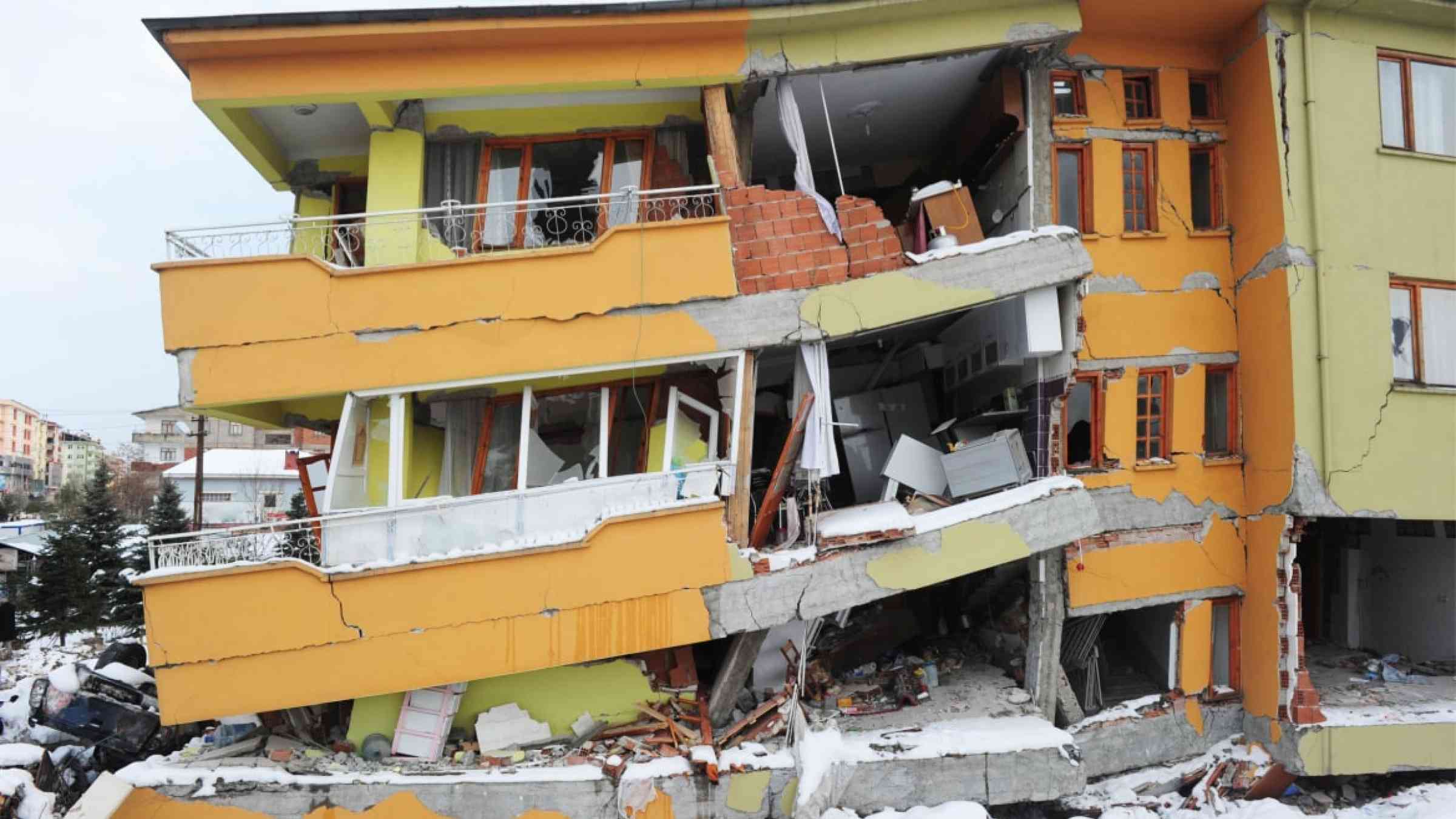
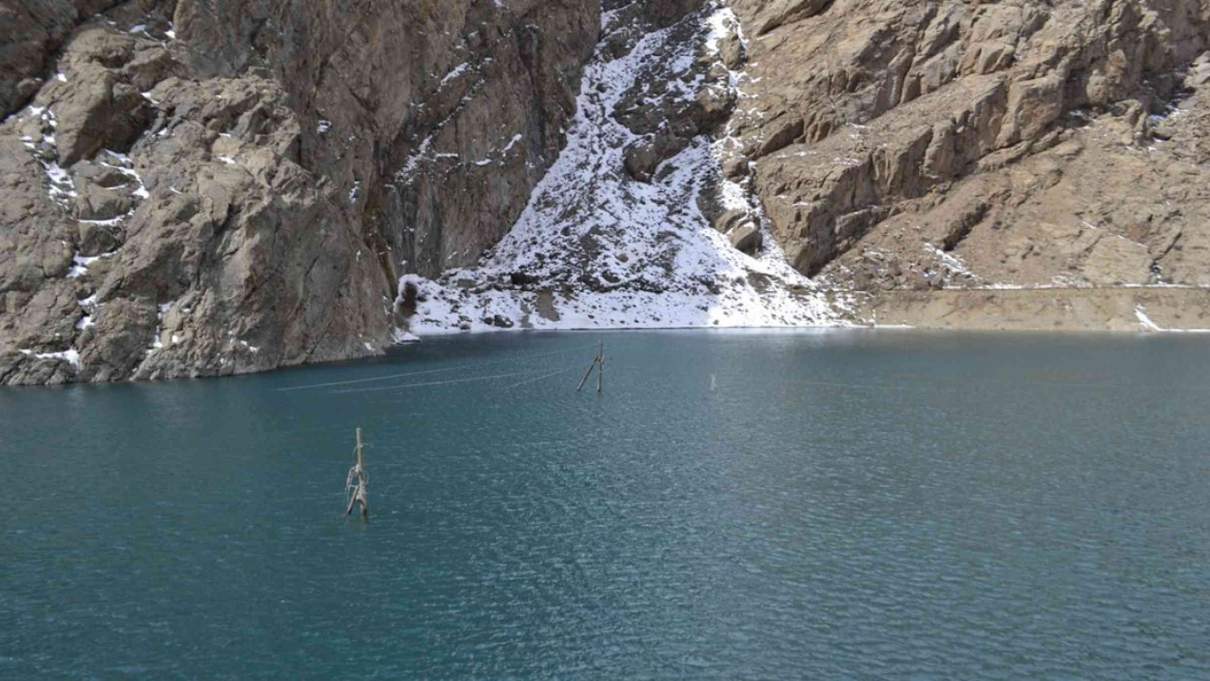
Landslide is the downslope movement of soil, rock and organic materials under the effects of gravity, which occurs when the gravitational driving forces exceed the frictional resistance of the material resisting on the slope. Landslides could be terrestrial or submarine (Varnes, 1978).
Landslides can be triggered by geological and physical causes such as glacier or snow melts, heavy rains and water pressure, earthquakes, volcanic eruptions and overly steep slopes. Landslides can also be triggered by human action, the most common being building on unstable slopes. Submarine landslides, or massive slides and rock falls hitting the sea can also cause tsunamis.
Landslides can reach speeds of over 50 km/h and can bury, crush or carry away people, objects and buildings. Landslides cannot be predicted but warning systems measuring rainfall levels can provide warning to people living in landslide-prone areas.
Instrumental monitoring to detect movement and the rate of movement can be implemented, for example, extensometers, global positioning system (GPS), seismometers, aerial photography, satellite images, LiDaR (Highland and Bobrowsky, 2008) with varying degrees of success. Increasingly, the science of landslide physics is allowing the nature of these hazards to be understood, which is leading to better techniques through which they can be managed and mitigated (HIP).
Risk factors
- Population growth
- Rapid urbanization
- Environmental degradation (deforestation and inappropriate use of lands and slopes)
- High population density, heavy rainfall and rapid land use changes increase the instability of slopes
Risk reduction measures
- Early warning systems to observe and alert before landslides happen
- Hazard maps to identify landslides risk and vulnerabilities
- Integrate landslide risk assessment into urban planning strategies
- Building codes and standards for materials that reinforce landslide resilience
- Improve drainage, building tunnels and trenches to stabilize slopes
- Protect forest cover and regulate logging
- Raise awareness of landslide risk
- Regular drills and community evacuation exercises
- Establish national, regional, and local evacuation plans
