1. Home
  2. Knowledge Base | PreventionWeb
  3. Hazards

Landslide

Landslide is the downslope movement of soil, rock and organic materials under the effects of gravity, which occurs when the gravitational driving forces exceed the frictional resistance of the material resisting on the slope. Landslides could be terrestrial or submarine (Varnes, 1978).

Landslides can be triggered by geological and physical causes such as glacier or snow melts, heavy rains and water pressure, earthquakes, volcanic eruptions and overly steep slopes. Landslides can also be triggered by human action, the most common being building on unstable slopes. Submarine landslides, or massive slides and rock falls hitting the sea can also cause tsunamis.

Landslides can reach speeds of over 50 km/h and can bury, crush or carry away people, objects and buildings. Landslides cannot be predicted but warning systems measuring rainfall levels can provide warning to people living in landslide-prone areas.

Instrumental monitoring to detect movement and the rate of movement can be implemented, for example, extensometers, global positioning system (GPS), seismometers, aerial photography, satellite images, LiDaR (Highland and Bobrowsky, 2008), with varying degrees of success. Increasingly, the science of landslide physics is allowing the nature of these hazards to be understood, which is leading to better techniques through which they can be managed and mitigated (HIP).

Risk factors

  • Population growth
  • Rapid urbanisation
  • Environmental degradation (deforestation and inappropriate use of lands and slopes)
  • High population density, heavy rainfall and rapid land use changes increase the instability of slopes

Risk reduction measures

  • Early warning systems to observe and alert before landslides happen
  • Hazard maps to identify landslides risk and vulnerabilities
  • Integrate landslide risk assessment into urban planning strategies
  • Building codes and standards for materials that reinforce landslide resilience
  • Improve drainage, building tunnels and trenches to stabilise slopes
  • Protect forest cover and regulate logging
  • Raise awareness of landslide risk
  • Regular drills and community evacuation exercises
  • Establish national, regional, and local evacuation plans

Latest Land Slide additions in the Knowledge Base

Uploaded on
A serene Himalayan village scene featuring a white Buddhist stupa and colorful prayer flags in the foreground, set against the dramatic backdrop of towering snow-covered mountains.
Update

Below-normal monsoon forecast for parts of Hindu Kush Himalaya in 2026 is not expected to reduce disaster risks, scientists warn that short bursts of intense rainfall, rising temperatures, and growing water stress could make the season more dangerous.

International Centre for Integrated Mountain Development (ICIMOD)
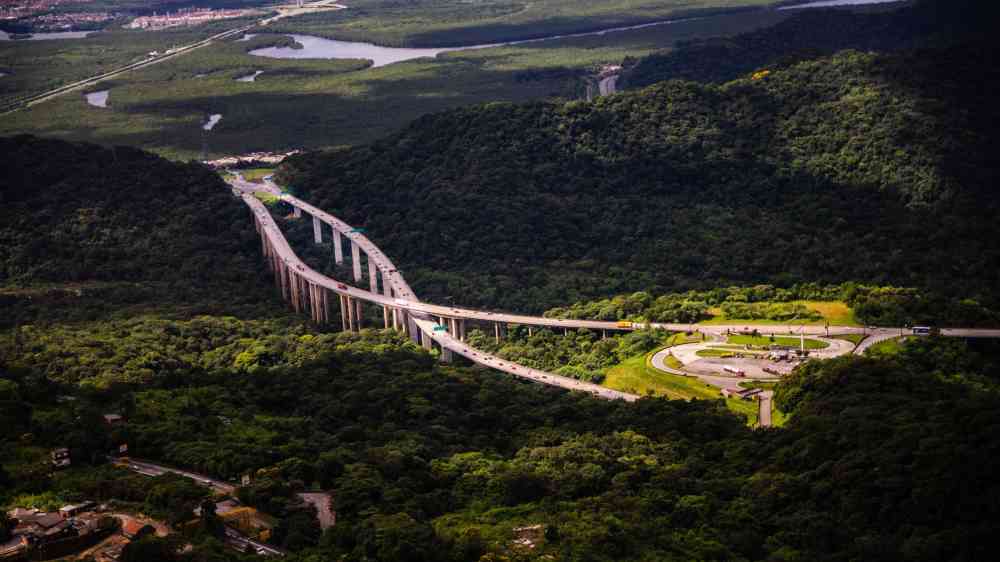
Aerial view of a highway cutting through lush greenery in Santos, São Paulo, Brazil.
Update

The IDB is advancing regenerative roads in Latin America and the Caribbean by integrating nature-based solutions to reduce risks and costs due to poor logistics performance, growing exposure to natural hazards, and accelerating loss of natural capital.

Inter-American Development Bank (IDB)
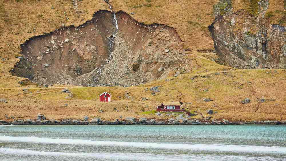
Landslide scar overlooking coastal homes
Research briefs

A new analysis ( Reiss et al. 2026 ) explores a global database of fatal coastal cliff failures, showing that these tragic events most frequently occur in the summer months when beaches are heavily populated.

Eos - AGU
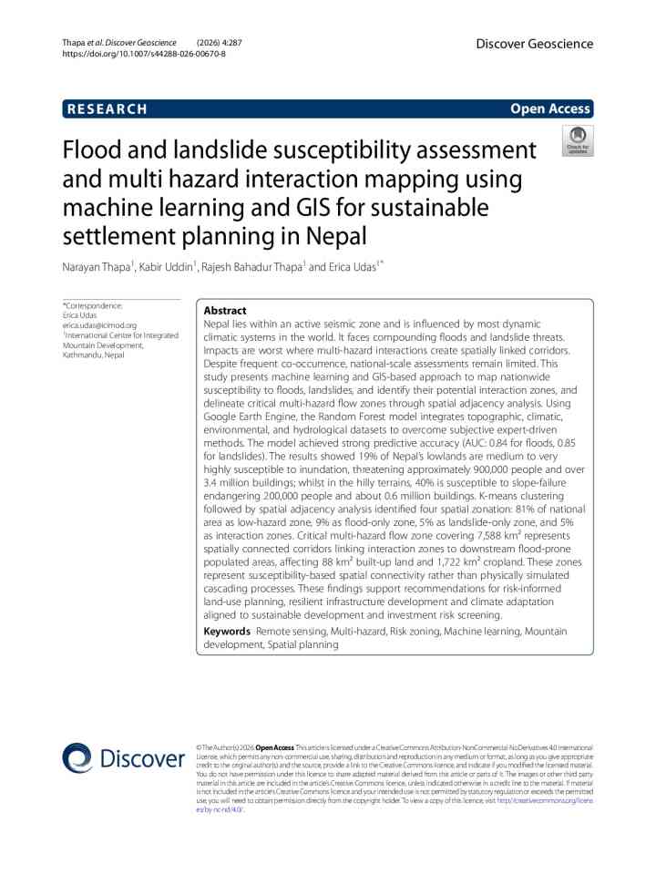
Flood and landslide susceptibility assessment and multi hazard interaction mapping using machine learning and GIS for sustainable settlement planning in Nepal thumbnail
Documents and publications

This study presents machine learning and GIS-based approach to map nationwide susceptibility to floods, landslides, and identify their potential interaction zones, and delineate critical multi-hazard flow zones through spatial adjacency analysis. Using

Discover Geoscience (Springer)
Update

Facing severe geological disasters, China is expanding risk management from individual hazard points to entire zones and deploying advanced technologies to minimize casualties and property losses.

China Daily
Research briefs

The Landslide Exposure Database maps building-level landslide risk for the entire U.S. The database rates 128 million buildings by landslide susceptibility, and uses socioeconomic data to assess residents’ vulnerability to landslide dangers.

University of Washington
Research briefs

The increased focus in recent years on the socio-economic aspects of landslides has been welcome. This area of understanding has lagged behind that for other hazards, possibly in part because of the lack on interest from the insurance industry.

Eos - AGU
Update

With approaching and nearly half a million people still live on the risky hilly terrain of the southeastern part of the country. It is a crucial time to update disaster preparedness and contingency policies with the core ideas of anticipatory action.

TBS -The Business Standard -Bangladesh
Uploaded on