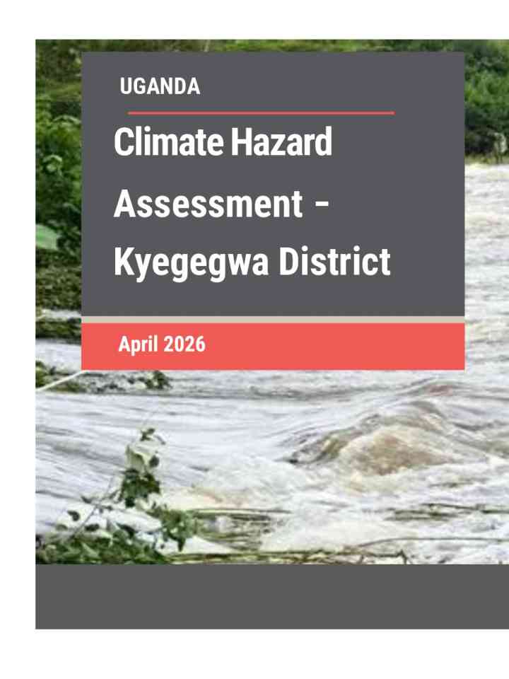
Climate Hazard Assessment – Kyegegwa District
This assessment examines climate hazards in Kyegegwa District, focusing on drought, flooding, rainfall variability and rising temperatures, and their impacts on refugee and host communities. It provides evidence to support targeted climate adaptation and resilience planning.
Key messages of assessment
- Kyegegwa District currently receives ~1,086 mm of annual rainfall, projected to rise moderately to ~ 1,266 mm by mid-century under the SSP2-4.5 scenario. However, persistent dry-season deficits and higher evapotranspiration will intensify water stress, especially in areas like Ruyonza and Rwentuha.
- Temperatures are projected to increase by 2.2°C and 2.8°C during the hottest and driest quarters, increasing the risk of seasonal drought, heat stress and the frequency of very hot days across agricultural and settlement areas.
- Seasonal drought remains a dominant hazard, with the Standard Precipitation Index and Vegetation Condition Index (VCI), which capture rainfall deficits and vegetation stress respectively, showing severe dryness across Hapuuyo, Kasule, Kakabara, Kyegegwa Town Council, Mpara, and the Kyaka II Refugee Settlement, leading to vegetation stress, reduced crop yields, and limited pasture and water availability.
- Overall, Kyegegwa has low flood risk, thanks to it landscape and river network. Flood risk is highest in Kakabara, Hapuuyo, Kasule and Ruyonza sub-counties
Explore further
Country and region
Uganda
Number of pages
25 p.
Publication year
2026