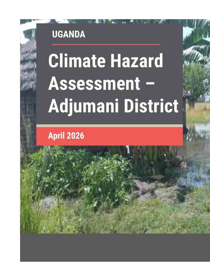
Climate hazard assessment – Adjumani District
This report presents a climate hazard assessment for Adjumani District, Uganda, a major refugee-hosting region vulnerable to climate variability due to its reliance on rain-fed agriculture.Adjumani District is one of the major refugee-hosting areas in Uganda’s West Nile Sub-region along the border of South Sudan, accommodating large refugee populations alongside host communities that rely heavily on climate-sensitive livelihoods.
Key messages
- Adjumani District currently receives ~1,193 mm of annual rainfall, projected to rise moderately to ~ 1,356 mm by mid-century under the SSP2-4.5 scenario. However, the refugee-hosting areas that are in dryland zones with limited perennial water sources and fragile soils may experience higher deficits and evapotranspiration, intensifying water stress in areas such as Dzaipi, Ukusijoni Sub-counties.
- Temperatures are projected to increase by 2.5-3.0oC during the warmest months and driest quarters, increasing the risk of seasonal drought, heat stress and the frequency of very hot days across agricultural and settlement areas.
- Seasonal droughts remain a dominant hazard, with the Standard Precipitation Index (SPI) and Vegetation Condition Index (VCI) showing severe dryness across Dzaipi, Pacara, Arinyapa, Ciforo Sub-counties and refugee settlements, such as Nyumanzi, Elema, Pagirinya, Ayilo, Alere and Maaji. This leads to vegetation stress, reduced crop yields, and limited pasture and water availability.
- Recurrent flooding affects certain sub-counties, including Pacara, Ciforo, Okusijoni and Dzaipi. This is due to their low elevation and proximity to seasonal river channels. In terms of settlement areas, Pagirinya, Oliji and Nyumanzi are particularly affected.
Explore further
Number of pages
25 p.
Publication year
2026