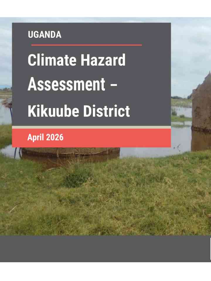
Climate hazard assessment – Kikuube district
This report provides an evidence-based overview of climate trends, hazards and projected impacts in Kikuube District, one of Uganda’s largest refugee-hosting districts. The assessment examines how increasing climate variability, environmental degradation and population pressures are affecting both host and refugee communities, with a particular focus on seasonal drought and localized flooding. Climate projections indicate that Kikuube will become warmer and moderately wetter by mid-century, with mean annual temperatures projected to rise from 23.5°C to 26.1°C and annual rainfall increasing from 1,147 mm to about 1,285 mm. Despite higher rainfall totals, persistent dry-season deficits, increased evapotranspiration and more erratic rainfall patterns are expected to intensify water stress, heat stress and climate-related risks.
The assessment used a combined geospatial, remote-sensing and climate-modelling approach integrating historical climate baselines, future climate projections, drought indicators and flood mapping. Findings show significant rainfall deficits and vegetation stress across much of the district in 2024, particularly in Kyangwali and other western and central sub-counties, while flood risk is highly localized in low-lying areas near Lake Albert. The report highlights growing vulnerability among refugee-hosting communities and recommends improved early warning systems, climate-smart agriculture, water harvesting and storage, sustainable water management, restoration of natural resources, and risk-informed land-use planning.
Explore further