Satellite observations, combined with algorithms borrowed from river engineering, could fill large gaps in our knowledge of global river flows where field data are lacking.
By Colin J. Gleason, Pierre-André Garambois, and Michael T. Durand
For hydrologists, everything begins with water. This essential resource drastically alters the land surface and powers the basic cellular respiration underlying all living things.
When water falls on land and begins its slow passage to the ocean, its path almost invariably includes rivers, the most visible veins through which our planet’s lifeblood courses. To best study freshwater systems, we need a fairly precise idea of how much water flows in Earth’s rivers. You might think that we have this precise idea, right? Wrong.
Given the importance of water—especially river water—in ecosystems, industry, and agriculture, this lack of knowledge must be addressed. This issue is far more than academic: Well-documented issues of water data secrecy, toxic water politics, and even water conflict highlight the urgent need to better understand and monitor freshwater fluvial fluxes.
Field instruments provide accurate data that can span decades but only in the locations where they are installed. The data these instruments provide are available only from nations that choose to share them.
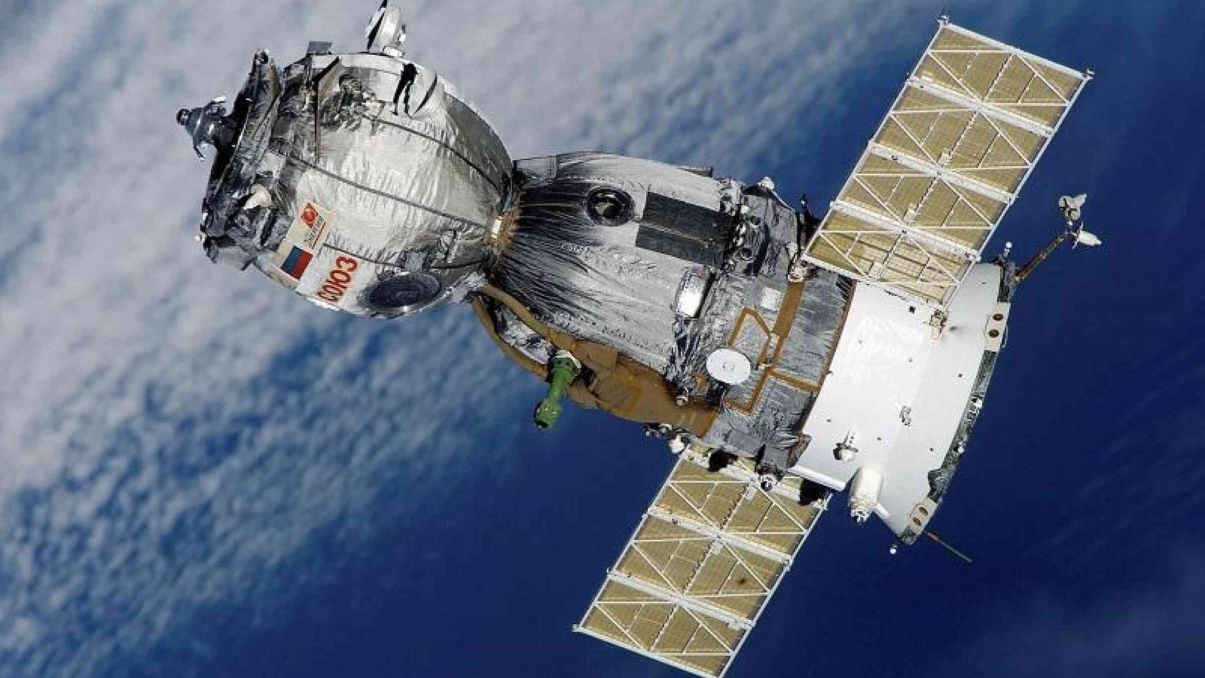
The Surface Water and Ocean Topography (SWOT) satellite mission, jointly developed by NASA, France’s Centre National d’Etudes Spatiales (CNES), the Canadian Space Agency, and the UK Space Agency and scheduled for launch in 2021, aims to change how we assess freshwater export from rivers. One mission objective explores a novel alternative approach that uses remote sensing data to estimate river fluxes.
The essence of our idea is simple: We use satellite observations of rivers, and we apply basic flow laws and the principle of mass conservation to work out what a river’s discharge must have been to produce the observations. We refer to methods that take this approach as mass-conserved flow law inversion (McFLI) techniques.
Why use McFLI?
The total amount of water on the planet measures to about 1.4 billion cubic kilometers, of which less than 1% is accessible freshwater. But we have a difficult time tracking the flux, or discharge, of water as it winds through rivers globally.
Hydrologists have been tracking river fluxes for decades using gauging stations, field instruments that record river depth and convert it to flux through an empirically calibrated rating curve. These stations are highly accurate, but they are expensive to install and maintain, and the supply of publicly available data is in decline in some parts of the world for economic and political reasons.
How, then, can we set some bounds on the total amount of freshwater flowing through rivers? We could turn to macroscale hydrological modeling to predict river flows by using a water balance approach that considers river flux to be the result of precipitation, evapotranspiration, and other interactions. However, despite advances in satellite monitoring, more efforts are required to fully constrain state-of-the-art global and regional hydrological models and link observed data to distributed hydrological fluxes.
An approach like McFLI, which is indirect but based on physical flow laws, is needed because it is nearly impossible to directly measure river discharge remotely. Planes and satellites have an extremely difficult time seeing the bottom of a river through deep or murky water. But they can measure river width, surface height, and slope and how they change over time. McFLI takes these measurements and combines this information with flow physics laws to set bounds on water discharge without having to rely on direct measurements of depth.
McFLI’s approach to modeling river flows
McFLI methods start with an open-channel flow law, of which there are several common simplified versions in hydrology. Such empirical equations, often used in the field of river engineering, serve as the basis of McFLI methods for quantifying river fluxes.
A well-known example of a flow law is Manning’s equation, which describes water velocity for free surface flows driven by gravity and includes an empirically calibrated flow resistance parameter. Another simple example is hydraulic geometry, which uses power law relationships to link width, depth, or velocity in a channel to discharge.
River flow models vary widely in their complexity, ranging from full expressions of conservation of mass and momentum in a river channel to simple, empirically derived equations that capture key flow parameters. At the same time, all such models face the significant difficulty of describing flow resistance: how much a channel slows down flow because of friction, meandering, and other losses.
Models require data; remote sensing provides some of these data, including observations of river width (but not depth). With McFLI, a few assumptions and the principle of mass conservation allow us to compute what the discharge must have been to produce the observed widths, slopes, and water elevation at the instant the observations were made from space.
The principle of mass conservation, applied to river channels, simply states that the amount of water entering and leaving a section of channel is the same. Although this assumption is patently false when considering entire river systems, it is approximately true when considering short sections of river (called reaches) where we are sure there are no tributaries, dams, sloughs, or significant groundwater exchanges.
Converting satellite observation to discharge estimates
McFLI methods are destined to play an important role in interpreting observations from the SWOT mission. With SWOT, we will be able to observe river width, surface slope, and water surface elevation simultaneously. Over time, this will allow us to track changes in a river channel’s cross-sectional area, channel shape, and water surface slope as water levels go up and down.
To make estimates of river discharge using McFLI algorithms, we write a given flow law for river cross sections. These 2-D slices of a reach represent the basic hydraulic unit of consideration here.
Flow laws such as Manning’s equation express river discharge in terms of a number of variables: the cross-sectional area of the river channel, an empirical measure of flow resistance, the hydraulic radius (which describes the shape of the channel), and the water surface slope at that cross section.
McFLI approaches search for the best fit cross-sectional area (keeping in mind that we can see changes in the area but not the total area itself), flow resistance, and discharge at each cross section through time such that mass and momentum are conserved. The resulting mathematical problem is not straightforward, and specialized stochastic (random variable) and deterministic (cause and effect) techniques are required to solve for discharge and calculate uncertainties.
Wanted: more data
The key to the McFLI approach is thinking about rivers simultaneously in space and time worldwide. These techniques will allow us to estimate discharge in ungauged basins, ones for which we have no in situ data. Doing this calculation for rivers around the world, in theory, could give us a good idea of how much water flows through rivers at any given moment.
So far, we have applied McFLI methods to short (10- to 80-kilometer) reaches on approximately 60 hydrologically and hydraulically diverse medium to large rivers. Results are encouraging: By using remotely sensed snapshots, we can actually see mass conservation in our target reaches, and by building up a temporal archive of these snapshots, we are better able to estimate discharge.
Nonetheless, there is still room for improvement. We face the same political and economic barriers to testing and validating the McFLI approach as we do in measuring discharge globally without McFLI. It is also difficult to find longitudinal data sets (collected over long periods of time) of river height and width distributed across mass-conserved reaches to ground truth, develop, and test McFLI approaches.
The collection of these data (e.g., via an array of pressure transducers coupled with a bathymetry map) would greatly enhance McFLI research. Data are also needed on a diverse range of test cases to develop greater confidence in a McFLI algorithm’s ability to estimate discharge in ungauged basins.
Three challenges
McFLI techniques are still relatively new, but research on these methods is rapidly expanding. Furthermore, the launch of SWOT promises to usher in a new age of hydrology as the satellite’s measurements, collected from a 21-day orbit, increase the information available from space.
Realizing this promise will require much work before and after the launch of SWOT. We see three key open challenges for the McFLI approach, and we hope that the hydrology community will join us in pursuing them:
- maximize the accuracy and robustness of McFLI algorithms by incorporating ancillary data from satellites, models, and in situ observations
- develop new McFLI techniques combining adapted flow laws and mathematical methods for inversions
- systematically test McFLI algorithms to define different inversion classes of rivers based on geography and available data, with well-understood error budgets for use in gauged and ungauged basins alike
Finally, McFLI is not intended to replace hydrologic modeling or gauge-based observations, and results indicate that there is room for McFLI’s improvement. Indeed, its full potential can be reached only when McFLI is used together with models and gauges. Only then can we understand the water cycle with sufficient clarity to make informed water resource decisions at the global scale.
We hope that our efforts will inspire scientists across disciplines to develop new approaches and databases to accelerate our understanding of our most precious resource. Together, we can move closer to the elusive answer to that fundamental question: How much water courses through world rivers?
Those wishing to get involved are encouraged to contact the authors or find us at the 2017 American Geophysical Union Fall Meeting in New Orleans, La., where session H105, “Remote Sensing of Rivers,” should serve as a focal point for the community.