Please help us improve PreventionWeb by taking this brief survey. Your input will allow us to better serve the needs of the DRR community.
India: Flood mapping in Odisha to reduce risk factors

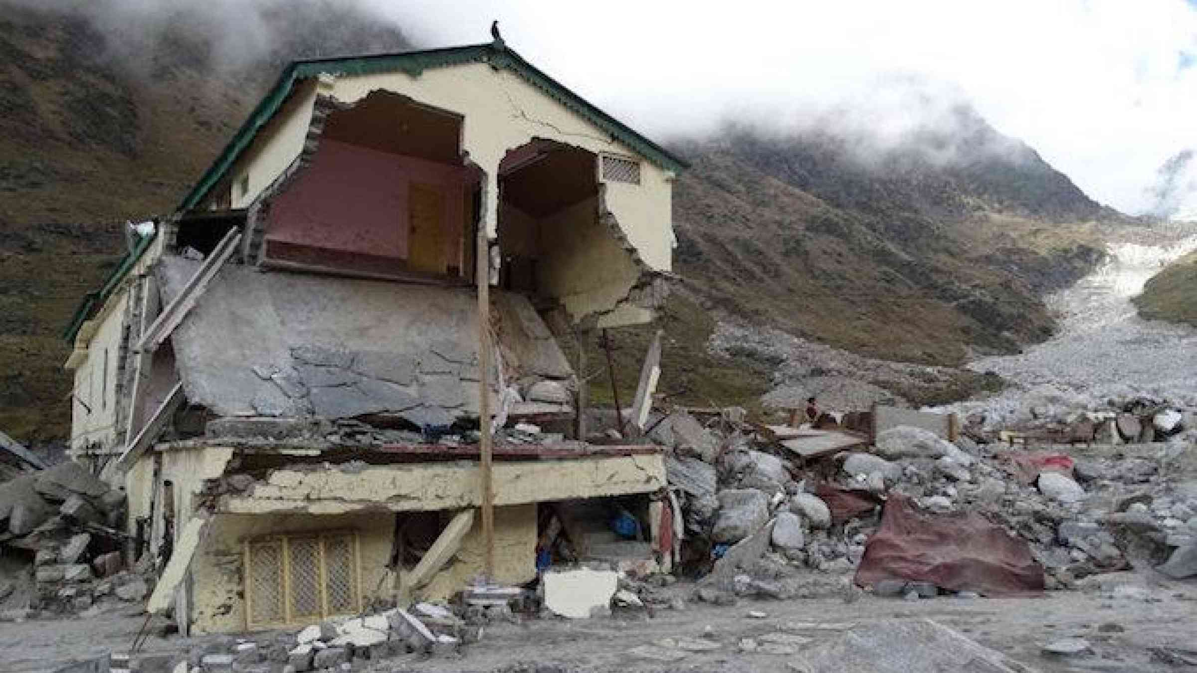
Photo by Flickr user Mountain Partnership at FAO CC BY 2.0 https://www.flickr.com/photos/mountainpartnership/21406984739/
The coastal district of Kendrapara witnessed severe floods 12 times from 1994 to 2013, reports the New Indian express. Loss of life and property was enormous. To avert such huge losses like in 2011 when 473 villages under nine blocks were badly hit, the Odisha State Disaster Mitigation Authority (OSDMA) released a Flood Inundation Mapping (FIM) for Kendrapara.
The survey teams referred to 15 years of flood history of Kendrapara district for the mapping which has been prepared under Government of India-UNDP project on Enhancing Institutional and Community Resilience to Disaster and Climate Change-2013-17. The FIM will help the vulnerable communities and district administration understand local flood risks and make cost-effective mitigation decisions, said Bholanath Mishra, environment specialist of OSDMA, on Saturday.
Explore further
Please note: Content is displayed as last posted by a PreventionWeb community member or editor. The views expressed therein are not necessarily those of UNDRR, PreventionWeb, or its sponsors. See our terms of use
Is this page useful?
Yes No Report an issue on this pageThank you. If you have 2 minutes, we would benefit from additional feedback (link opens in a new window).