1. Home
  2. Knowledge Base | PreventionWeb
  3. Hazards

Landslide

Landslide is the downslope movement of soil, rock and organic materials under the effects of gravity, which occurs when the gravitational driving forces exceed the frictional resistance of the material resisting on the slope. Landslides could be terrestrial or submarine (Varnes, 1978).

Landslides can be triggered by geological and physical causes such as glacier or snow melts, heavy rains and water pressure, earthquakes, volcanic eruptions and overly steep slopes. Landslides can also be triggered by human action, the most common being building on unstable slopes. Submarine landslides, or massive slides and rock falls hitting the sea can also cause tsunamis.

Landslides can reach speeds of over 50 km/h and can bury, crush or carry away people, objects and buildings. Landslides cannot be predicted but warning systems measuring rainfall levels can provide warning to people living in landslide-prone areas.

Instrumental monitoring to detect movement and the rate of movement can be implemented, for example, extensometers, global positioning system (GPS), seismometers, aerial photography, satellite images, LiDaR (Highland and Bobrowsky, 2008), with varying degrees of success. Increasingly, the science of landslide physics is allowing the nature of these hazards to be understood, which is leading to better techniques through which they can be managed and mitigated (HIP).

Risk factors

  • Population growth
  • Rapid urbanisation
  • Environmental degradation (deforestation and inappropriate use of lands and slopes)
  • High population density, heavy rainfall and rapid land use changes increase the instability of slopes

Risk reduction measures

  • Early warning systems to observe and alert before landslides happen
  • Hazard maps to identify landslides risk and vulnerabilities
  • Integrate landslide risk assessment into urban planning strategies
  • Building codes and standards for materials that reinforce landslide resilience
  • Improve drainage, building tunnels and trenches to stabilise slopes
  • Protect forest cover and regulate logging
  • Raise awareness of landslide risk
  • Regular drills and community evacuation exercises
  • Establish national, regional, and local evacuation plans
Latest Land Slide additions in the Knowledge Base

Uploaded on
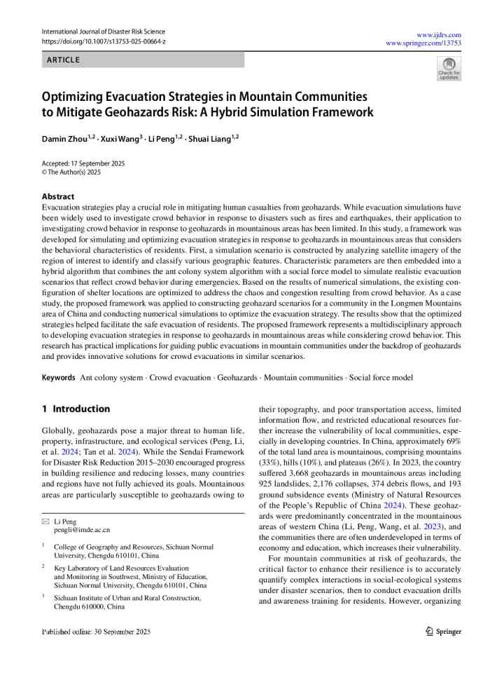
Optimizing evacuation strategies in mountain communities to mitigate geohazards risk: A hybrid simulation framework thumbnail
Documents and publications

In this study, a framework was developed for simulating and optimizing evacuation strategies in response to geohazards in mountainous areas that considers the behavioral characteristics of residents.

International Journal of Disaster Risk Science
Update

In recent years, with drastic loss of Barry Glacier's slope-supporting ice, there are already periodic [land]slides. A catastrophic collapse of the slope could create a tsunami big enough to send a potentially fatal wave to the town of Whittier.

Alaska Beacon
Update

From the Southeast rainforest to the Arctic tundra, warming conditions are creating a variety of Alaska landslide hazards, some of them posing extreme hazards to human safety and others creating expensive problems for important infrastructure.

Alaska Beacon
The biggest landslide event in Brazil: preliminary analysis of the Rio Grande do Sul mega disaster in May 2024 thumbnail
Documents and publications

This paper provides the preliminary results of an inventory of the landslides triggered by the late April and early May 2024 storm, in which the state of Rio Grande do Sul in Brazil experienced the most severe meteorological event in its history.

International Consortium of Landslides (ICL)
Update

In May, a landslide above Blatten in the canton of Valais buried most of the village under a mass of ice, mud and rock, an event that has prompted in-depth research.

University of Zurich
A group of people on a slope observing the consequences of a landslide
Update

Sudan’s Tarsin village was buried by a landslide after heavy rains. Scientists warn more disasters are likely as climate change, deforestation, and unsafe settlements increase risks, urging relocation, reforestation, and early‑warning systems.

Science and Development Network
Developing thresholds for landslides triggered by rainfall in Sindhupalchok Region thumbnail
Documents and publications

The purpose of this study is to identify rainfall thresholds for landslides in the Helambu rural municipality and Panchpokhari Thangpal rural municipality region by evaluating historical rainfall and landslides data.

Practical Action
Training course
Online
This course provides an overview of key topics related to landslide disaster risk reduction (DRR).
  • United Nations Educational, Scientific and Cultural Organization (UNESCO)
Uploaded on