1. Home
  2. Knowledge Base | PreventionWeb
  3. Hazards

Landslide

Landslide is the downslope movement of soil, rock and organic materials under the effects of gravity, which occurs when the gravitational driving forces exceed the frictional resistance of the material resisting on the slope. Landslides could be terrestrial or submarine (Varnes, 1978).

Landslides can be triggered by geological and physical causes such as glacier or snow melts, heavy rains and water pressure, earthquakes, volcanic eruptions and overly steep slopes. Landslides can also be triggered by human action, the most common being building on unstable slopes. Submarine landslides, or massive slides and rock falls hitting the sea can also cause tsunamis.

Landslides can reach speeds of over 50 km/h and can bury, crush or carry away people, objects and buildings. Landslides cannot be predicted but warning systems measuring rainfall levels can provide warning to people living in landslide-prone areas.

Instrumental monitoring to detect movement and the rate of movement can be implemented, for example, extensometers, global positioning system (GPS), seismometers, aerial photography, satellite images, LiDaR (Highland and Bobrowsky, 2008), with varying degrees of success. Increasingly, the science of landslide physics is allowing the nature of these hazards to be understood, which is leading to better techniques through which they can be managed and mitigated (HIP).

Risk factors

  • Population growth
  • Rapid urbanisation
  • Environmental degradation (deforestation and inappropriate use of lands and slopes)
  • High population density, heavy rainfall and rapid land use changes increase the instability of slopes

Risk reduction measures

  • Early warning systems to observe and alert before landslides happen
  • Hazard maps to identify landslides risk and vulnerabilities
  • Integrate landslide risk assessment into urban planning strategies
  • Building codes and standards for materials that reinforce landslide resilience
  • Improve drainage, building tunnels and trenches to stabilise slopes
  • Protect forest cover and regulate logging
  • Raise awareness of landslide risk
  • Regular drills and community evacuation exercises
  • Establish national, regional, and local evacuation plans
Latest Land Slide additions in the Knowledge Base

Uploaded on
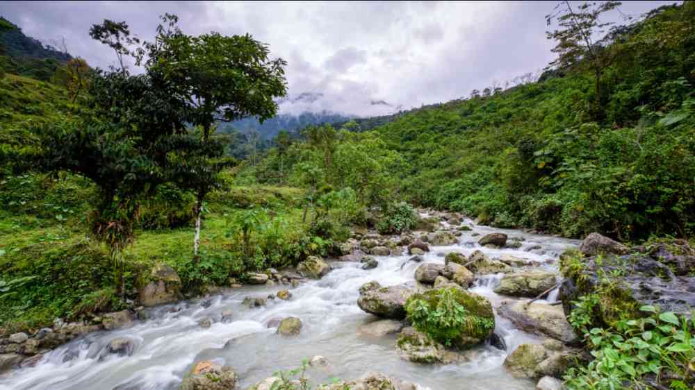
A river in Guatemala.
Research briefs

When the devastating magnitude 7.9 Wenchuan Earthquake struck central China in May 2008, it triggered more than 60,000 landslides, reshaping the slopes of the Longmen Shan mountains.

Durham University
analisis-forin-alausi-final.pdf thumbnail
Documents and publications

La presente investigación se enfoca en identificar y analizar los factores subyacentes sociales y territoriales que provocaron el desastre ocurrido en la ciudad de Alausí el 26 de marzo de 2023.

United Nations Development Programme (UNDP)
The hillsides Montecito, California after debris flow in Dec. 4, 2017 following the recordThomas fire
Research briefs

In the wake of a wildfire, there’s often an assumption that burned landscapes will be more susceptible to landslides. But new research from the University of Oregon suggests it’s not always that simple.

University of Oregon
Cover and source: Potsdam Institute for Climate Impact Research
Documents and publications

This study looks into urban expansion into steeper terrain and their relationship with the risk of landslides. The study reveals that landslide exposure in mountainous areas around cities grew faster than in commuting areas.

Institute of Earth and Environmental Sciences, University of Potsdam
Potsdam Institute for Climate Impact Research
Update

Every morning, Nepali primary school teacher Bina Tamang steps outside her home and checks the rain gauge, part of an early warning system in one of the world's most landslide-prone regions.

France 24
Traffic grows heavy on a Mumbai road after a landslide blocks lanes
Research briefs

Northwestern University and University of California, Los Angeles (UCLA) scientists have developed a new process-based framework that provides a more accurate and dynamic approach to landslide prediction over large areas.

Northwestern University
Research briefs

There is need to design a detection strategy that leverages Alaska’s existing seismic network to expand the search on areas most at risk for landslides.

University of Alaska Fairbanks
Landslide on the Manali
Research briefs

Researchers from the University of Cambridge are using AI to speed up landslide detection following major earthquakes and extreme rainfall events-buying valuable time to coordinate relief efforts and reduce humanitarian impacts.

University of Cambridge
Uploaded on