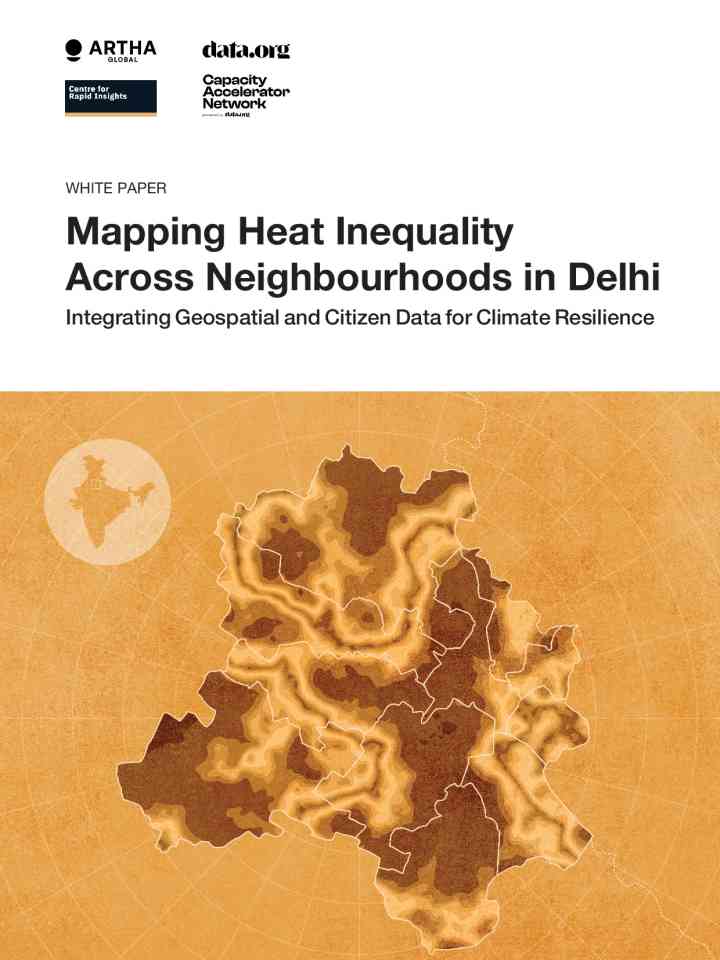
Mapping heat inequality across neighbourhoods in Delhi
This white paper examines how extreme heat is experienced unevenly across neighbourhoods in Delhi, showing that heat risk is not just about temperature but about how urban form, socio-economic conditions, and access to resources interact. By combining satellite data with household surveys, the study reveals that densely built areas with little vegetation experience higher heat, while even modest increases in green cover can significantly reduce temperatures. It finds that vulnerability is shaped by people’s ability to cope—households with access to air conditioning and financial resources are better protected, while lower-income groups face greater exposure, worse health outcomes, and higher productivity losses. Rising heat is linked to increased illness, disrupted sleep, mental stress, and missed work, highlighting how heat acts as a structural driver of inequality. The paper concludes that improving resilience requires more granular, neighbourhood-level planning, integrating citizen data, strengthening urban design (especially through greening and housing improvements), and aligning energy systems to growing cooling demands.
Explore further