Flood data mapping and analysis for early warning and urban planning in Vietnam
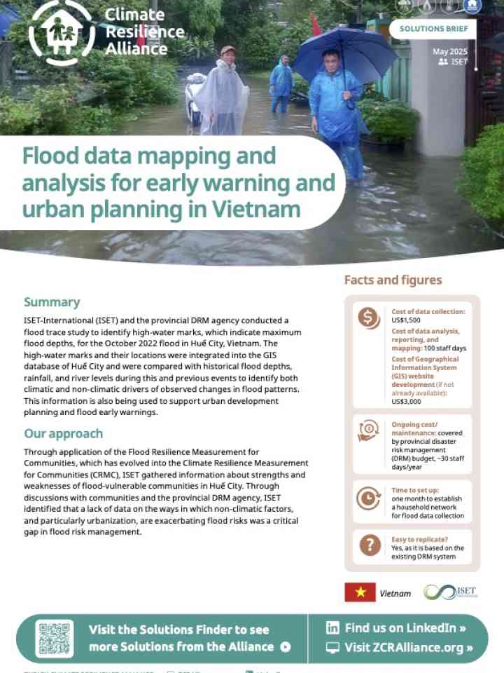
This brief outlines how ISET and the provincial disaster risk management (DRM) agency in Huế City conducted a flood trace study after the October 2022 flood. High-water marks were mapped and added to the city’s GIS database to better understand flood behaviour and support early warning and urban planning.
The data revealed that rapid urban development, especially on low-lying filled land, worsens flood impacts. The resulting flood maps now help predict impacts, inform city planning, and guide residents on safe actions during floods. The tool is low-cost, replicable, and already in use for future planning.
Explore further
Hazards
Flood
Country and region
Viet Nam
Number of pages
4 p.
Publication year
2025