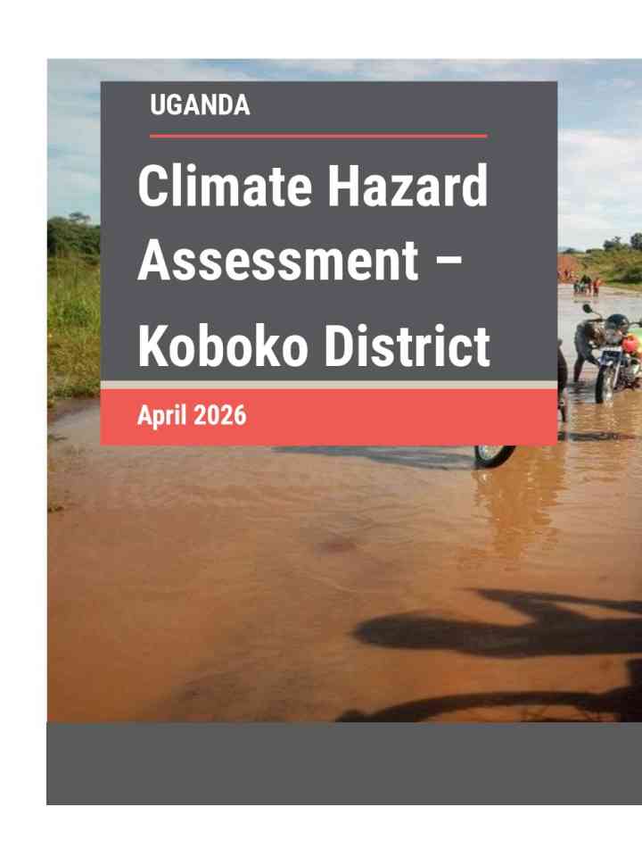
Climate Hazard Assessment – Koboko District
This report evaluates the climate hazard vulnerability of Koboko District, Uganda, a region hosting over 31,000 formal and self-settled refugees near the borders of South Sudan and the Democratic Republic of Congo.
Key messages from the assessment
- Koboko District currently receives ~1,418 mm of annual rainfall, projected to rise moderately to ~ 1,587 mm by mid-century under the SSP2-4.5 scenario. However, greater seasonal variability, prolonged dry spells and higher evapotranspiration are expected to intensify water stress, especially in Lobule Sub-county.
- Temperatures are projected to increase by 2.4-3.0oC during the warmest month and driest quarters. This will likely increase the frequency of very hot days, heat stress and seasonal drought, leading to crop productivity, livestock health and water availability.
- Seasonal drought remains a dominant hazard, with the Standard Precipitation Index (SPI) and Vegetation Condition Index (VCI), which capture rainfall deficits and vegetation stress respectively, showing severe dryness, particularly in Lobule, Ludara and Kuluba Sub counties, leading to vegetation stress, reduced crop yields, and limited pasture and water availability.
- Flooding affects areas with poor drainage infrastructure, including Lobule and central urban Koboko. Intense rainfall events following prolonged dry periods cause soil erosion, damage to crops and shelters, and disruption of roads and community infrastructure, compounding livelihood vulnerabilities.
Explore further
Country and region
Uganda
Number of pages
25 p.
Publication year
2026