Please help us improve PreventionWeb by taking this brief survey. Your input will allow us to better serve the needs of the DRR community.
Connecting space to village to reduce flood impacts
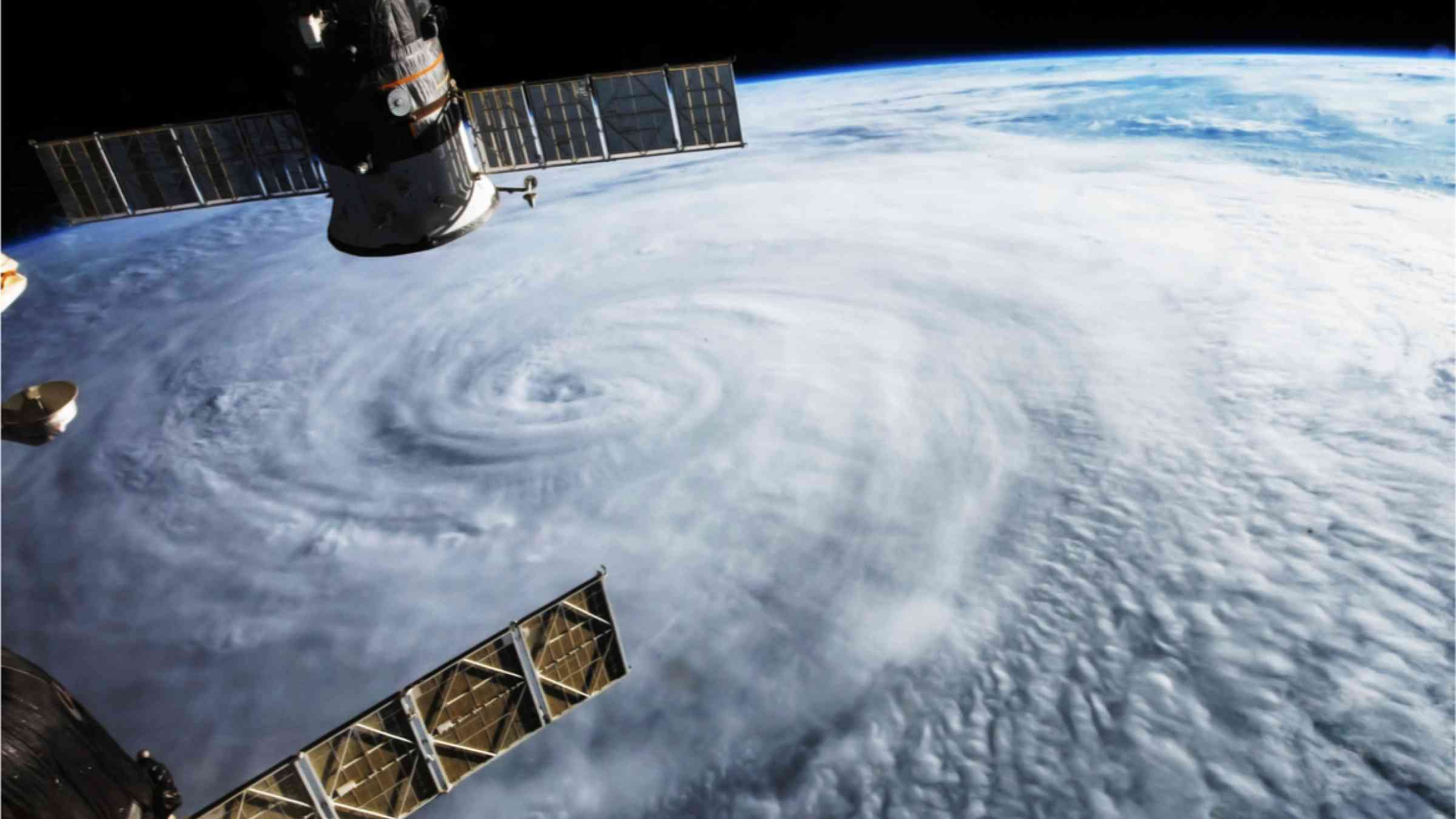
Central America’s countries are among the most vulnerable globally in terms of climate change impacts. On top of hardships worsened by the COVID-19 pandemic, the combination of climate hazards with mass unemployment, food insecurity and gang violence has driven thousands of migrants in northern Central America to flee their homelands. In November 2020, two back-to-back dangerous category 4 hurricanes, Eta and Iota, struck the region, making landfall on the coast of Nicaragua, near its border with Honduras, and also affecting El Salvador and Guatemala. Altogether, they caused an estimated one billion US dollars in damage. Despite such impacts, the region was better able to prepare for and respond to Eta and Iota using space-based technologies.
Regional institutions such as CEPREDENAC and CRRH were able to call upon tools and platforms developed by SERVIR, a joint program of USAID and NASA, for forecasting the storms’ potential impacts and post-impact assessment. While SERVIR does not currently have a hub in Central America, it has a presence in South America, Africa, and Asia, where it strengthens regional and national capacity for climate change mitigation, adaptation and disaster risk reduction.
HYDRAFloods, the Hydrologic Remote Sensing Analysis for Floods service, co-developed by SERVIR-Mekong and NASA, combines optical and radar imagery, capable of seeing through clouds, to map flood extent. CEPREDENAC used HYDRAFloods-derived flood maps, which showed widespread flooding of agricultural lands, in its impact assessments.
Complementing HYDRAFloods was the GEOGLoWS ECMWF Streamflow Hydroviewer, a river and streamflow monitoring platform developed by SERVIR-supported researcher Dr. Jim Nelson of Brigham Young University. It provides up to 15-day forecasts under multiple scenarios that pinpoint sections of rivers which are likely to flood over the next few days. Before Iota’s landfall, Dr. Nelson had calls with CEPREDENAC and CRRH to walk them through Hydroviewer forecasts. Coordination with the managers of Honduras’ El Cajon hydroelectric dam also ultimately led to the safe release of reservoir water, ultimately protecting downstream businesses and residents.
According to the heads of CEPREDENAC and CRRH, the monitoring and forecasting capabilities bolstered by the unique vantage point of space were welcome additions to their disaster management processes.
“Use of the Hydroviewer supported the region’s hydrometeorological services, especially in watersheds without real-time monitoring and hydrological models, for decision-making for river early warning systems,” said Berta Olmedo, CRRH’s Executive Secretary. She also highlighted the need for more research to improve forecast results, including tapping the expertise of the region’s hydrologists.
Claudia Herrera, CEPREDENAC’s Executive Secretary added that, “The [El Cajon] dam situation was complex, and information was needed for quickly making decisions. Had the dam burst, literally hundreds of thousands of people would have been affected. The information provided by NASA, from GEOGloWS, from HYDRAFloods, and from the other systems was essential to the timely decision-making which likely saved lives.”
The support to Central America demonstrates SERVIR’s demand-driven focus and the scalability of such services built on satellite technology. Jorge Cabrera, a Technical Advisor at the SICA General Secretariat indicated that “The coordination with CEPREDENAC, CRRH, and other SICA organizations was crucial to an effective response to Eta and Iota. We need to continue addressing these issues by building regional capacity.”
Explore further
Please note: Content is displayed as last posted by a PreventionWeb community member or editor. The views expressed therein are not necessarily those of UNDRR, PreventionWeb, or its sponsors. See our terms of use
Is this page useful?
Yes No Report an issue on this pageThank you. If you have 2 minutes, we would benefit from additional feedback (link opens in a new window).