1. Home
  2. Knowledge Base | PreventionWeb
  3. Themes

Risk identification and assessment

A qualitative or quantitative approach to determine the nature and extent of disaster risk by analysing potential hazards and evaluating existing conditions of exposure and vulnerability that together could harm people, property, services, livelihoods and the environment on which they depend. Performing risk, hazard and vulnerability assessments is a key disaster risk management activity.

This theme covers aspects related to hazard/vulnerability/climate risk assessment, disaster risk modelling and analysis.
Through UNICEF’s open-access GeoSight platform, decision-makers can visualise risk, compare layers, and identify priority areas for action.

Latest Risk identification and assessment additions in the Knowledge Base

Uploaded on
Update

Nearly 1 in 5 people globally are at high risk from climate hazards, living in areas exposed to extreme weather with limited capacity to recover from its impacts.

World Bank, the
Training course
Online
Learn how to navigate climate uncertainty, assess disaster risk, and make more informed decisions to strengthen organizational resilience.
  • Columbia University
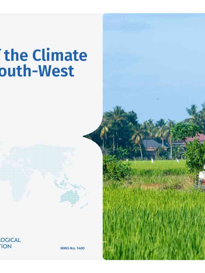
State of the Climate in the South-West Pacific 2025 thumbnail
Documents and publications

The State of the Climate in the South-West Pacific 2025 report documents how the region had its second warmest year on record (behind 2024), with extreme weather causing widespread disruption, economic damage, and loss of life.

World Meteorological Organization (WMO)
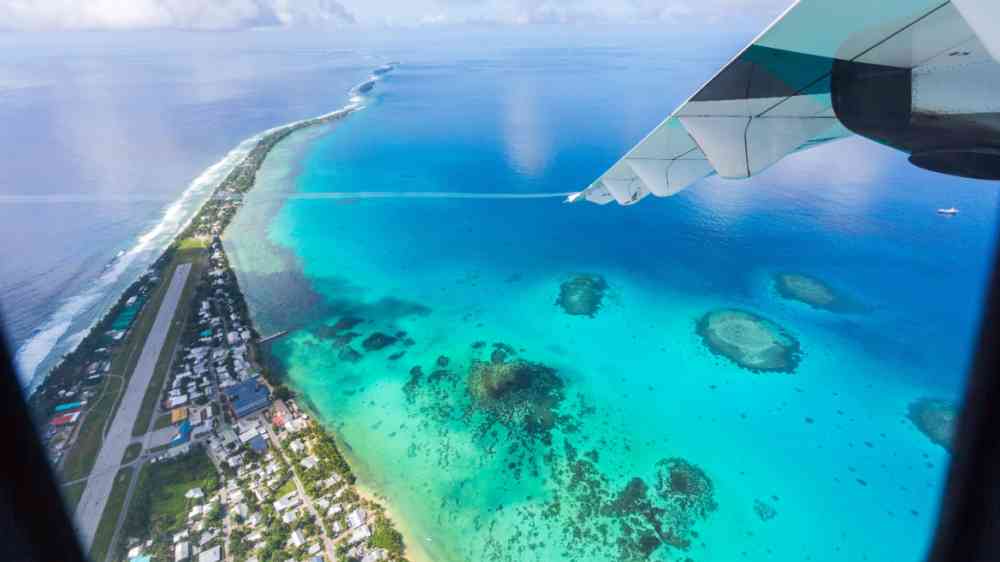
Aerial view of Funafuti atoll and airstrip of international airport in Vaiaku from air.
Update

The vast ocean expanse in the South-West Pacific is becoming hotter and more acidic, harming local economies and marine ecosystems, whilst rising sea levels threaten vulnerable coastal communities and low-lying island nations.

World Meteorological Organization (WMO)
Update

The frequency of extreme weather events can be predicted more accurately than presently possible by combining artificial intelligence (AI) with physical climate modelling, using a protocol called rare-event sampling.

Physics World
Olive trees burn during a wildfire in Greece
Research briefs

In some parts of Southern Europe, more than half of the land has burned at least once in the last two decades.

Centro Euro-Mediterraneo sui Cambiamenti Climatici (CMCC)
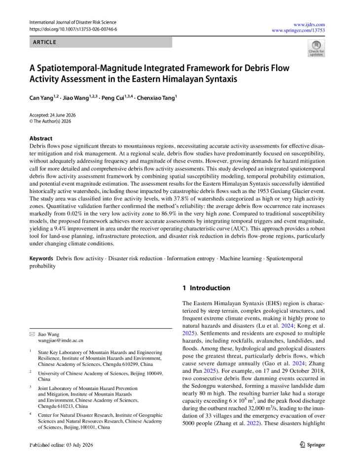
A spatiotemporal-magnitude integrated framework for debris flow activity assessment in the Eastern Himalayan syntaxis thumbnail
Documents and publications

This study addresses a gap in regional-scale debris flow research, which has traditionally focused on susceptibility mapping without adequately capturing frequency and magnitude — key elements needed for effective disaster mitigation.

International Journal of Disaster Risk Science
Update

A new interactive platform mapping sea-level change across Africa reveals how coastal impacts vary dramatically from place to place — reshaping how scientists and policymakers understand risk along some of the continent’s most vulnerable shorelines.

Mail and Guardian Africa, M&G Media
Uploaded on