1. Home
  2. Knowledge Base | PreventionWeb
  3. Themes

Risk identification and assessment

A qualitative or quantitative approach to determine the nature and extent of disaster risk by analysing potential hazards and evaluating existing conditions of exposure and vulnerability that together could harm people, property, services, livelihoods and the environment on which they depend. Performing risk, hazard and vulnerability assessments is a key disaster risk management activity.

This theme covers aspects related to hazard/vulnerability/climate risk assessment, disaster risk modelling and analysis.
Through UNICEF’s open-access GeoSight platform, decision-makers can visualise risk, compare layers, and identify priority areas for action.

Latest Risk identification and assessment additions in the Knowledge Base

Uploaded on
Update

Climate models show warmer winters, with precipitation rates staying about the same but producing more rain and less snowpack, which leads to summer drought.

Inside Climate News
Update

The state’s first Superfund research center is looking into how climate change is resurfacing industrial pollution.

Grist Magazine
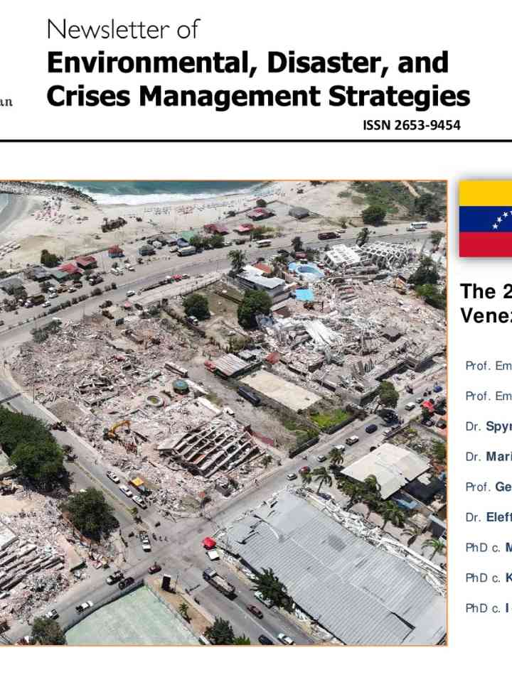
newsletter_32_24-june-2026-venezuela_eqs.pdf thumbnail
Documents and publications

This report constitutes a synthesis of field observations collected during the Greek scientific mission in Venezuela, published information obtained from international scientific organizations, governmental agencies, and the scientific literature.

National and Kapodistrian University of Athens
Learning from disaster: evaluating Pakistan's first national adaptation plan for flood risk management thumbnail
Documents and publications

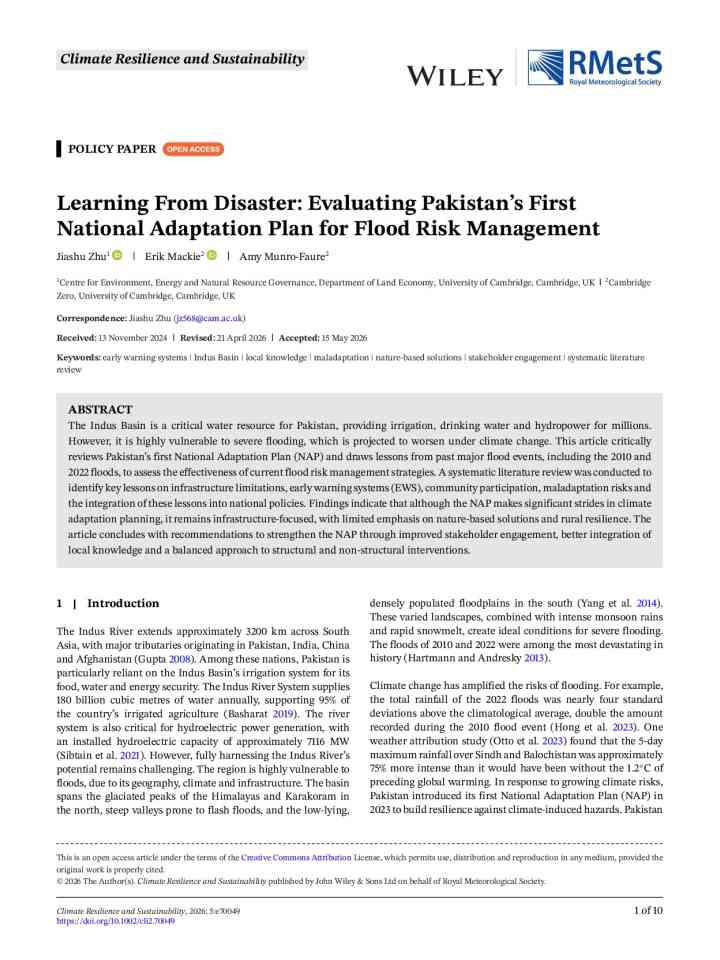
This article critically reviews Pakistan's first National Adaptation Plan (NAP) and draws lessons from past major flood events, including the 2010 and 2022 floods, to assess the effectiveness of current flood risk management strategies.

Climate Resilience and Sustainability (RMetS)
Mt. Manaslu in Himalayas, Nepal.
Update

Mountain snow and meltwater from glaciers in the Himalayas determine how much water is available for drinking, farming and hydropower for millions of people in India, Pakistan, Nepal, China and Afghanistan.

Conversation Media Group, the
Update

The Nueces River of South Texas flowed at twice the rate of Niagara Falls last week during the region’s second flood disaster in two years.

Inside Climate News
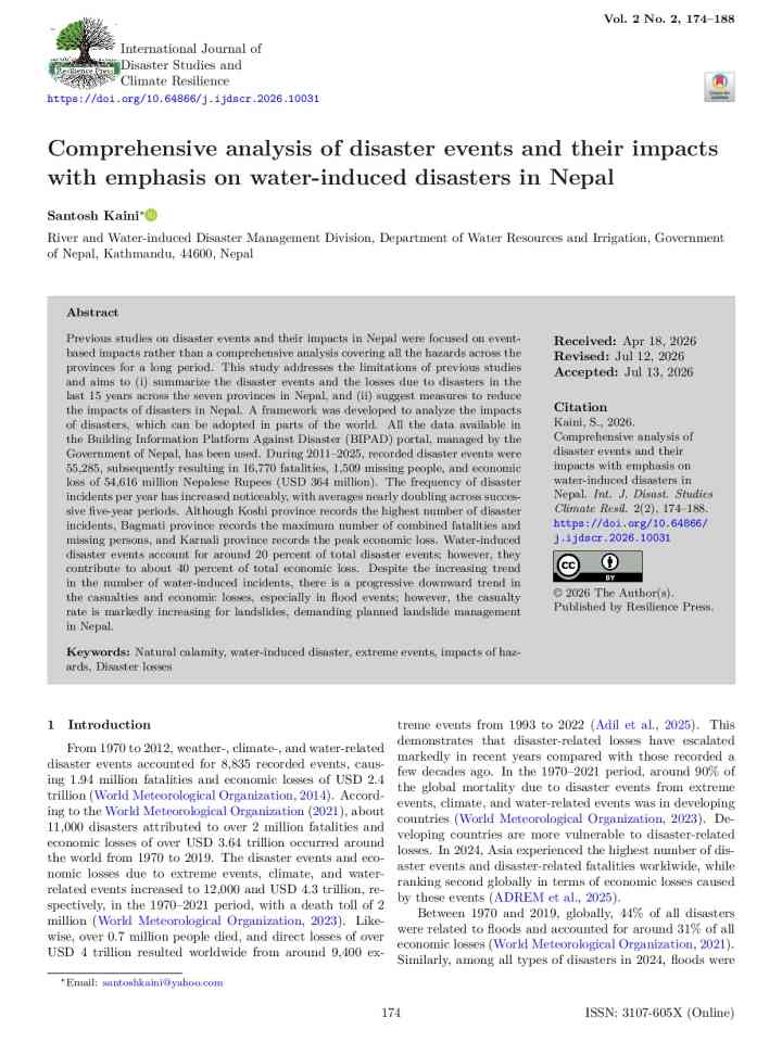
02-kaini-ijdscr202610031.pdf thumbnail
Documents and publications

This study provides a comprehensive analysis of the spatiotemporal dynamics of disaster events, with a focus on water-induced disasters and their associated impacts across Nepal for the period 2011–2025.

International Journal of Disaster Studies and Climate Resilience (IJDSCR)
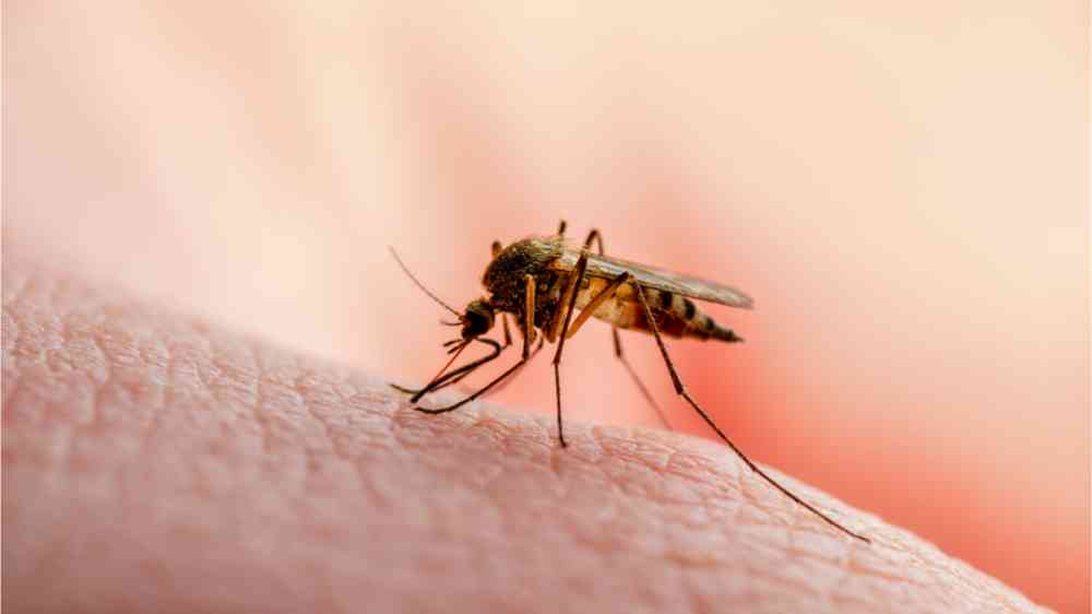
This image shows a mosquito sitting on human skin.
Update

Monitoring is expensive and labor intensive. But it helps public health officials stop outbreaks.

Inside Climate News
Uploaded on