1. Home
  2. Knowledge Base | PreventionWeb
  3. Hazards

Landslide

Landslide is the downslope movement of soil, rock and organic materials under the effects of gravity, which occurs when the gravitational driving forces exceed the frictional resistance of the material resisting on the slope. Landslides could be terrestrial or submarine (Varnes, 1978).

Landslides can be triggered by geological and physical causes such as glacier or snow melts, heavy rains and water pressure, earthquakes, volcanic eruptions and overly steep slopes. Landslides can also be triggered by human action, the most common being building on unstable slopes. Submarine landslides, or massive slides and rock falls hitting the sea can also cause tsunamis.

Landslides can reach speeds of over 50 km/h and can bury, crush or carry away people, objects and buildings. Landslides cannot be predicted but warning systems measuring rainfall levels can provide warning to people living in landslide-prone areas.

Instrumental monitoring to detect movement and the rate of movement can be implemented, for example, extensometers, global positioning system (GPS), seismometers, aerial photography, satellite images, LiDaR (Highland and Bobrowsky, 2008), with varying degrees of success. Increasingly, the science of landslide physics is allowing the nature of these hazards to be understood, which is leading to better techniques through which they can be managed and mitigated (HIP).

Risk factors

  • Population growth
  • Rapid urbanisation
  • Environmental degradation (deforestation and inappropriate use of lands and slopes)
  • High population density, heavy rainfall and rapid land use changes increase the instability of slopes

Risk reduction measures

  • Early warning systems to observe and alert before landslides happen
  • Hazard maps to identify landslides risk and vulnerabilities
  • Integrate landslide risk assessment into urban planning strategies
  • Building codes and standards for materials that reinforce landslide resilience
  • Improve drainage, building tunnels and trenches to stabilise slopes
  • Protect forest cover and regulate logging
  • Raise awareness of landslide risk
  • Regular drills and community evacuation exercises
  • Establish national, regional, and local evacuation plans

Latest Land Slide additions in the Knowledge Base

Uploaded on
Cover
Documents and publications

This study aims to assess the impact of urbanization and deforestation on river flooding in Cap-Haïtien by applying the hydrological model Soil Water Assessment Tool (SWAT) and the hydrodynamic model Sobek-Rural.

Journal of Flood Risk Management (Wiley)
Update

The Caribbean is bracing itself for an intense hurricane season. A fragrant plant could help limit damage from extreme weather in Trinidad.

British Broadcasting Corporation (BBC)
Cover
Documents and publications

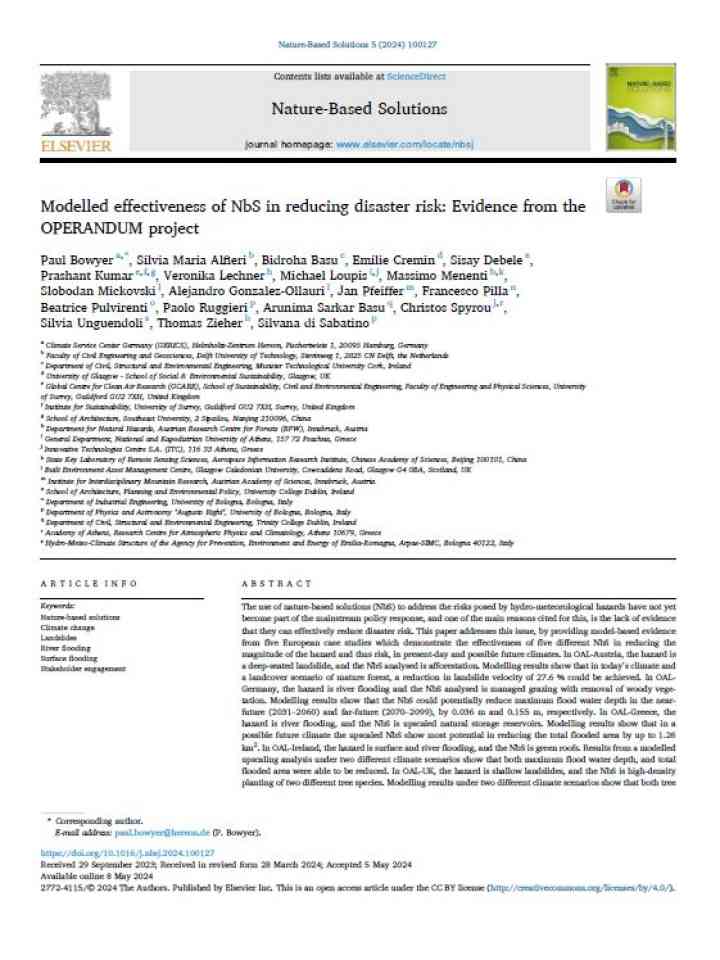
This paper provides model-based evidence from five European case studies which demonstrate the effectiveness of five different Nature-based Solutions (NbS) in reducing the magnitude of the hazard and thus risk, in present-day and possible future climates.

Nature-Based Solutions (Elsevier)
Update

The Swiss Seismological Service is now cataloguing suspected mass movement events recorded on its network.

Eos - AGU
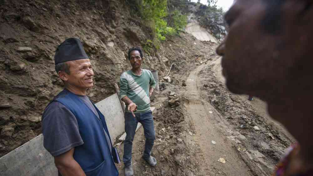
Nepal - Badil Lama is an engineer trained in landslide mitigation by building safer roads
Update

Scientists from multiple universities teamed up with the Government of Nepal and Australia to deliver a state-of-the-art artificial intelligence system that can analyse the amount of data needed to identify when rain-soaked ground is about to give-way.

University of Melbourne
University of Florence
Tribhuvan University
Nepal - government
Department of Foreign Affairs and Trade - Australia
Rockfall blocks a road followin heavy rain
Update

The landslide in Brienz (GR) in 2023 kept Switzerland on tenterhooks for weeks. Researchers from ETH Zurich, WSL and SLF used a model to provide a highly accurate blind prediction of where the sliding mass would come to rest.

ETH Zurich
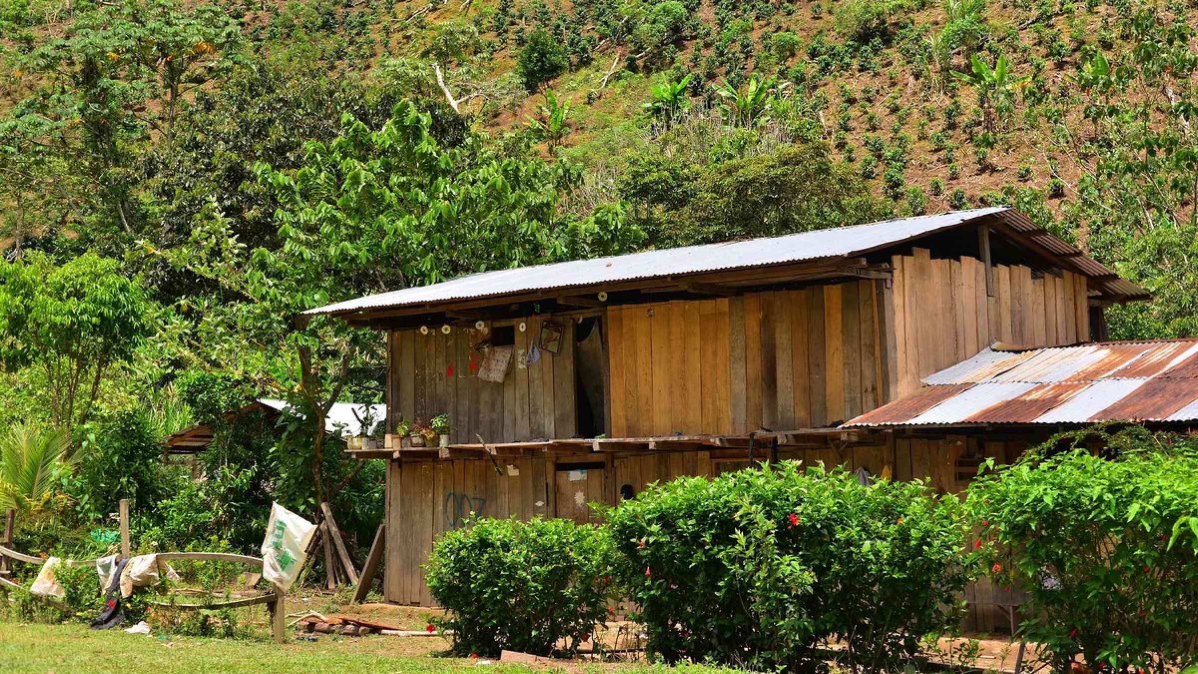
Coffee farm in Peru
Update

City officials and coffee farmers, with support from UNEP, have launched a project to restore 1,150 hectares of forests and coffee plantations. The goal: revive San Salvador’s ability to absorb rainfall.

United Nations Environment Programme (UNEP)
Aerial View of Mudslide St Bernard, Philippines
Update

The exact death toll is still unknown, and estimates have varied, but the figure could be as many as 2,000 or more. Estimating deaths in disasters comes with a range of challenges and we may never know the actual number of lives lost.

Conversation Media Group, the
Uploaded on