1. Home
  2. Knowledge Base | PreventionWeb
  3. Hazards

Landslide

Landslide is the downslope movement of soil, rock and organic materials under the effects of gravity, which occurs when the gravitational driving forces exceed the frictional resistance of the material resisting on the slope. Landslides could be terrestrial or submarine (Varnes, 1978).

Landslides can be triggered by geological and physical causes such as glacier or snow melts, heavy rains and water pressure, earthquakes, volcanic eruptions and overly steep slopes. Landslides can also be triggered by human action, the most common being building on unstable slopes. Submarine landslides, or massive slides and rock falls hitting the sea can also cause tsunamis.

Landslides can reach speeds of over 50 km/h and can bury, crush or carry away people, objects and buildings. Landslides cannot be predicted but warning systems measuring rainfall levels can provide warning to people living in landslide-prone areas.

Instrumental monitoring to detect movement and the rate of movement can be implemented, for example, extensometers, global positioning system (GPS), seismometers, aerial photography, satellite images, LiDaR (Highland and Bobrowsky, 2008), with varying degrees of success. Increasingly, the science of landslide physics is allowing the nature of these hazards to be understood, which is leading to better techniques through which they can be managed and mitigated (HIP).

Risk factors

  • Population growth
  • Rapid urbanisation
  • Environmental degradation (deforestation and inappropriate use of lands and slopes)
  • High population density, heavy rainfall and rapid land use changes increase the instability of slopes

Risk reduction measures

  • Early warning systems to observe and alert before landslides happen
  • Hazard maps to identify landslides risk and vulnerabilities
  • Integrate landslide risk assessment into urban planning strategies
  • Building codes and standards for materials that reinforce landslide resilience
  • Improve drainage, building tunnels and trenches to stabilise slopes
  • Protect forest cover and regulate logging
  • Raise awareness of landslide risk
  • Regular drills and community evacuation exercises
  • Establish national, regional, and local evacuation plans

Latest Land Slide additions in the Knowledge Base

Uploaded on
Update

The Government of Panama received US$26.7 million from CCRIF SPC within 14 days of a rainfall event that affected that country during October 31 to November 4, 2024.

Caribbean Catastrophe Risk Insurance Facility, the
Hydrometeorological PDNAs study
Documents and publications

This study reviews how environmental impacts are assessed in hydrometeorological post-disaster needs assessments (PDNAs), a tool used for evaluating disaster effects on sectors like ecosystems, and proposes improvements for PDNA methodology.

United Nations Office for Disaster Risk Reduction (UNDRR)
United Nations Environment Programme (UNEP)
United Nations Development Programme (UNDP)
Case study
Location: Guyana
En mai et juin 2021, trois glissements estimés à 1 500 m3 se sont produits sur le versant sud de la Montagne du Tigre, sur la commune de Remire-Montjoly (Guyane française).
  • Bureau de Recherches Géologiques et Minières
Cover and source: Natural Hazards
Documents and publications

This review of landslide inventories provides an essential assessment of the state of knowledge around landslide hazard and can guide the focus of future studies.

Natural Hazards (Springer)
Rocks block a road in Tejeros, Gran Canaria, Spain after heavy rains trigger landslides and rockfalls
Research briefs

A new paper suggests that recent attempts to reduce loss of life in this part of northwest China may have had some effect.

Eos - AGU
Rock and soil cover destroyed houses in La Conchita, California after a landslide tore through the community in 2005.
Research briefs

The inventory identified some 1,000 landslide points in São Sebastião, São Paulo state, Brazil. The research group is now using airborne laser scanning and other data inputs to create a methodology capable of more precise results.

São Paulo Research Foundation (Agência FAPESP)
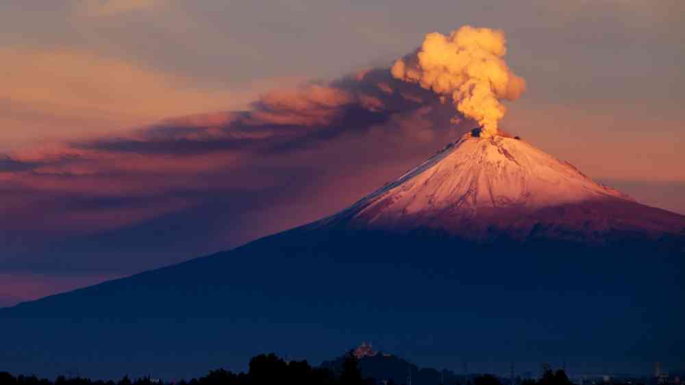
Mount Popocatepetl in Mexico erupting
Update

Data from NISAR (NASA-ISRO Synthetic Aperture Radar) will improve our understanding of such phenomena as earthquakes, volcanoes, and landslides, as well as damage to infrastructure.

National Aeronautics and Space Administration (NASA)
Cover
Documents and publications

This research proposes a relative exposure formula under three-dimensional conditions to account for the concealment and exposure effects between large and small particles in wide-graded soil, with regards to assessing landslide dam failures.

Nature Scientific Reports
Uploaded on