1. Home
  2. Knowledge Base | PreventionWeb
  3. Hazards

Landslide

Landslide is the downslope movement of soil, rock and organic materials under the effects of gravity, which occurs when the gravitational driving forces exceed the frictional resistance of the material resisting on the slope. Landslides could be terrestrial or submarine (Varnes, 1978).

Landslides can be triggered by geological and physical causes such as glacier or snow melts, heavy rains and water pressure, earthquakes, volcanic eruptions and overly steep slopes. Landslides can also be triggered by human action, the most common being building on unstable slopes. Submarine landslides, or massive slides and rock falls hitting the sea can also cause tsunamis.

Landslides can reach speeds of over 50 km/h and can bury, crush or carry away people, objects and buildings. Landslides cannot be predicted but warning systems measuring rainfall levels can provide warning to people living in landslide-prone areas.

Instrumental monitoring to detect movement and the rate of movement can be implemented, for example, extensometers, global positioning system (GPS), seismometers, aerial photography, satellite images, LiDaR (Highland and Bobrowsky, 2008), with varying degrees of success. Increasingly, the science of landslide physics is allowing the nature of these hazards to be understood, which is leading to better techniques through which they can be managed and mitigated (HIP).

Risk factors

  • Population growth
  • Rapid urbanisation
  • Environmental degradation (deforestation and inappropriate use of lands and slopes)
  • High population density, heavy rainfall and rapid land use changes increase the instability of slopes

Risk reduction measures

  • Early warning systems to observe and alert before landslides happen
  • Hazard maps to identify landslides risk and vulnerabilities
  • Integrate landslide risk assessment into urban planning strategies
  • Building codes and standards for materials that reinforce landslide resilience
  • Improve drainage, building tunnels and trenches to stabilise slopes
  • Protect forest cover and regulate logging
  • Raise awareness of landslide risk
  • Regular drills and community evacuation exercises
  • Establish national, regional, and local evacuation plans

Latest Land Slide additions in the Knowledge Base

Uploaded on
Update

A catastrophic glacier collapse on May 28, 2025, buried most of the Swiss village of Blatten, located in the southern canton of Valais, under a massive avalanche of ice, rock, and mud.

Onewater
Submarine telecommunication cable
Research briefs

A new model calibration methodology increases the accuracy and confidence of the landslide model when it makes predictions. This helps improve underwater landslide risk assessments for ocean wind farms, oil rigs and other offshore installations.

PhysOrg, Omicron Technology Ltd
Cover
Documents and publications

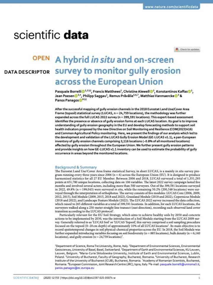
A pan-EU survey combining fieldwork and satellite data identifies gully erosion patterns, highlighting risk areas using AI models. Key regions include Spain and Italy. The study supports environmental monitoring and targeted soil conservation strategies.

Scientific Data (Nature)
Aerial view of Martha mine at Waihi, New Zealand
Update

A new analysis of a fatal landslide that occurred on 13 February 2024 at the Çöpler Gold Mine in Türkiye reveals that the site of the landslide had been slowly moving for at least four years prior to the failure.

Seismological Society of America
Cover
Documents and publications

In this chapter, slow-moving landslides in the remote and complex terrain of Pakistan using multi-orbit Sentinel-1 images acquired between January 2017 and December 2023 are mapped and investigated.

IntechOpen Limited
Cover
Documents and publications

The study initially proposes an indicator-based approach for assessing location-specific variations in landslide resilience to minimize landslide risk by building a resilient society in Rangamati Hill District (RHD), Bangladesh.

Ecological Indicators (Elsevier)
Analyzing the effects of eco-DRR practices on slope stability in a landslide-prone transport corridor in the Western Ghats, India  thumbnail
Documents and publications

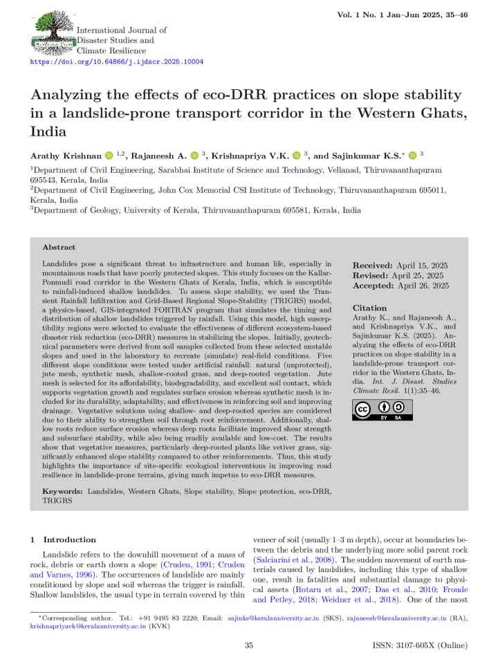
This study focuses on the effectiveness of ecosystem-based disaster risk reduction (eco-DRR) in stabilizing the Kallar-Ponmudi road corridor in the Western Ghats of Kerala, India, which is susceptible to rainfall-induced shallow landslides.

International Journal of Disaster Studies and Climate Resilience (IJDSCR)
Update

By integrating science, policy, and community action, Nepal can build resilience against landslide disasters and ensure safer living conditions for its people.

The Rising Nepal
Uploaded on