1. Home
  2. Hubs: tools and knowledge

El Niño

El Niño is a recurring climate pattern in the tropical Pacific that can disrupt rainfall and temperature patterns around the world. Its effects vary widely between regions and between events, increasing the likelihood of hazards such as drought, flooding, extreme heat and wildfire in some places while bringing more favourable conditions in others. Because El Niño can be forecast months in advance, it provides an important early warning window to assess changing risks and prepare before impacts occur.

El Niño is the warm phase of the El Niño–Southern Oscillation (ENSO), a naturally occurring climate pattern involving changes in ocean temperatures and the atmosphere over the central and eastern tropical Pacific. It typically occurs every two to seven years and can influence temperature and rainfall patterns across large parts of the world. (WMO, El Niño/La Niña)

El Niño is not itself a disaster or a single hazard. Rather, it changes the likelihood of conditions that can contribute to drought, flooding, extreme heat, wildfire and other hazards. Its effects vary considerably between regions and between individual events. (WMO, El Niño/La Niña; UNDRR, 2026)

This matters for disaster risk reduction because El Niño can be forecast months in advance. Seasonal forecasts provide time to assess how changing climate conditions may interact with exposure, vulnerability and existing risks, and to prepare before impacts occur.

Forecasts are probabilistic. They indicate that some conditions have become more or less likely – they do not predict exactly what will happen in a particular place. Climate information therefore needs to be combined with historical impacts, exposure, vulnerability and other risk information, and updated as forecasts and conditions evolve. (UNDRR and WMO, 2023)
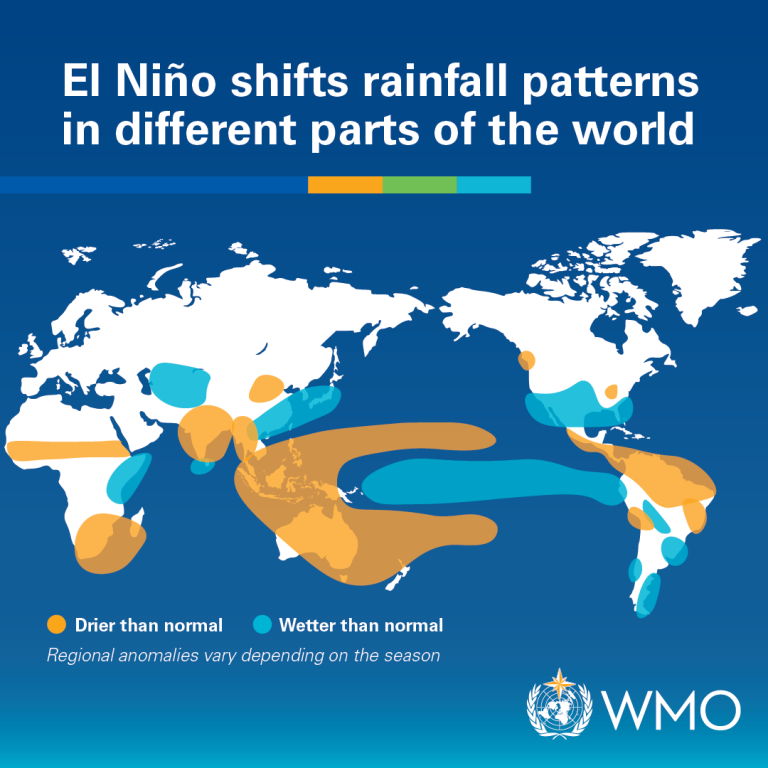
World map showing regions affected by El Niño, with areas marked as drier or wetter than normal

El Niño shifts rainfall patterns in different parts of the world. Regional anomalies vary depending on the season.
Graphic: World Meteorological Organization.

Source: Lenssen, N. J. L., L. Goddard and S. Mason, 2020: Seasonal Forecast Skill of ENSO Teleconnection Maps. Weather and Forecasting, 35, 2387-2406, doi.org/10.1175/WAF-D-19-0235.1

The 2026-27 event in numbers

2.9°C Seasonal average sea surface temperature (SST) anomaly forecast

WMO August–October 2026 forecast

~80%Share of drought losses borne by agriculture

FAO, developing countries

49 millionMore people facing acute hunger from September

WFP projection, August 2026

How El Niño can change risk

El Niño influences atmospheric circulation around the world, but its effects are not uniform. The same event can bring excess rainfall to one region and drought to another, and impacts may also vary considerably within countries.

El Niño is commonly associated with:

  • increased rainfall in parts of southern South America, the southern United States, East Africa and central Asia;
  • drier conditions in parts of Central America, northern South America, the Caribbean, Australia, Indonesia, southern Africa and South Asia; and
  • changes in temperature and in the likelihood of climate extremes. (WMO, El Niño/La Niña)

These broad patterns are useful for understanding potential risk, but they should not be treated as local forecasts. National Meteorological and Hydrological Services, Regional Climate Centres and Regional Climate Outlook Forums provide more detailed and regularly updated information for particular countries and regions. (WMO)

The strength of an El Niño event is only one factor determining its impacts. Events also differ in their timing, duration and the location of ocean warming, and they interact with other climate drivers. A strong El Niño will therefore not necessarily reproduce the impacts of previous strong events.

Impacts may also cascade across sectors and national borders. Past El Niño events have affected agriculture and food systems, water supplies, energy, health, transport, fisheries and supply chains. In 1997–1998, for example, drought and fires in Indonesia generated widespread transboundary haze across South-East Asia, while low water levels have affected operations of the Panama Canal during major El Niño events.

Disaster risk RISK = Hazard HAZARD × Exposure EXPOSURE × Vulnerability VULNERABILITY ÷ Capacity CAPACITY amplifies feeds feeds forecast lead time El Niño: understand it within disaster risk EL NIÑO warm phase of ENSO, acting from beneath
amplifies (raises risk) feeds El Niño's impact forecast lead time (lowers risk)

El Niño and the components of risk

Risk is the product of hazard, exposure and vulnerability, reduced by the capacity to anticipate and cope. El Niño rises from beneath the equation. It amplifies the hazard term, and its impact feeds on the exposure and vulnerability already in place, which is why the same event causes far more harm in some places than in others. Because it is forecastable seasons ahead, it can also raise capacity through anticipatory action, which pulls risk back down. El Niño is a physical ocean-atmosphere phenomenon, not a product of exposure or vulnerability: the inward arrows show what its impact draws on, not what creates it. Hover any element, or click to open its reference page.

Shown for the warm phase (El Niño); the cold phase (La Niña) has a different, often opposite, hazard signature. El Niño typically drives several hazards at once, so the single hazard term simplifies a multi-hazard reality. Adapted from Components of risk on PreventionWeb, with capacity per UNDRR terminology.

From climate forecasts to risk information

Seasonal forecasts are most useful when they are translated into information about possible impacts.

An increased probability of below-average rainfall, for example, may have very different consequences depending on water storage, crop calendars, livelihood patterns, existing food insecurity or the condition of local ecosystems. Similarly, above-average rainfall may replenish reservoirs in one place while increasing flood and landslide risk in another.

Risk assessments can therefore combine seasonal forecasts with information on:

  • previous disaster impacts;
  • population and infrastructure exposure;
  • poverty, food insecurity and displacement;
  • water resources and agricultural conditions;
  • ecosystem health;
  • critical infrastructure and services; and
  • institutional and response capacity.

This helps identify not only where a climate anomaly may occur, but where it is most likely to produce serious consequences and who may be most affected.

Different types of climate and weather information also support decisions at different stages. Seasonal forecasts can inform strategic planning, resource allocation and contingency financing several months ahead. Sub-seasonal forecasts can refine preparedness as conditions become clearer. Short-range forecasts and warnings support operational action as specific hazards approach.

El Niño forecasts are updated as ocean and atmospheric conditions evolve, and confidence can change considerably over the course of an event. Risk assessments and preparedness decisions should therefore be revisited regularly rather than based on a single seasonal outlook.

Risk assessment should therefore be iterative rather than based on a single forecast.

Guidance on using climate information for risk management

El Niño in a changing climate

El Niño is a feature of natural climate variability, but it now occurs against the background of a warmer climate.

There is not currently clear evidence that climate change is increasing the frequency of El Niño events themselves. However, higher background temperatures can intensify some associated impacts, including extreme heat, marine heatwaves and heavy rainfall. (WMO)

La Niña, the cool phase of ENSO, should not be understood simply as El Niño in reverse. It produces different patterns of climate variability and risk, and can follow an El Niño event. Risk monitoring and preparedness therefore need to continue through the transition between ENSO phases.

Anticipatory risk management

The lead time associated with El Niño creates opportunities to act before impacts occur.

Effective anticipatory risk management requires coordination because El Niño-related risks rarely affect one sector alone. Reduced rainfall, for example, may simultaneously affect agriculture, drinking water, hydropower and ecosystems. Excess rainfall can affect housing, transport, health services, agriculture and livelihoods.

Meteorological and hydrological services, disaster risk management authorities and ministries responsible for agriculture, water, health, energy, finance and social protection therefore need mechanisms to assess changing risks together and agree on action. Local authorities, humanitarian and development actors, financial institutions and affected communities may also need to be involved, depending on the context.

Intermediary institutions are particularly important in turning climate information into decisions. Agricultural extension services, water managers, health surveillance systems and local authorities can interpret broad climate forecasts in terms of the sectors and populations they serve.

Where possible, preparedness plans should define in advance the thresholds, triggers, responsibilities and financing arrangements that will allow action to begin as risk increases.

What acting early can look like

Depending on the risks identified, measures may include:

  • adjusting reservoir operations and securing water supplies ahead of forecast drought;
  • supporting farmers with appropriate seed, irrigation advice or changes to planting schedules;
  • protecting livestock and preparing feed and water supplies;
  • pre-positioning food, medical and emergency supplies;
  • expanding cash transfers or other social protection mechanisms before livelihoods deteriorate;
  • preparedness and raising awareness at the community level;
  • maintaining drainage, roads, dams and other critical infrastructure;
  • strengthening health and disease surveillance where changing climate conditions increase health risks; and
  • activating contingency funds, forecast-based financing or other pre-arranged financial mechanisms.

Anticipatory action can also make use of favourable conditions. Increased rainfall may offer opportunities for water storage, groundwater recharge, agricultural production or ecosystem recovery in some areas. Identifying those opportunities can form part of the same planning process used to reduce adverse impacts.

One weather phenomenon, many hazards

There is no hazard information profile for El Niño, and that is deliberate. Hazard profiles describe hazards. El Niño is a recurring mode of climate variability that shifts the probability, intensity and timing of hazards that already exist. These are the areas where it shows up most in our Knowledge Base.
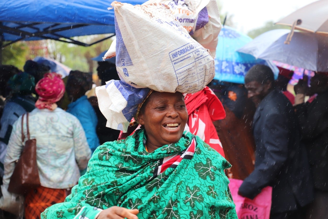
A farmer in Mozambique receives agricultural inputs during the 2023-2024 El Niño
Drought
Rainfall deficits tend to concentrate in Central America's Dry Corridor, parts of southern Africa, Australia and Southeast Asia. FAO estimates around 80% of the direct economic impact of drought in developing countries falls on agriculture, which is why drought is where food security and El Niño meet.
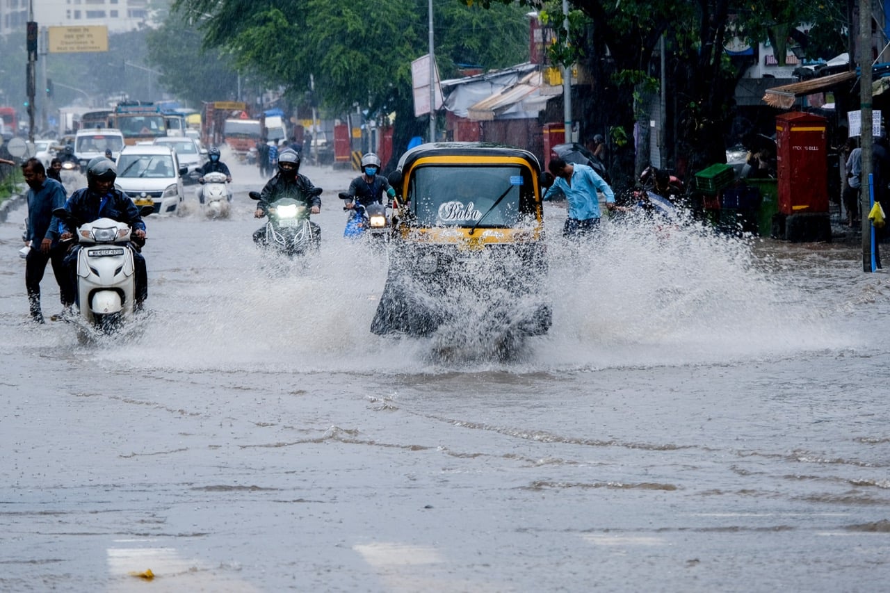
A flooded road in Kurla West, Mumbai, during the monsoon
Flood
Often the mirror image of the drought signal, and sometimes in neighbouring countries. Coastal Ecuador and Peru have seen torrential rainfall during some strong El Niño events, particularly Eastern Pacific ones.
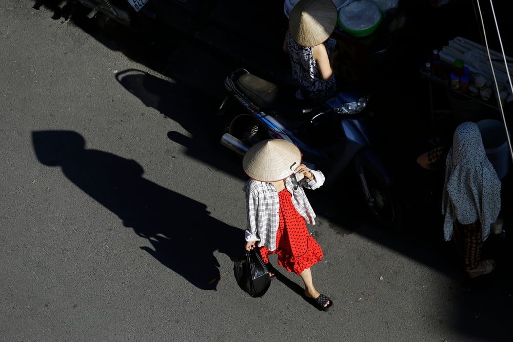
A woman shields herself from the sun on a city street in Vietnam
Heat
El Niño is one of several climate patterns that raise the odds of extreme heat, and El Niño years tend to be hotter globally. The global temperature response lags the peak by several months, so the record-warm year is usually the one after onset.
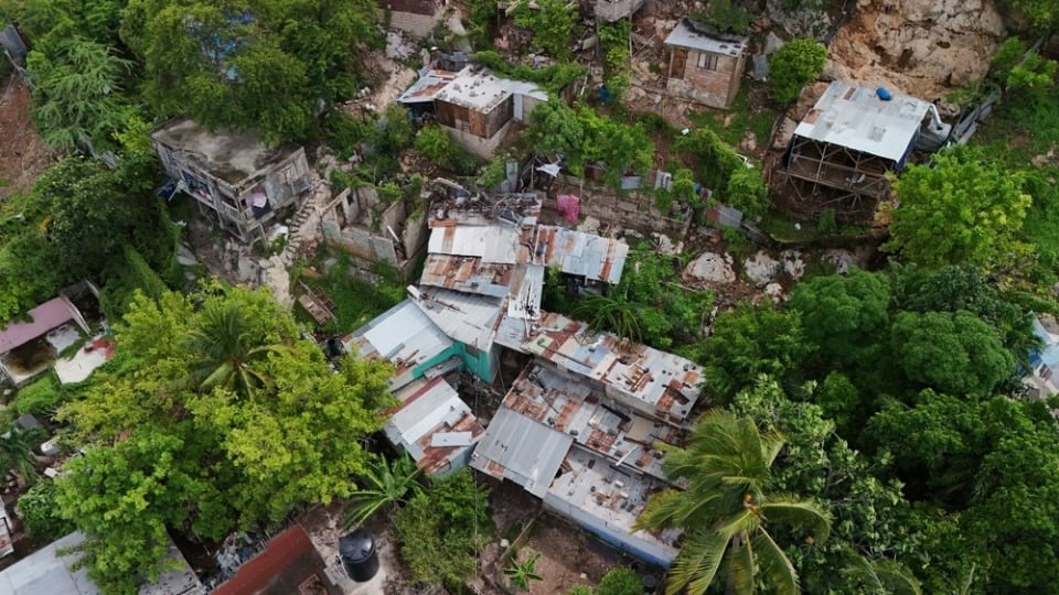
Storm damage in Kingston, Jamaica
Tropical cyclone
El Niño typically suppresses Atlantic hurricane activity while enhancing it in the central and eastern Pacific. The suppression can be overridden: 2023 was hyperactive in the Atlantic despite a strong El Niño. A quieter season is not the same as a safe one.
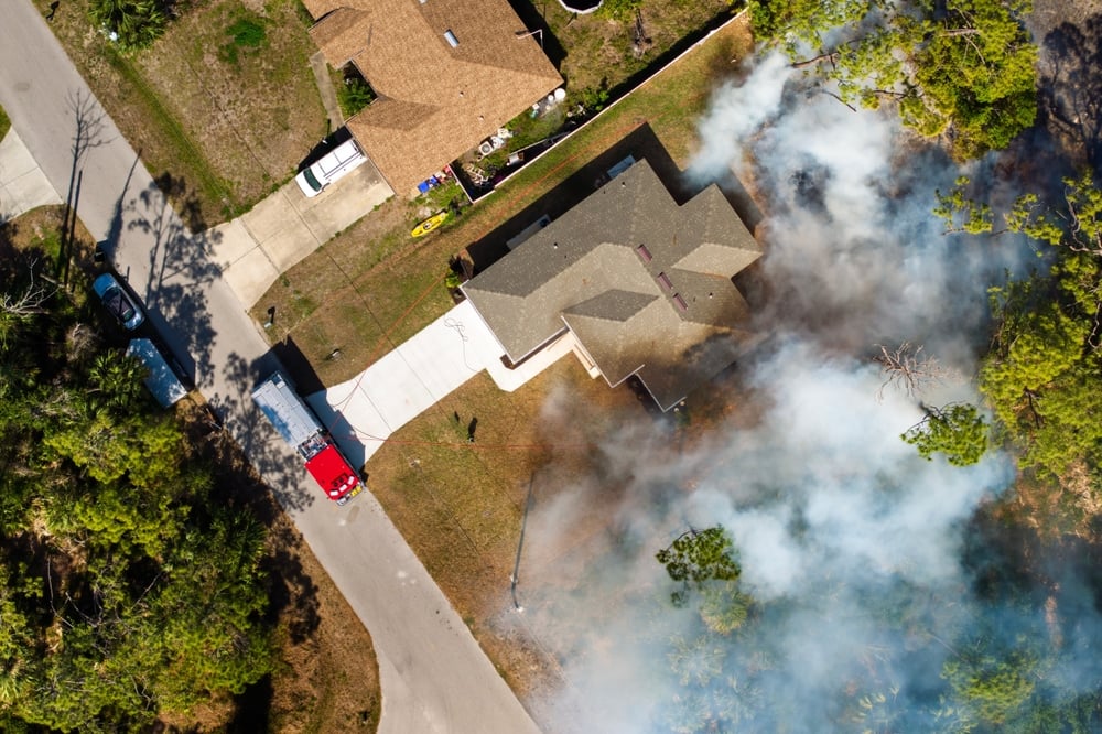
A wildfire burning through forest
Wildfire
Where El Niño brings drought and heat together, fire risk follows. The pattern is documented in Southeast Asia, Amazonia and Australia, where dry seasons have preceded major fire years.
A hospital building in Mumbai
Disease
The link is strongest for Rift Valley fever in East Africa, where outbreaks follow El Niño rainfall, and is documented for dengue, malaria and cholera. Those associations are region-specific and mediated by water and sanitation conditions and health system capacity.
Sunlight on the surface of the open ocean
Ocean, coasts and small islands
El Niño drives basin-wide marine heatwaves and has historically triggered global coral bleaching, though as oceans warm bleaching now occurs without it. Fisheries productivity falls where upwelling is suppressed, and Pacific small island states face water security emergencies.
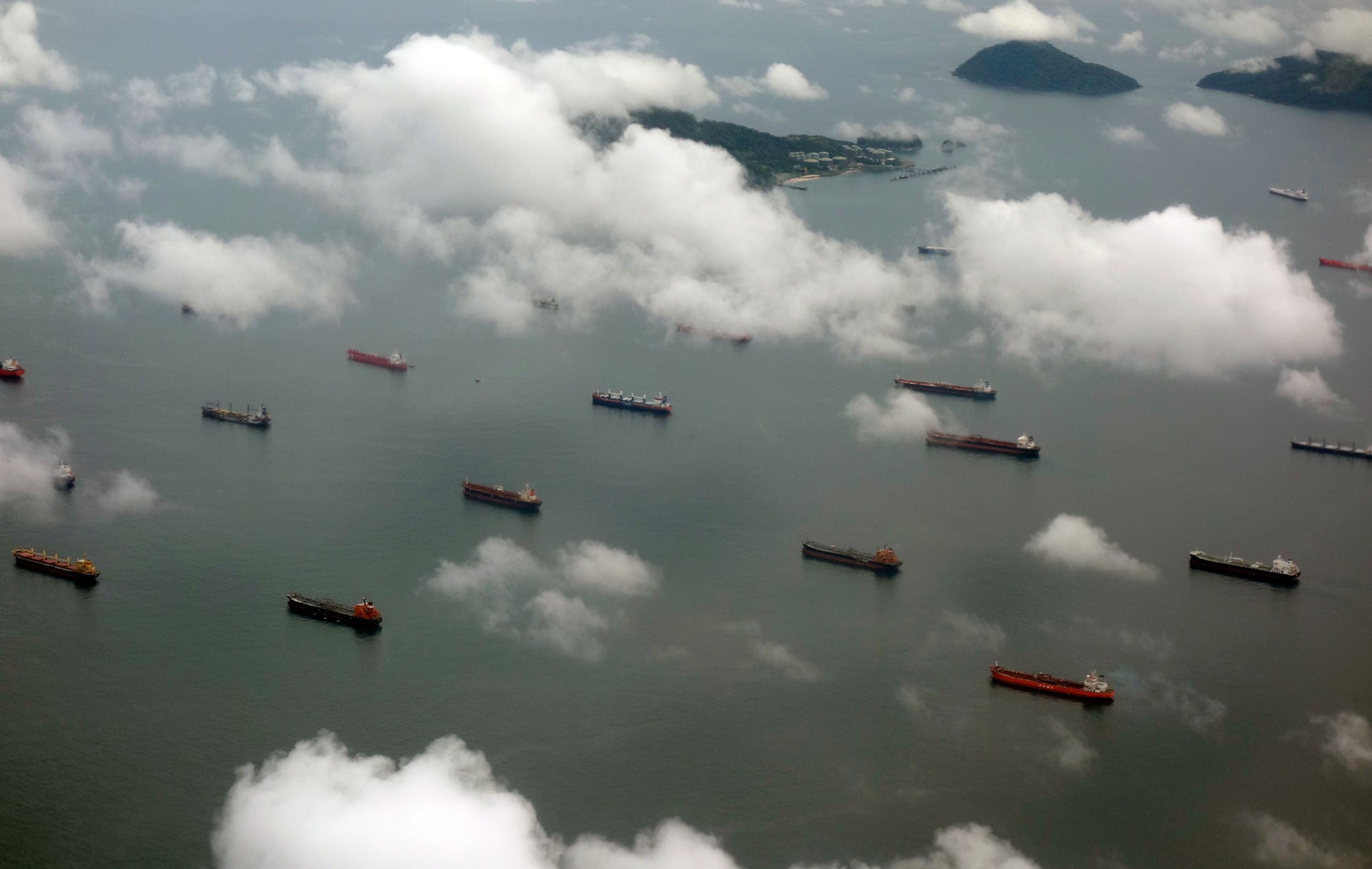
Shipping congestion at the Panama Canal
Cascading and systemic risk
Impacts travel. During the 2023-24 drought, which El Niño intensified, the Panama Canal cut daily transits from 36 to 22 for roughly a year. Hydropower deficits forced rationing elsewhere, and simultaneous crop failures reach people far from any drought.

One caution runs through all of these. Not every drought, flood or fire in an El Niño year is caused by El Niño, and over-attribution is a common error. The climate signal shifts probabilities; what turns a shifted probability into a disaster is exposure and vulnerability.

What past events taught us

Impact is not determined by intensity alone. According to EM-DAT, the 1997-98 event is associated with more than 1,200 deaths in Latin America and the Caribbean, mostly from floods and landslides in the Andean countries. The 2014-16 event affected far more people worldwide, with humanitarian need reaching tens of millions, yet recorded far fewer deaths.

Better anticipation and wider early warning coverage were part of that difference. So was a different hazard mix: 1997-98 mortality was driven by rapid-onset floods and landslides, which kill quickly and are counted precisely, while 2015-16 impacts were dominated by slow-onset drought and food insecurity, where excess mortality is systematically under-recorded. The comparison is instructive, but it is not a clean experiment.

The 2023-24 event tested the same lesson again. Prolonged drought hit the Central American Dry Corridor, Bolivia and Colombia while the coasts of Ecuador and Peru flooded. In the Amazon, the Rio Negro at Manaus fell in October 2023 to its lowest level in more than a century of records, a record broken again the following year.

What happens if El Niño further disrupts the Panama Canal? Video: UNDRR

Kamal Kishore: Eleven lessons in risk governance from the Panama Canal →

UNDRR's position on El Niño

A shift in the Pacific Ocean that raises the odds of drought, flood, heat and fire across large parts of the world. Few risks come with this much warning, and whether that warning is used is as much a matter of governance as of meteorology.

Search the Knowledge Base

Search across PreventionWeb for El Niño and ENSO material. For the curated set, see the ENSO collection.

Climate-economic country risk profile: IndonesiaDocuments and publications
Climate-economic country risk profile: Indonesia
Potsdam Institute for Climate Impact Research
Designing a parametric flood and drought insurance framework for Caribbean farmers and agricultural SMEs: Case studies of Belize and Saint Vincent and the Grenadines thumbnail
Documents and publications

This study develops a meso-level parametric flood and drought insurance model for smallholder farmers and SMEs in Belize and Saint Vincent and the Grenadines, leveraging blockchain to automate payouts, enhance resilience, and strengthen rural livelihoods.

Economic Commission for Latin America and the Caribbean (ECLAC/CEPAL)
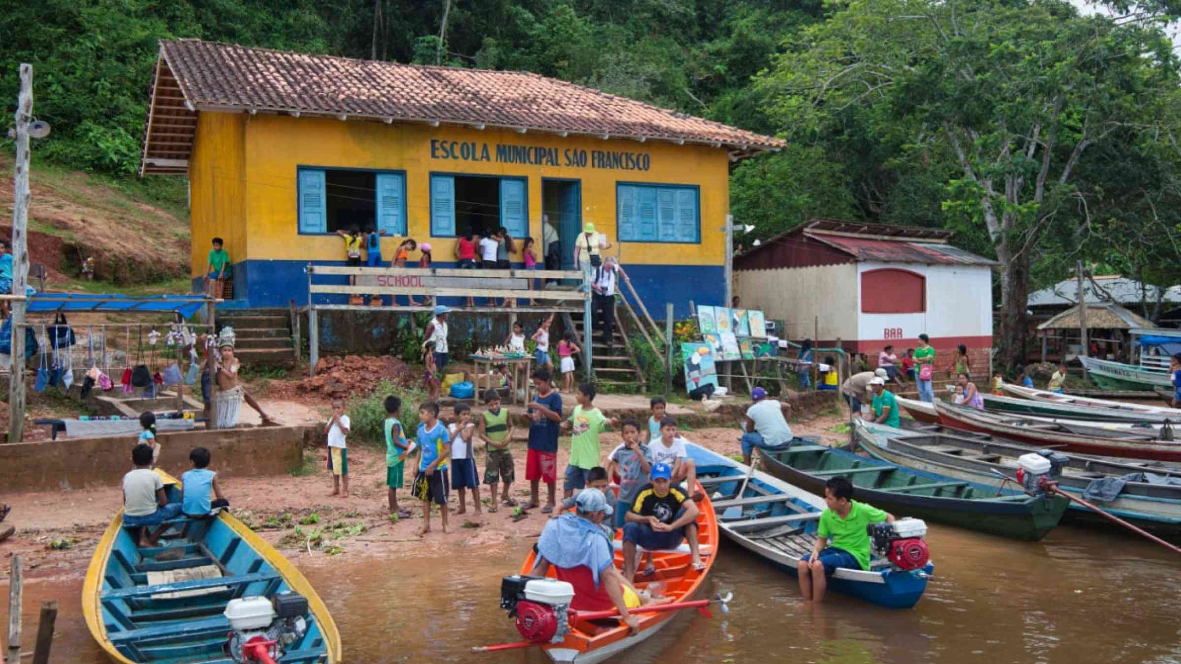
Lots of people and boats and the school at the village of Boca De Valeria on the Amazon River, Amazonas State, Brazil.
Research briefs

El Niño and warming in the tropical Atlantic could help provide advance warning of extreme heat in the Amazon, with some signals appearing as much as seven months earlier, research has found.

ARC Centre of Excellence for Coral Reef Studies
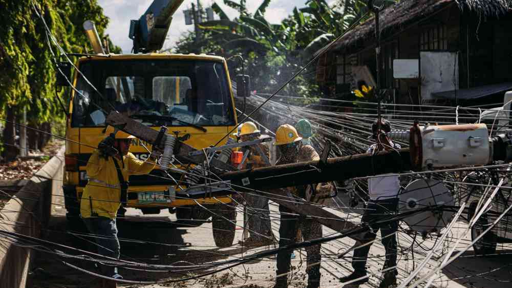
Utility workers repairing fallen power lines in a city street, highlighting teamwork and infrastructure maintenance.
Jessica Mosahari
Pacific SIDS need resilient, interconnected infrastructure and better-aligned climate finance to manage converging risks. The article highlights locally adapted standards, usable risk information, early warnings and coordinated, long-term investment.
Strengthening climate-sensitive health risk management across the Greater Mekong subregion thumbnail
Documents and publications

As health risks sensitive to changes in the climate rise in the Greater Mekong Subregion, this brief outlines the impact of compounding risks and shows how building capacity and reinforcing early warning protocols can strengthen regional resilience.

Asian Development Bank (ADB)
The economic case for nature-based infrastructure thumbnail
Documents and publications

This report assesses 45 nature-based infrastructure projects in 29 countries, finding a median benefit-cost ratio of 3.21 and 38% IRR, and recommends reforms to planning, finance, and policy to elevate NBI alongside traditional infrastructure options.

International Institute for Sustainable Development (IISD)
 Heat early warning system in Bangladesh: Current status and recommendations thumbnail
Documents and publications

This case study examines the current status of Bangladesh’s heat early warning system, outlining how heat risk is understood, monitored, and communicated, and how warnings prompt actions across institutions.

International Federation of Red Cross and Red Crescent Societies (IFRC)
Last updated 6 Oct 2026
While El Niño and La Niña events can drive disaster risk, understanding these phenomena can help inform early warning and boost preparedness efforts.
Las decisiones de hoy marcarán los impactos de El Niño
Update

El Niño conditions have been observed in the tropical Pacific since June 2026, with forecasts indicating further strengthening through the end of 2026 and into early 2027, potentially making it one of the most intense events in decades.

Inter-American Development Bank (IDB)
Irrigation canals in agricultural field
Update

FAO’s benchmark measure of world food commodity prices increased in September, due mostly to transportation disruptions and weather concerns that constrained availability as well as to higher quotations for crop-based commodity groups.

Food and Agriculture Organization of the United Nations (FAO)
Case study
Location: Burundi
Case study on how a post-disaster needs assessment and climate-risk engineering study informed resilient rehabilitation of the Port of Bujumbura after the 2023–2024 El Niño floods.
  • Intra Africa, Caribbean and Pacific (ACP) Disaster Risk Reduction Programme (DRRP)
Case study
Location: Somalia
This case study examines Somalia’s nationally led response to the 2023 Deyr floods, including a Rapid Post-Disaster Needs Assessment, recovery planning, housing policy reform and integration of recovery priorities into national development planning.
  • Intra Africa, Caribbean and Pacific (ACP) Disaster Risk Reduction Programme (DRRP)
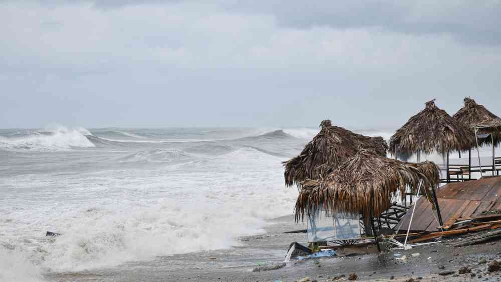
Dramatic waves crash on a Batumi beach with rustic huts under overcast skies.
Update

Days after Tropical Storm Gonzalo flooded parts of Sal, Cabo Verde, institutions and stakeholders from across the early warning chain came together in Praia on 29 September 2026 to validate the country’s national Early Warnings for All roadmap.

World Meteorological Organization (WMO)
People collecting relief supplies in a community outdoor setting in Africa.
Update

With forecasts indicating a high risk of El Niño-related impacts across southern Africa, World Vision Malawi implements anticipatory actions to maintain people’s food security, protect their livelihoods, and support water, sanitation and hygiene measures.

Anticipation Hub
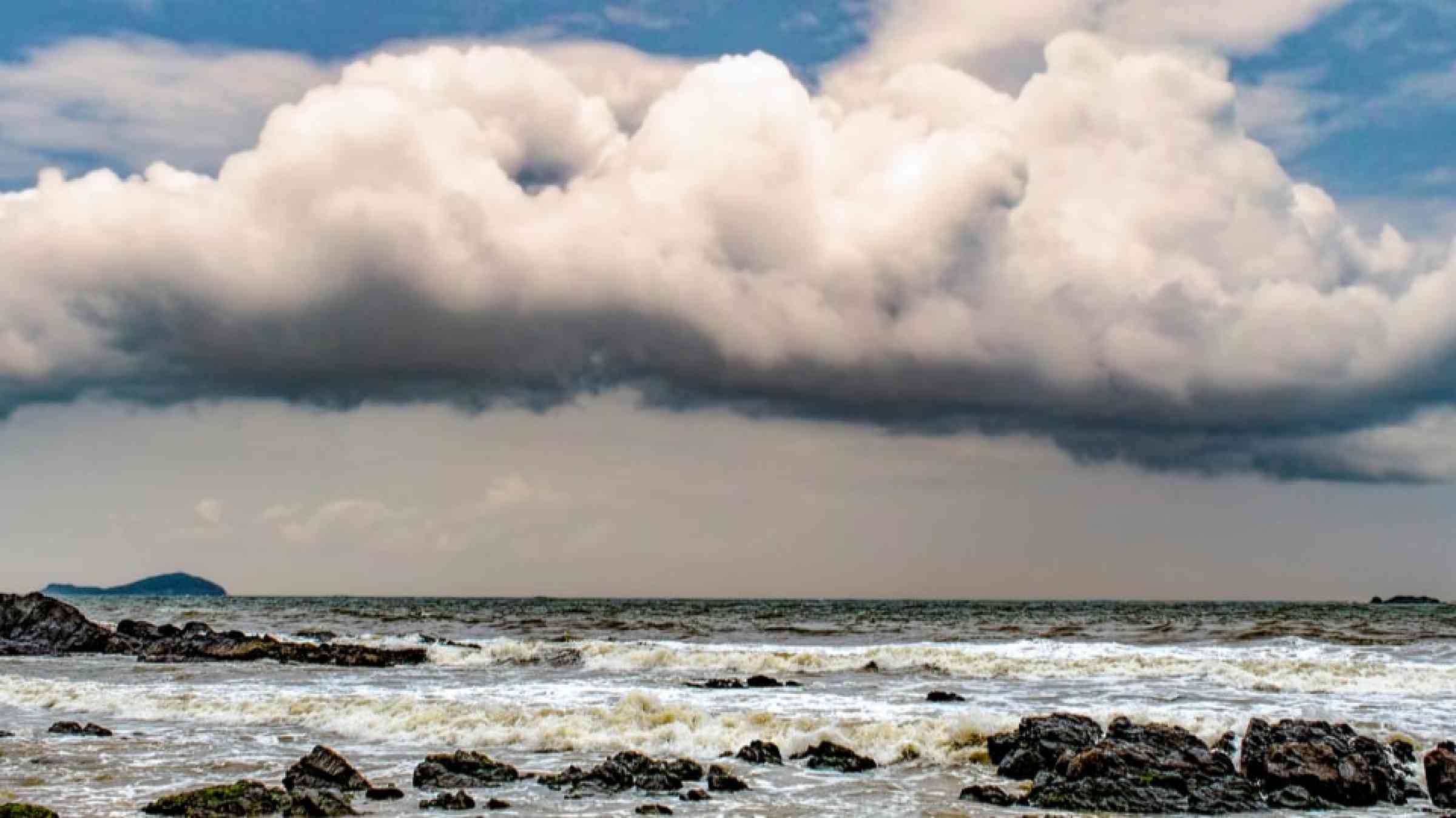
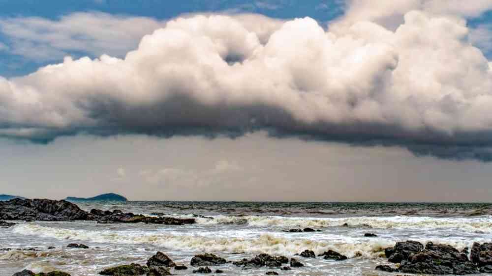
Rain clouds at the coastline
Update

El Niño can reshape weather thousands of miles away, bringing drought to some regions while increasing the risk of heavy rain and flooding in others. To understand why, you need to follow what happens to the Pacific’s warm water – and the air above it.

Conversation Media Group, the
Drone shot capturing the dry, barren landscapes near Halleck, Nevada.
Update

As a record-breaking El Niño continues to grow, climate scientist Daniel Swain explains what may be in store for the next year as we brace for an El Niño “so far above anything we've previously seen, it doesn't even fit on the same axis.”

Inside Climate News
Update

For Australian farmers, frost risk is a growing concern. This is particularly true as the strengthening El Niño threatens to bring increasingly fierce and frequent frosts to farming regions.

Conversation Media Group, the
Parametric insurance for education in Kenya: process evaluation of the Climate Resilient Education Systems Trial (CREST) thumbnail
Documents and publications

This evaluation of IRC's Climate Resilient Education Systems Trial (CREST) pilot in northern Kenya looks at what happens when parametric insurance meets education, and offers practical lessons for others looking to follow.

Centre for Disaster Protection
COMMUNICATING CLIMATE RISK A TOOLKIT thumbnail
Documents and publications

The Toolkit seeks to narrow the gap between climate science and climate action by providing insights, recommendations, and practical tools to support dialogue between scientists, decision-makers, and many diverse communities.

University of Sussex
A striking landscape depicting a drought-stricken lake surrounded by mountain peaks.
Update

The article explores the record-strength 2026 El Niño, its global impacts and links to climate change, while examining how terms such as “super El Niño” shape how scientists, media and the public understand extreme events.

Grist Magazine
Global public health situation analysis El Niño 2026: Implications for public health and early action thumbnail
Documents and publications

WHO’s 2026 situation analysis warns the strong El Niño will bring extreme climate conditions, escalating health threats particularly for the vulnerable, urging early action to anticipate, mitigate, and respond.

World Health Organization (WHO)
Vietnamese woman wears the traditional conical hat, known as Non La, used to shield the face from the hot sun, during an extreme heat wave.
Update

Climate scientists are calling the hotter temperatures resulting from El Niño a “postcard from the future.”

Inside Climate News
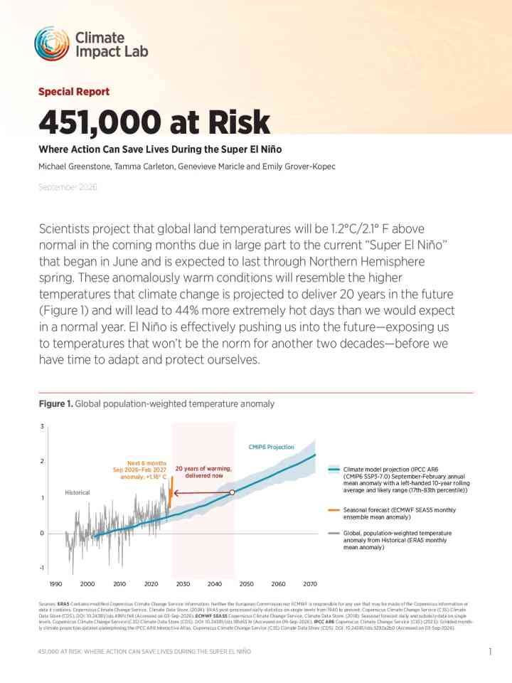
451,000 at risk: Where action can save lives during the Super El Niño thumbnail
Documents and publications

In this report scientists project that global land temperatures will be 1.2°C/2.1° F above normal in the coming months due in large part to the current “Super El Niño” that began in June and is expected to last through Northern Hemisphere spring.

Climate Impact Lab
Integrating AI and earth observation data for disaster risk reduction thumbnail
Documents and publications

This editorial explores how AI, Earth Observation data and cloud platforms support disaster risk reduction, highlighting 25 studies on hazards, risk assessment, early warning, response and recovery, and future directions for responsible AI.

Journal of the Indian Society of Remote Sensing (Springer Nature)
Climate hazard assessment – Kikuube district thumbnail
Documents and publications

This report assesses climate hazards in Uganda’s Kikuube District, finding increasing drought stress, localized flood risk and rising temperatures. It recommends early warning systems, climate-smart agriculture, water management and resilience planning.

Uganda Learning, Evidence, Accountability and Research Network
ARRIVE – Analysis of risk for urban migrants, refugees, and IDPs in vulnerable environments thumbnail
Documents and publications

The study examines how secondary cities and development cooperation can better respond to these challenges, It looks past visible outcomes such as informal settlements and flooding to the underlying practices, capacities and paradigms that produce them.

Deutsche Gesellschaft für Internationale Zusammenarbeit (GIZ)
Update

With the impacts of El Niño drawing ever closer across southern Africa, the Baphalali Eswatini Red Cross Society activated its early action protocol for drought after forecasts predicted below-normal rainfall from October to December.

Anticipation Hub
The compound effect: Heat, water, and the new risk landscape  thumbnail
Documents and publications

This white paper analyzes the growing compound risks of heat and water stress using climate models, industry data, and case studies, urging forward-looking risk integration and investment in water efficiency amid rising global wet-bulb temperatures.

Moody's
El Niño outlook for Asia Pacific 2026–2027: Hazards, vulnerability, and RCRC response thumbnail
Documents and publications

This factsheet, produced by IFRC in July 2026, summarizes expected El Niño impacts across Asia Pacific through 2027 and the preparedness and response activity already underway across the region.

International Federation of Red Cross and Red Crescent Societies (IFRC)
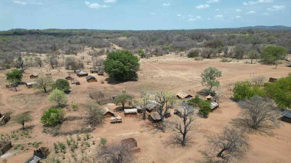
Aerial shot of a rural African village with traditional huts and sparse vegetation.
Update

With southern Africa bracing for a severe El Niño-driven drought, partners in Mozambique’s Mutarara District are acting now to support communities at risk from its expected impacts.

Anticipation Hub
Powerful waves crash against a pier and lighthouse under dark stormy skies.
Update

Heavy rainfall associated with the storm is expected to bring life-threatening flooding and mudslides to coastal communities in southwestern Mexico. The moisture from Hurricane Polo is also increasing the risk of dangerous flooding in the U.S. Southwest.

Climate Central
Climate Hazard Assessment – Kamwenge District thumbnail
Documents and publications

This assessment examines climate hazards in Kamwenge District, highlighting increasing drought, heat and localized flood risks and their implications for refugee and host communities.

Uganda Learning, Evidence, Accountability and Research Network
Climate Hazard Assessment – Terego District thumbnail
Documents and publications

This report analyzes climate hazards and future projections in Terego District, Uganda. It highlights rising heat stress, unpredictable rainfall, seasonal drought, and localized flooding affecting rural host communities and refugee settlements.

Uganda Learning, Evidence, Accountability and Research Network
Climate Hazard Assessment – Obongi District thumbnail
Documents and publications

This report provides a comprehensive spatial analysis of historical climate trends and future projections for Obongi District, Uganda. It evaluates key climate hazards—specifically seasonal droughts and flood susceptibility.

Uganda Learning, Evidence, Accountability and Research Network
Climate Hazard Assessment – Madi Okoll District thumbnail
Documents and publications

This summary presents downscaled climate projections for Madi Okollo District under the SSP2-4.5 moderate emissions scenario, evaluating shift patterns between the historical baseline (1970–2000) and mid-century (2041–2060).

Uganda Learning, Evidence, Accountability and Research Network
Climate Hazard Assessment – Isingiro District thumbnail
Documents and publications

This assessment examines climate hazards in Isingiro District, highlighting increasing heat, seasonal drought and localized flooding and their impacts on refugee and host communities.

Uganda Learning, Evidence, Accountability and Research Network
Climate Hazard Assessment – Lamwo District thumbnail
Documents and publications

The report assesses climate hazards in Uganda's Lamwo District, analyzing historical trends and future projections for seasonal drought and localized flooding.

Uganda Learning, Evidence, Accountability and Research Network
Climate Hazard Assessment – Kyegegwa District thumbnail
Documents and publications

This assessment examines climate hazards in Kyegegwa District, focusing on drought, flooding, rainfall variability and rising temperatures, and their impacts on refugee and host communities.

Uganda Learning, Evidence, Accountability and Research Network
Climate Hazard Assessment – Koboko District thumbnail
Documents and publications

This report evaluates the climate hazard vulnerability of Koboko District, Uganda, a region hosting over 31,000 formal and self-settled refugees near the borders of South Sudan and the Democratic Republic of Congo.

Uganda Learning, Evidence, Accountability and Research Network
Climate Hazard Assessment – Kiryandongo District thumbnail
Documents and publications

This report evaluates climate risks in Kiryandongo District, Uganda, where rising temperatures and erratic rainfall threaten over 165,000 refugees and local host communities.

Uganda Learning, Evidence, Accountability and Research Network
Climate Hazard Assessment – Kikuube District thumbnail
Documents and publications

This report evaluates climate hazards in Uganda's Kikuube District, where rising temperatures and unpredictable rainfall fuel severe seasonal droughts and localized flooding.

Uganda Learning, Evidence, Accountability and Research Network
Climate Hazard Assessment – Yumbe District thumbnail
Documents and publications

This assessment maps drought, heat, and flood risks in Uganda's Yumbe District to help guide climate adaptation and disaster planning for local communities and Bidibidi Refugee Settlement residents.

Uganda Learning, Evidence, Accountability and Research Network
Climate Hazard Assessment – Adjumani District thumbnail
Documents and publications

This climate hazard assessment highlights how rising temperatures, unpredictable rainfall, and recurring seasonal droughts and floods threaten livelihoods and food security for refugee and host communities in Uganda's Adjumani District.

Uganda Learning, Evidence, Accountability and Research Network
Update

This summer in Europe we are witnessing extreme heat for a prolonged period of time. This is a direct product of climate change. In this insight, we assess the impact, both in terms of GDP and wellbeing.

Triodos Bank
Update

Malaysia's Securities Commission plans to ask companies to disclose how they are preparing for El Nino amid concerns the country's businesses may be ill prepared for the fallout from the ​weather phenomenon, chairman Mohammad Faiz Azmi told Reuters.

Thomson Reuters
Update

On September 15, the eruption of Mount Anak Krakatau sent volcanic ash up to 15,000 metres and produced rumbling heard 700 kilometres away. Eight airports suspended operations and thousands of flights were disrupted.

Conversation Media Group, the
Implementation of the Sendai Framework for Disaster Risk Reduction 2015-2030: Report of the Secretary-General thumbnail
UN resolutions and reports

A/81/307

The report has been prepared upon request of the General Assembly in its resolution 80/137 on DRR, providing an overview of progress towards the goal, global targets and priorities for action of the Sendai Framework for Disaster Risk Reduction 2015–2030.

United Nations General Assembly
Building community resilience in a complex setting: opportunities for Papua New Guinea thumbnail
Documents and publications

This report examines opportunities to strengthen community resilience through locally led climate action, with a focus on empowering local governments and communities to address climate risks while improving alignment with national climate priorities.

World Bank, the
State of global water resources 2025 thumbnail
Documents and publications

The WMO State of Global Water Resources Report shows that the water cycle has become more erratic and unpredictable, swinging between too little or too much. The past seven years have seen the fewest rivers with “normal” flows since 1991.

World Meteorological Organization (WMO)
Glaciers Himalaya
Update

The WMO State of Global Water Resources report is a comprehensive science-based annual assessment of the hydrological cycle and extreme events in 2025 and over the past five years.

World Meteorological Organization (WMO)