Results in resilience: improving risk information in Tanzania
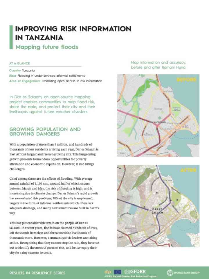
This brief describes Ramani Huria, which is a community-driven mapping project in Dar es Salaam, Tanzania, aimed at reducing flood risk. It trains locals and students to collect and digitize data on infrastructure and flood-prone areas using tools like GPS, drones, and OpenStreetMap.
The project mapped 29 wards for 1.3 million people, identifying 1,254 km of waterways and 3,396 km of roads. It boosted local capacity by training 300 students and many volunteers, helping communities better understand and respond to flood risks through open access to accurate, updated maps.
Explore further
Hazards
Flood
Country and region
Tanzania, United Rep of
Number of pages
2 p.
Publication year
2017