Estimated risk index for multiple hazards in Asia
Title in original language
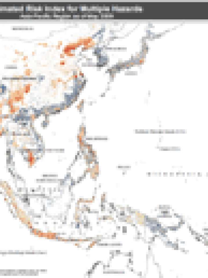
Estimated risk index for multiple hazards - Asia-Pacific region as of June 2011
This map shows the estimate of the global risk induced by multiple hazards (tropical cyclone, earthquake, flood and landslide induced by precipitations) as of June 2011.
The map is based on data provided by UNEP/GRID-Europe, UN Cartographic Section, Global Discovery.
Explore further
Publication year
2011