Please help us improve PreventionWeb by taking this brief survey. Your input will allow us to better serve the needs of the DRR community.
Australia better prepared for drought thanks to Water Information Programme

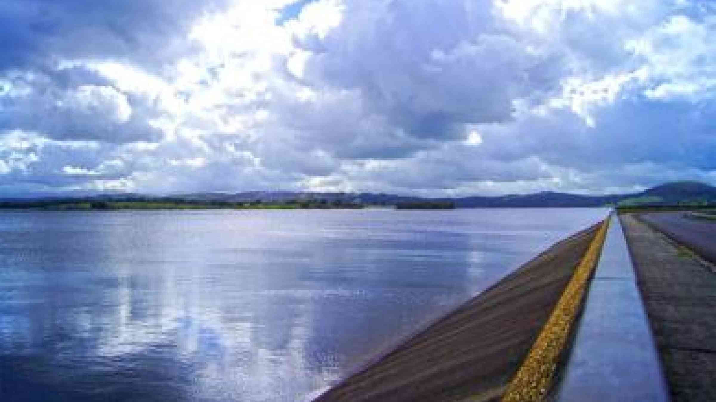
Photo by Flickr user Melbourne Water CC BY 2.0 https://www.flickr.com/photos/melbournewater/10412615103/
As a strengthening El Niño brings drier, warmer weather to Australia, potentially expanding drought affected areas, Bureau of Meteorology Director and CEO Dr Rob Vertessy says the country is better able to anticipate the impacts on water resources thanks to the Australian Government's Improving Water Information Programme.
Speaking during National Water Week, Dr Vertessy explained the national programme was initiated at the peak of the Millennium Drought, following frustration amongst water policy makers due to inadequate information on the state of Australia’s water resources.
Dr Vertessy said: "The Millennium Drought made us acutely aware of how tenuous our water security was. Well into that drought we had a very piecemeal view of how much water was held in storage, present in aquifers, running in rivers and being used in rural areas.
"Furthermore, we had no ability to forecast the volume of water flowing into our reservoirs in the weeks and months ahead, making it even harder to manage our severely diminished water supplies at the time.”
That situation was the catalyst for the creation of the Improving Water Information Programme, founded on the ethos that 'you cannot properly manage what you do not measure'.
Since the start of that programme eight years ago, the Bureau of Meteorology—the lead national organisation for collecting and disseminating water information under the federal Water Act 2007—has released an extensive portfolio of new water information products and services.
The Bureau has been working closely with State water agencies, urban and rural water utilities and research organisations to enhance the availability and value of water information, and to provide a nationally consistent view with weather and climate data provided by the Bureau.
One of the key services coming out of this work is the National Water Account, which documents annual changes in water stores and flows, water rights and water use in Australia’s most significant water supply systems. The recent inclusion of Queensland’s Burdekin region means the account now captures up to 85% of Australia’s water use.
Various online products accessible on the Bureau’s website provide continuous updates on the amount of water held in water storages, on the volume of river flows, on groundwater levels, on water restrictions and on water market activity.
The Bureau now provides valuable insight into what lies ahead too, forecasting river flows for the next seven days at over 100 sites and seasonal streamflow outlooks for over 140 sites across the nation.
"We've come a long way since the Millennium Drought, with much improved situational awareness and foresight regarding our nation’s most valuable natural resource - water.
"The next time Australia approaches a serious water security crisis we won't be flying blind. Our vastly improved water information will mean that governments, businesses and communities are far better prepared and able to action mitigation strategies much sooner and at a lower cost,” Dr Vertessy said.
The Bureau's water information products and services are available on the Bureau's website: http://www.bom.gov.au/water/
Explore further
Please note: Content is displayed as last posted by a PreventionWeb community member or editor. The views expressed therein are not necessarily those of UNDRR, PreventionWeb, or its sponsors. See our terms of use
Is this page useful?
Yes No Report an issue on this pageThank you. If you have 2 minutes, we would benefit from additional feedback (link opens in a new window).