Please help us improve PreventionWeb by taking this brief survey. Your input will allow us to better serve the needs of the DRR community.
Using an integrated urban development and disaster risk management approach to combat climate risks in Nigerien cities
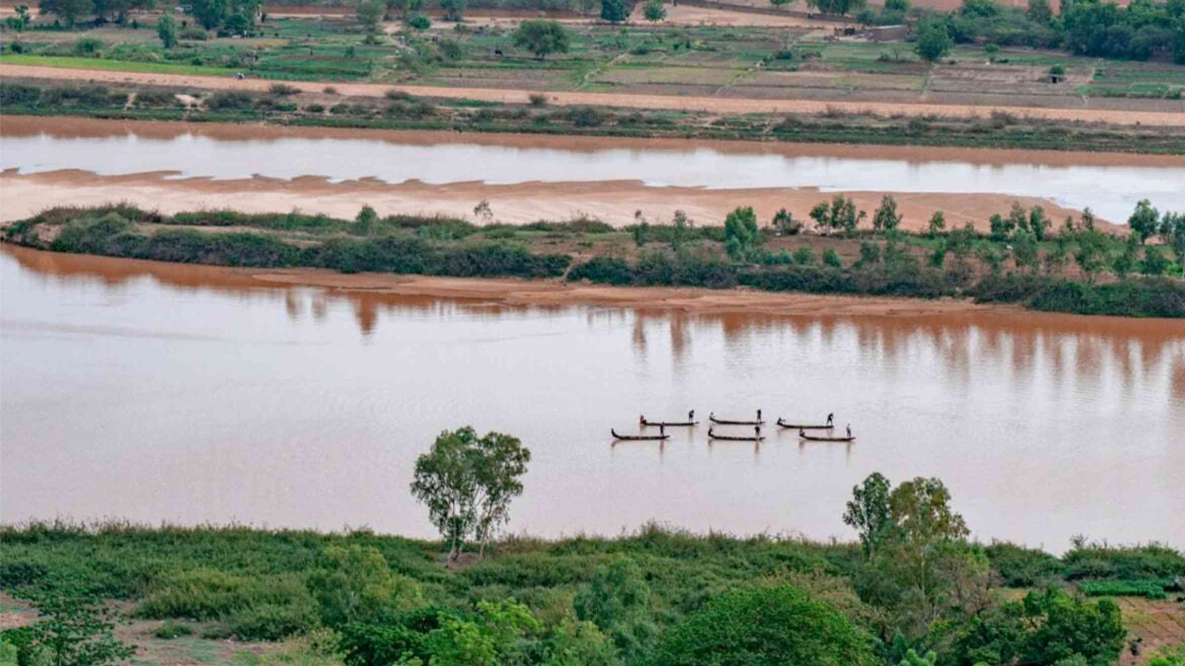
Niger is considered the second most vulnerable country in the world to increasing risks from climate change, such as floods, droughts, and extreme heat, according to the ND-GAIN country index. The frequency and severity of extreme rainfall and flooding events have increased significantly in recent years. In the River Niger basin alone, where 40% of Niger’s population lives and the capital city Niamey is located, an average of 100,000 people are affected by floods every year. Urbanization is expected to increase flood risk due to rapid and unplanned expansion in exposed areas, degradation of watersheds, and the vulnerability of infrastructure. It is estimated that the total number of people residing in urban areas will increase from 3.5 million at present to close to 20 million by 2050 — an average of about 500,000 new dwellers per year.
Given this context, the worst ever flood that Niger experienced in 2020 will unlikely be its last. Extensive river flooding and localized flash floods claimed dozens of lives and affected over 630,000 people in all the country’s regions. Estimated total damages and losses due to the 2020 floods reached nearly $262 million or over 2% of the country’s 2019 gross domestic product (GDP), according to the government’s damage and loss assessment prepared with technical assistance from the World Bank and the Global Facility for Disaster Reduction and Recovery (GFDRR). The crisis put to the test the government of Niger’s efforts over the past decade to build the country’s resilience to flooding.
The World Bank has been supporting Niger’s resilience building efforts through the Disaster Risk Management and Urban Development Project (PGRC-DU) since 2013.
This project includes a combination of enhanced planning capacities for drainage and urban development, flood protection infrastructure, sustainable land, and water management practices in upstream watersheds, and capacity development in early warning, preparedness and response for local and central governments. The Climate Risk and Early Warning System initiative (CREWS), co-led by the World Bank and the World Meteorological Organization, has also supported the strengthening of the early warning systems in the country.
This prior support to emergency preparedness proved critical in the management of the 2020 floods crisis. The Nigerien government established a new Operational Center for Alert Watch and Crisis Management (COVACC) which enabled emergency response and crisis communications activities throughout the country during the crisis. Using data from COVACC, which is equipped with advanced satellite technologies, drones deployed at the peak of the disaster were able to assess the location and extent of the floods. This helped ensure that emergency assistance reached those people and communities which needed it the most. Niger’s new hydrological early warning system, the National Alert Code, enabled the delivery of timely information for the evacuation of vulnerable communities and the management of relief operations for flood victims. The system also facilitated an emergency needs assessment of affected households, led by Niger’s civil protection agency, which subsequently informed relief efforts.
Looking ahead and learning from the devasting 2020 floods, the government of Niger is continuing its partnership with the World Bank and GFDRR to build flood resilience. The recently approved $250 million Niger Integrated Urban Development and Multi-sectoral Resilience Project will address the effects of high flood risk and rapid urban growth through an integrated approach that supports resilient urban development and disaster risk management.
The project aims to increase flood resilience and improve urban management and access to basic services in 25 municipalities, benefiting 3.4 million people.
- improving access to urban infrastructure and basic services including the building of embankments, flood barriers, and drainage systems;
- providing cities with a menu of investment options to address their respective priorities;
- and buffering for floods, droughts and heatwaves through resilient landscapes, nature-based solutions and increasing community-level preparedness and awareness.
It will also support the development of a technical assistance program to build the capacity of municipalities to improve day-to-day urban management and ensure that land use, spatial, and investment plans at the municipal level are informed by climate risk considerations. Worst floods may come, but Niger will be in better shape to face them.
Explore further
Please note: Content is displayed as last posted by a PreventionWeb community member or editor. The views expressed therein are not necessarily those of UNDRR, PreventionWeb, or its sponsors. See our terms of use
Is this page useful?
Yes No Report an issue on this pageThank you. If you have 2 minutes, we would benefit from additional feedback (link opens in a new window).