New landslide reporting tool uses social media and AI
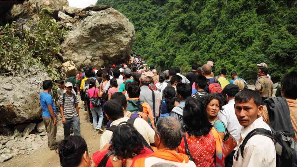
Landslide incidences have been increasing worldwide: Between 2004 and 2016, around 56,000 people were killed in nearly 5,000 distinct events. The time lag between the occurrence and reporting of landslides—sometimes ranging from days to weeks—can affect emergency preparedness and disaster response.
To address this gap, a landslide reporting tool using artificial intelligence (AI) that monitors social media in near-real time has been developed by scientists at the British Geological Survey, European-Mediterranean Seismological Centre, and Qatar Computing Research Institute. Their results were published in the International Journal of Disaster Risk Reduction.
“We realized that there’s information coming in real time on social media within the first few hours of a landslide,” said Catherine Pennington, a geologist at the British Geology Survey and one of the authors. But that information “isn’t getting to people in disaster response, nor to national landslide databases in a timely fashion. So we thought we would build a tool to help with that.”
Augmenting traditional data sources
The tool extracts information from Twitter through keywords such as landslide, landslip, earth slip, mudslide, rockslide, and rock fall. The algorithm then looks for an image attached to the tweet. This step eliminates a lot of noise on social media, such as tweets on landslide victories when there’s an election, Pennington explained.
The team used machine learning to train the tool to identify landslides in photographs. For this, the geologists independently carried out an assessment of 11,737 images and manually marked each one as landslide or not a landslide.
The resulting artificial intelligence tool can detect landslide reports with an accuracy of 76%. The tool is currently up and running and is intended to be used for disaster management, landslide research, climate change analysis, and global and national database studies.
Jonathan Paul, a lecturer in Earth science at the University of London, said that “crowdsourcing data from social media certainly has potential to enhance resilience against landslide events by enriching the existing observational database.”
“The data is relatively easy to interpret,” he explained, “but tend to be qualitative (blog posts and photos), so incorporating this information could be a challenge.” Paul was not involved in the new study.
Rescue workers search through the rubble of a shrine in central Iraq after a landslide killed at least four people ⤵️
— Al Jazeera English (@AJEnglish) August 22, 2022
— in pictures https://t.co/ayMYhpPYvm pic.twitter.com/IIETAmTG4m
Pennington acknowledged the challenge and said that the tool does not replace satellite interpretation or specialists on the ground. Instead, she said, the tool supports these methodologies. “Someone might tweet about a landslide in monsoon or when there’s an earthquake,” she explained. “That could be used as a flagging system to allow the satellite data to focus on more quickly.”
Caroline Juang, a researcher at Columbia University who was not involved in the research, agreed that the social media monitoring tool could supplement more traditional forms of data. Juang, who helped develop a citizen science repository for landslides, said that satellite data could get accurate spatial information about a landslide, for instance, but the date the landslide occurred could be missing.
“The AI,” she said, “can find a social media post about a landslide the day it happened in order to augment the satellite information and also find posts about landslides too small to be seen from space.”
Sustained need for human interpretation
“Social media–based monitoring can be helpful as a first step to identify landslides occurring in remote regions,” said Roxy Koll, a climate scientist at the Indian Institute of Tropical Meteorology who was not involved in the new study. “Over time, the incidences can be quantified and studied for their links to heavy rainfall events and land use changes.”
As climate change accelerates, extreme rainfall and landslide events are increasing across the globe, Koll noted, and the new tool’s ability to link rainfall and land use patterns will help identify environmental hot spots that need urgent attention in terms of climate action, environmental protection, and monitoring and forecasting.
Paul said that social media allows citizens to take the lead role in this identification of environmental hot spots. “The greatest-impact projects involving social media,” he said, “are those that actively engage participants, by showing them how their contributions have decreased landslide risk in their immediate area.”
A landslide prediction system in the Western Ghats in India, for instance, developed as a crowdsourced science effort using social media.
The new AI tool is still in its first iteration, and the team is inviting users to give feedback through a form provided on the site. In the future, users will be able to filter by date, country, and even district. “The most useful section is the time and the geolocation, which is a big step forward placing information on the map automatically based on information in a tweet,” Pennington explained.
Paul agreed, but added a caveat: “The variety and utility of different aspects of social media, such as geotagged photos and high-resolution videos, will only increase with time,” he said, but the data could be skewed toward regions that have a higher distribution of social media users such as cities in the Global North.
Building a landslide data set from social media will need to consider these biases, said Juang. “Despite improvements in automation, there may still be challenges and a need for human intervention for cleaning up the large data set generated from social media posts.”