1. Home
  2. Knowledge Base | PreventionWeb
  3. Hazards

Landslide

Landslide is the downslope movement of soil, rock and organic materials under the effects of gravity, which occurs when the gravitational driving forces exceed the frictional resistance of the material resisting on the slope. Landslides could be terrestrial or submarine (Varnes, 1978).

Landslides can be triggered by geological and physical causes such as glacier or snow melts, heavy rains and water pressure, earthquakes, volcanic eruptions and overly steep slopes. Landslides can also be triggered by human action, the most common being building on unstable slopes. Submarine landslides, or massive slides and rock falls hitting the sea can also cause tsunamis.

Landslides can reach speeds of over 50 km/h and can bury, crush or carry away people, objects and buildings. Landslides cannot be predicted but warning systems measuring rainfall levels can provide warning to people living in landslide-prone areas.

Instrumental monitoring to detect movement and the rate of movement can be implemented, for example, extensometers, global positioning system (GPS), seismometers, aerial photography, satellite images, LiDaR (Highland and Bobrowsky, 2008), with varying degrees of success. Increasingly, the science of landslide physics is allowing the nature of these hazards to be understood, which is leading to better techniques through which they can be managed and mitigated (HIP).

Risk factors

  • Population growth
  • Rapid urbanisation
  • Environmental degradation (deforestation and inappropriate use of lands and slopes)
  • High population density, heavy rainfall and rapid land use changes increase the instability of slopes

Risk reduction measures

  • Early warning systems to observe and alert before landslides happen
  • Hazard maps to identify landslides risk and vulnerabilities
  • Integrate landslide risk assessment into urban planning strategies
  • Building codes and standards for materials that reinforce landslide resilience
  • Improve drainage, building tunnels and trenches to stabilise slopes
  • Protect forest cover and regulate logging
  • Raise awareness of landslide risk
  • Regular drills and community evacuation exercises
  • Establish national, regional, and local evacuation plans
Latest Land Slide additions in the Knowledge Base

Uploaded on
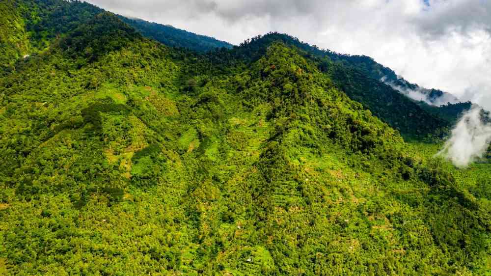
Forested mountain slopes, Banten, Indonesia
Update

Homeowners, councils, and state governments looking to build houses and infrastructure on or near slopes should reconsider cutting down trees or using artificial slope reinforcement to buttress vertical terrain against landslides and slips.

University of Sydney
Women conduct a disaster risk assessment in a rural village in Lao PDR.
Update

The Gender Action Plan to support implementation of the Sendai Framework for Disaster Risk Reduction 2015-2030 (Sendai GAP) has been launched on 18 March 2024.

United Nations Office for Disaster Risk Reduction (UNDRR)
Cover
Documents and publications

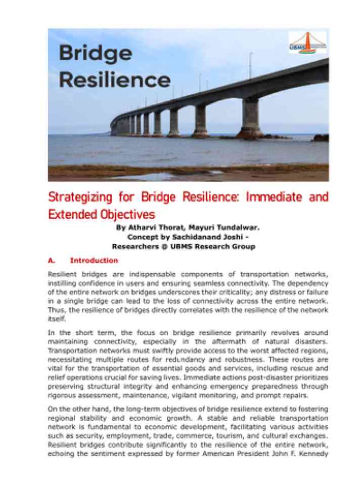
Resilient bridges are indispensable components of transportation networks, instilling confidence in users and ensuring seamless connectivity.

UBMS Research Group (URG)
Update

The U.S. Geological Survey (USGS) recently invested in a geologic mapping project throughout Puerto Rico using airborne hyperspectral imaging to chart surface geologies essential to natural hazards resilience.

United States Geological Survey (USGS)
Cover
Documents and publications

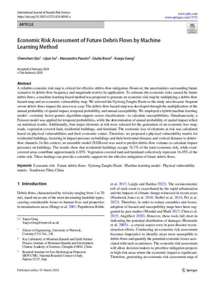
To estimate the economic risks caused by future debris flows, a machine learning-based method was proposed to generate an economic risk map by multiplying a debris-flow hazard map and an economic vulnerability map.

International Journal of Disaster Risk Science
Research briefs

A recent paper in Engineering Geology describes how heavy rainfall triggered >40 m of movement in a landslide that had been reactivated by a dam.

Eos - AGU
Landslide on the way from Hapao village in Banaue province in the Philippines, affecting the road taken by a bus
Research briefs

Researchers from several countries collaborated to assess to what extent human-induced climate change altered the likelihood and intensity of the weather conditions at the time of the most impactful floods in Mindanao Island.

World Weather Attribution
NH
Documents and publications

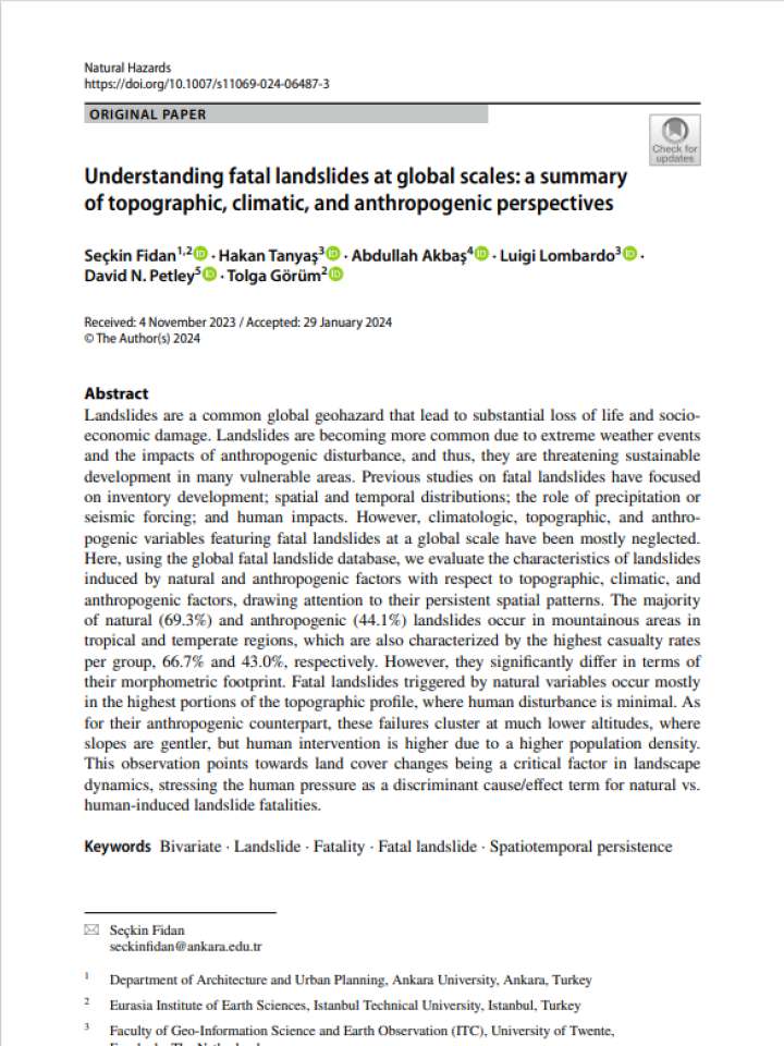
This observation points towards land cover changes being a critical factor in landscape dynamics, stressing the human pressure as a discriminant cause/effect term for natural vs. human-induced landslide fatalities.

Natural Hazards (Springer)
Uploaded on