The editors of a new book describe the benefits of systematic collection, storage, analysis, and sharing of damage data after flood events.
By Daniela Molinari, Scira Menoni, and Francesco Ballioon
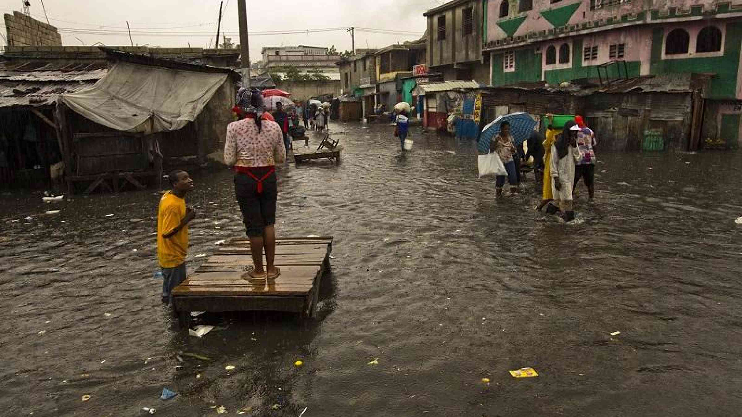
The past decade has seen increasingly severe floods across the world which have caused widespread damage to life, property and economic resources. Data on the spatial extent and cost of damage can help, not only in the immediate aftermath of a food, but also in the longer term to mitigate future risk through effective planning and preparedness. A new book entitled Flood Damage Survey and Assessment: New Insights from Research and Practice, just published by the American Geophysical Union, presents a compilation of real world examples and best practices in the collection, storage, analysis and sharing of flood damage data at different spatial scales from global to national and regional. Here, the editors answer some questions about research and practice in this field.
What kind of information can be collected after a flood event in order to assess damage?
Several types of information are useful to build a picture of the impacts of a flood event. First it is important to collect data on the physical characteristics of the flood, such as the extent of the flooded area, the spatial distribution of water depth and velocity, and the concentration of sediments and contaminants.
Next it is essential to gather information on damage both due to the direct contact of flood water and due to systemic connections with the flood.
All features susceptible to damage – such as residences and businesses, farms and crops, people and livestock, infrastructure and public services, cultural and environmental heritage – are known as “exposed assets.”
How can this information be used?
Damage data collected in the aftermath of a disastrous event can support a variety of actions. During the emergency stage and immediate aftermath, the information can help to identify priorities for intervention. Later it can be used to define the victims who will benefit from compensation schemes. In terms of learning from the disaster and planning for the future, the information can be used to create a complete event scenario to understand the fragility of the location and tailor risk mitigation strategies. It also helps with the definition of damage models to feed cost-benefit analysis of structural and non-structural mitigation actions, including insurance schemes.
What are the challenges to collecting good quality data?
Damage data collection is not mandatory and standards do not exist for its collection. Neither are there are common guidelines for the effective use of damage data for risk mitigation objectives. As a consequence, damage data are scarce and incomplete (not all the useful information described above is necessarily collected). Data are also not usually comparable between locations because they are collected at different scales and according to different formats, not only depending on the country in which the event occurs, but they also may vary from event to event even in the same country.
What tools or approaches would improve the collection of such data?
The variety of exposed assets and possible strategies for flood risk management calls for an interdisciplinary approach in damage assessment including expertise ranging from hydrology and engineering, to spatial planning, economics and law. Only strong cooperation between scientists and practitioners can assure that all relevant information is collected. However, it is not always easy to get people from different backgrounds with diverse interests to coordinate and work together effectively.
Consistency is necessary if data are to be used to compare situations, and is possible to achieve despite differences in spatial scale or juridical context by centralizing the collection or by adhering to agreed formats. More difficult to achieve is securing the commitment of many stakeholders, particularly but not only those from the private sector, to agree to exchange and share damage data with others.
Meanwhile recent developments in information technology – from satellite imagery to social media – have been changing and improving the ways in which damage data is collected, stored, shared and accessed. In particular, the ability to collect “big data” is an interesting tool with future potential.