US: Scientists peer into heart of hurricanes to improve intensity forecast
By Jon Herskovitz
[...]
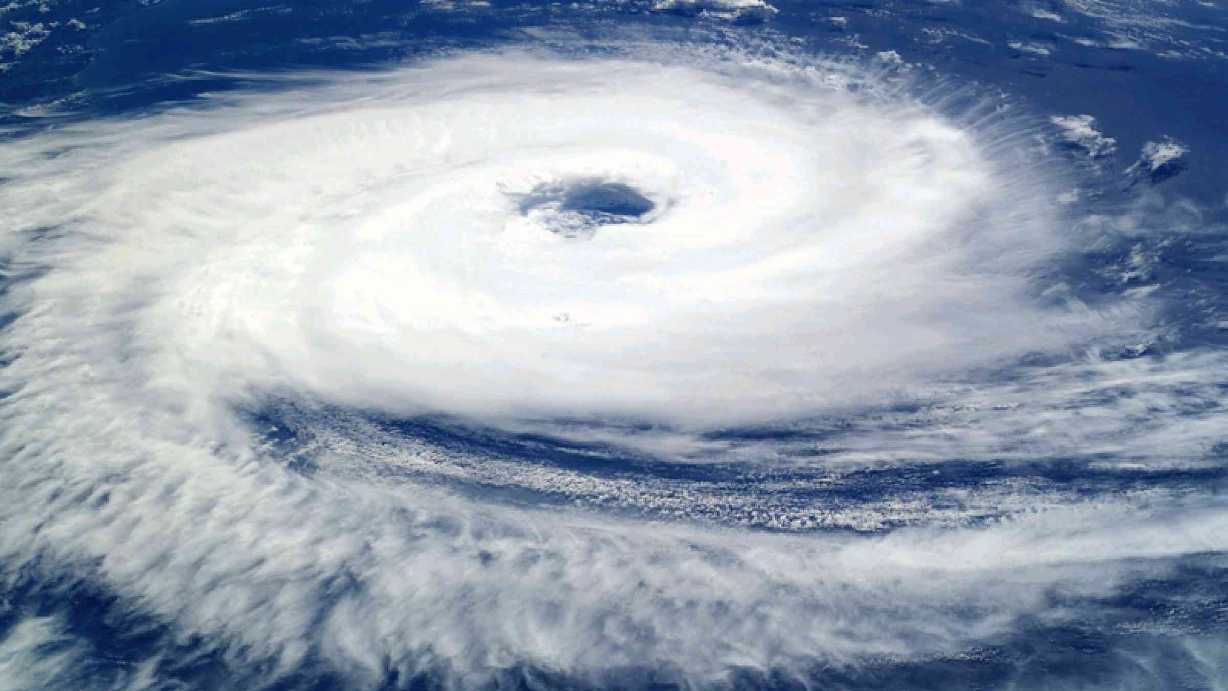
While the science of tracking a storm relies heavily on data about conditions on its periphery, predicting intensity relies on finding where its energy is coming from by measuring what is happening in the middle of it.
Typically, that means flying a hurricane hunter aircraft inside the storm, measuring wind speeds from a weather buoy as a storm passes overhead or relying on satellites that may fly over once every other day.
One project to obtain more data to predict intensity is the Cyclone Global Navigation Satellite System or CYGNSS for short, a constellation of eight low-orbit satellites launched by NASA in 2016.
Previous satellites, which flew over relatively infrequently, had trouble measuring ocean surface winds at the center of storms, with their signals often being degraded by heavy rain at the core, NASA said.
“For storms that are changing really quickly, you could miss something like rapid intensification,” said Christopher Ruf, principal investigator for CYGNSS and a climate science professor at the University of Michigan.
CYGNSS was designed to measure surface winds in and near the inner core of tropical systems, including regions that could not previously be measured from space. With more satellites passing over more often, and being in a position closer to the storms, it offers more real-time data to be plugged into intensity models, researchers said.
[...]