Scientists use new method to recalculate Malawi’s seismic risk
The seismic hazard of a region is typically estimated using information about past earthquakes gleaned from seismographs — instruments that measure the earth’s shaking. However, in regions lacking instrumental records of historical earthquakes, key details of past shaking events are often missed, including the probable locations of earthquakes, earthquake magnitudes and how often earthquakes occur. Paleoseismology techniques — using proxies like offset rivers or soil layers to decipher past seismic events — can address these challenges. But such techniques are also limited because they require certain settings to be recorded and preserved. Moreover, such paleoseismic studies are resource intensive and expensive, and the results can still carry large uncertainties.
In some seismically active places, scientists have neither instrumental nor paleoseismological records. That’s the case in southern Malawi, near the southern end of the East African Rift where Earth’s forces are pulling the African Plate apart. To derive the region’s seismic hazard, researchers have developed a novel approach that combines geologic information with data collected by satellites, called geodetic data. In the new study, published in the journal Solid Earth, Jack Williams of Cardiff University in the United Kingdom and colleagues from the UK and Malawi use these datasets to map and describe active faults in Malawi, leading to new estimates of seismic hazards.
Slow rifting, low slip rates
According to Williams, the team first used digital elevation models, geological maps, geophysical datasets, and fieldwork to identify southern Malawi’s active faults. The faults were then mapped and compiled into a fault database. This southern Malawi-focused database can give scientists clues about where earthquakes might occur, says Williams. However, the details about any future earthquake — like magnitude or how often future quakes might occur — are less obvious. To get that information, scientists must use paleoseismology and examine the relationship between fault length and earthquake magnitude for other faults in the region. In other words, they need some knowledge of past earthquakes.
Instead of resource-heavy paleoseismic studies, Williams says, the research team wanted to try a different approach to understanding these fault systems. They first assessed previously published geodetic data— which measure the movement between GPS stations positioned around Malawi — to see how fast the East African Rift is extending. These data showed that in southern Malawi, this rift is tearing apart at a rate of about 1 millimeter (0.04 inches) per year.
However, that rate did not tell the researchers about how much each individual fault moves. For that, the team turned to past studies that have constrained how movement is partitioned across individual faults within the East African Rift. Those studies showed that typically, between 50 and 90 percent of the 1-mm-per-year regional strain rate — and therefore earthquake potential — was concentrated on border faults at the edge of the rift basins. Border faults of rift valleys are large — between 50 and 100 kilometers (about 30 to 60 miles) long — and could potentially produce large earthquakes between magnitude 6.5 and 7.8, says Williams.
The team then created two new databases to provide a framework for using geological and geodetic information to characterize seismic hazard in regions with few direct slip rate measurements: the South African Active Fault Database (SMAFD) and the South Malawi Seismogenic Source Database (SMSSD).
In the SMAFD, the team documented 23 active faults that have contributed to East African rifting in southern Malawi. Williams and his team estimated fault slip rates, earthquake magnitudes and recurrence intervals for these faults, and input that information into the SMSSD. Using the slow extension rates (1 mm per year) observed in the region as an indicator of how fast a fault might be moving, the team calculated the fault slip rates to be around 0.05 to 1 mm per year. Finally, based on the relationship between fault length, movement, and slip rate, they calculated that the recurrence intervals of magnitude-7 events are likely between 1,000 and 50,000 years.
“Our approach is pragmatic about working with the data we have to get an idea of the slip rates without relying on expensive methods,” says Williams.
Seismic risk to the region
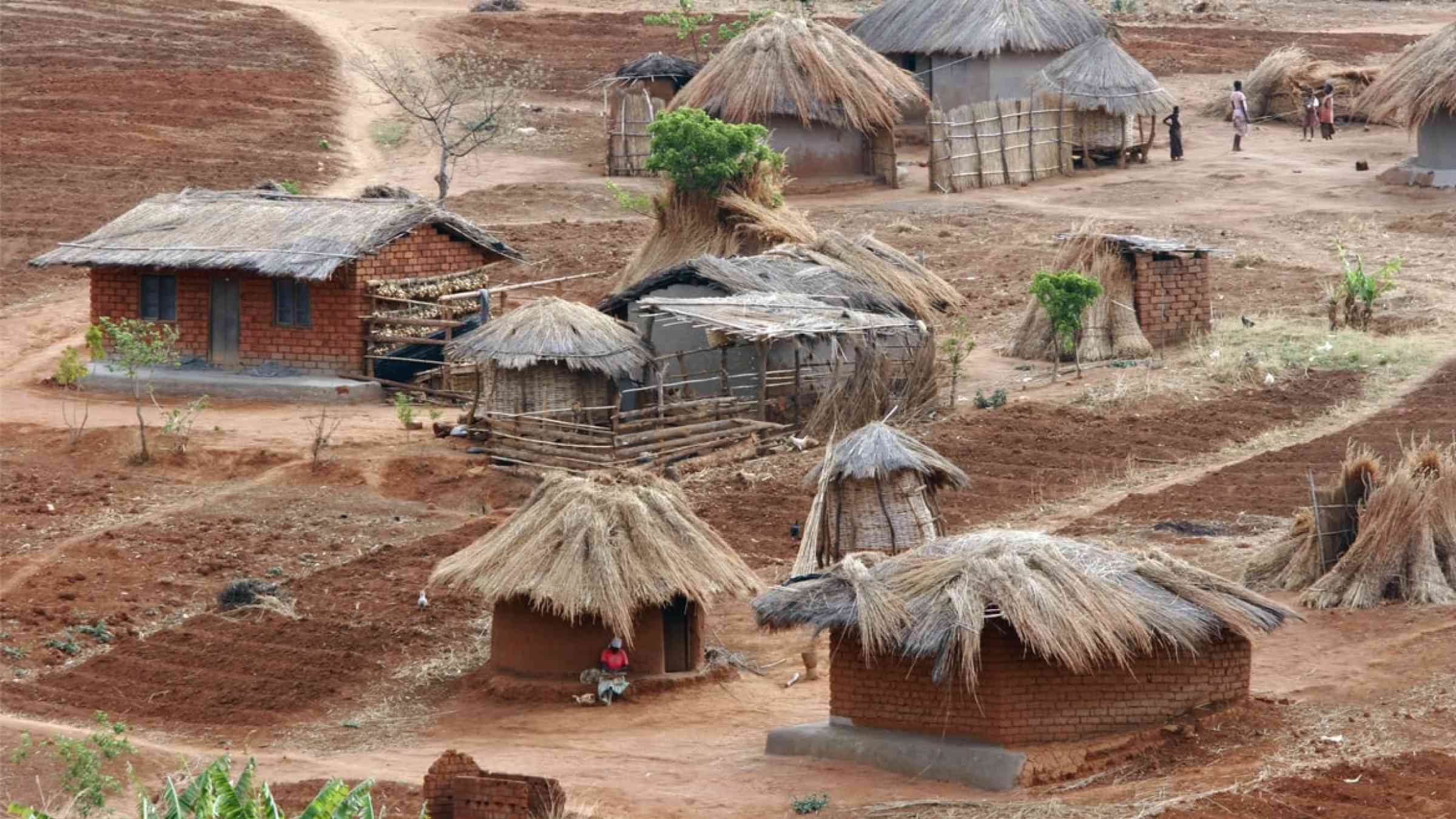
These results have major implications for those living in southern Malawi and, more generally, East Africa, says Williams. As southern Malawi is experiencing rapid population growth and urbanization, the seismically vulnerable building infrastructure poses a problem. Having an updated seismic hazard estimate is important for the wellbeing of residents.
As the population in countries that include the East African Rift continues to rise, Williams says that “the seismic hazard is not going up, but the seismic risk is going up in terms of exposure to that hazard. … We need to start being able to more adequately capture the risk.” For example, he says, the rapidly growing city of Blantyre, Malawi, which sits close to both the Zomba and Thyolo faults, is particularly imperiled simply because so many people live near two active faults. That said, these seismic hazard levels will be lower than areas like California, for example, where fault slip rates are much higher, he says.
To mitigate some of this risk and increase awareness, says Williams, “we work keenly with collaborators in Malawi.” The team has held workshops with local partners focused on assessing earthquake risk and they are developing a mobile app that assesses seismic vulnerability, especially in schools, he says. “It is based on a similar project in Nepal where you build up a database of the seismic vulnerability of schools to better decide which to prioritize for seismic retrofitting,” he explains.
According to Katsu Goda, a civil engineer at Western University in London, Ontario, Canada, who was not involved in this study, the approach developed in the paper is different from other seismic hazard estimation models, which typically use global seismic data rather than regional geodetic information. Using global datasets makes it difficult to determine seismic risk estimates for a single region, as the estimate won’t be specific to that region, Goda says. When researchers instead use region-specific data and faults for hazard estimation, they can forecast the specific, local impacts these faults will have. Goda notes that this research has implications in the civil engineering realm as well. For example, Malawi hosts several dams for both electricity and agricultural use. “So, if the infrastructure is close to those faults, we must be more alert about the potential seismic [risk].”
Ongoing seismic hazard work
According to Williams, the research team plans to continue mapping faults to extend the database so that it covers all of Malawi. Active faults not visible at the surface pose a challenge, says Williams. The researchers are looking for ways to find and include those hidden faults in their database.
Along with including more faults in the region, the team hopes to develop a probabilistic seismic hazard map for Malawi, which is a map that shows the likelihood of seismic hazards occurring in a particular area. With such a hazard map, the researchers hope to provide a clearer picture of where seismic activity, and thus seismic risk, is distributed across the region.