Indonesia: 'mapping and risk-reduction programs needed' researchers from LIPI
Source(s):
Jakarta Post, the
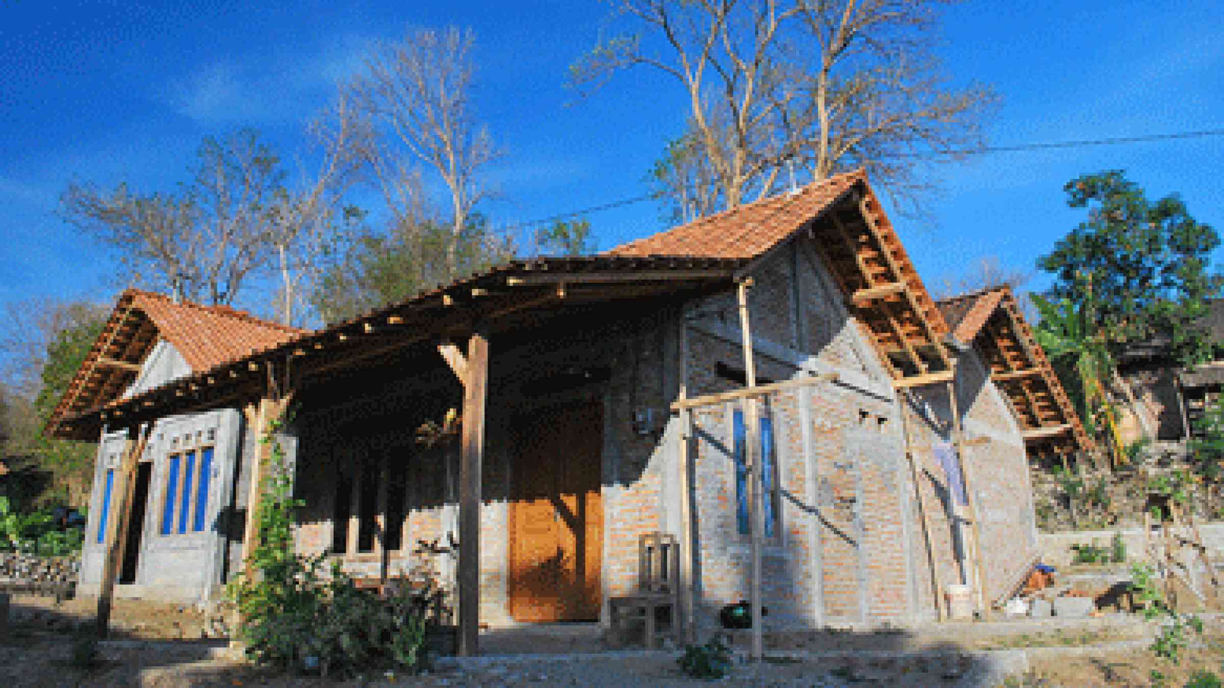
A house designed to meet technical specifications to reduce risks from earthquakes, photo by World Bank, CC BY-NC-ND 2.0, https://www.flickr.com/photos/worldbank/6468542757
Researchers from Indonesian Institute of Sciences (LIPI) said there is a need for topography mapping and risk-reduction programs to avoid high victim counts during natural disasters.
Researcher Nugroho Dwi Hananto of the Indonesian Institute of Sciences (LIPI) said the government could prepare for the impact of tsunami-triggering earthquakes should it have a map of the sea basin, especially in the southern part of Java Island, the country’s most populated region.
“This could help mitigation efforts as the research is based on data directly collected from the site and not from a satellite or land station,” said Nugroho, who has been researching sea basin earthquakes, to The Jakarta Post.
Explore further
Country and region
Indonesia