1. Home
  2. Knowledge Base | PreventionWeb
  3. Hazards

Landslide

Landslide is the downslope movement of soil, rock and organic materials under the effects of gravity, which occurs when the gravitational driving forces exceed the frictional resistance of the material resisting on the slope. Landslides could be terrestrial or submarine (Varnes, 1978).

Landslides can be triggered by geological and physical causes such as glacier or snow melts, heavy rains and water pressure, earthquakes, volcanic eruptions and overly steep slopes. Landslides can also be triggered by human action, the most common being building on unstable slopes. Submarine landslides, or massive slides and rock falls hitting the sea can also cause tsunamis.

Landslides can reach speeds of over 50 km/h and can bury, crush or carry away people, objects and buildings. Landslides cannot be predicted but warning systems measuring rainfall levels can provide warning to people living in landslide-prone areas.

Instrumental monitoring to detect movement and the rate of movement can be implemented, for example, extensometers, global positioning system (GPS), seismometers, aerial photography, satellite images, LiDaR (Highland and Bobrowsky, 2008), with varying degrees of success. Increasingly, the science of landslide physics is allowing the nature of these hazards to be understood, which is leading to better techniques through which they can be managed and mitigated (HIP).

Risk factors

  • Population growth
  • Rapid urbanisation
  • Environmental degradation (deforestation and inappropriate use of lands and slopes)
  • High population density, heavy rainfall and rapid land use changes increase the instability of slopes

Risk reduction measures

  • Early warning systems to observe and alert before landslides happen
  • Hazard maps to identify landslides risk and vulnerabilities
  • Integrate landslide risk assessment into urban planning strategies
  • Building codes and standards for materials that reinforce landslide resilience
  • Improve drainage, building tunnels and trenches to stabilise slopes
  • Protect forest cover and regulate logging
  • Raise awareness of landslide risk
  • Regular drills and community evacuation exercises
  • Establish national, regional, and local evacuation plans
Latest Land Slide additions in the Knowledge Base

Uploaded on
Cover
Documents and publications

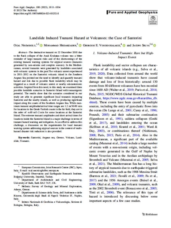
In this study the scientists examined three possible landslide scenarios in Santorini Island with tsunamigenic potential. In the Mediterranean, several tsunamis were generated by landslides associated with volcanic systems in the past.

Springer
Update

It is projected that 1.25 million citizens will be affected by monsoon this year. According to a study by the National Disaster Risk Reduction and Management Authority, an estimated 1.298 million individuals from 286,998 households will be affected

Republica, Nepal Republic Media Private Limited
Cover
Documents and publications

In this Perspective, the authors characterize the market for landslide insurance prior to and following the 2015 Alaska landslide and describe four approaches that stakeholders might consider to make landslide coverage more available.

RAND Corporation
Malawi Cyclone Freddy PDNA
Documents and publications

The Malawi 2023 Tropical Cyclone Freddy Post-Disaster Needs Assessment report assesses the impacts of the disaster and provides recommendations for building back better in recovery and reconstruction.

Malawi - government
World Bank, the
United Nations Development Programme (UNDP)
Ms. Kazuko Kohri, Mayor of Sendai City, spoke at the Multi-stakeholder Panel 4 “A collective responsibility – Localising disaster risk reduction, restoring context”
Update

Ms. Kazuko Kohri, Mayor of the Sendai City, participated at the Multi-stakeholder Panel 4 “A collective responsibility – Localising DRR, restoring context” held on 19th May 2023.

International Research Institute of Disaster Science, Tohoku University 東北大学 災害科学国際研究所
仙台市(宮城県) Sendai City
Urban garden planting in Mexico City
Update

Planting vetiver grass in tropical regions is a cheap and simple way to prevent soil erosion, capture carbon dioxide and detoxify the soil, with this nature-based solution already in use for decades in India and now becoming increasingly popular elsewhere

Mongabay
Update

Following severe flooding and landslides that hit major parts of Rwanda earlier this month, experts are convinced that investing in the mapping of erosion risk areas could go a long way to keeping the number of casualties down.

Inter Press Service International Association
Update

Residents of the tiny Swiss village of Brienz have been told to pack their bags and leave immediately.

British Broadcasting Corporation (BBC)
Uploaded on