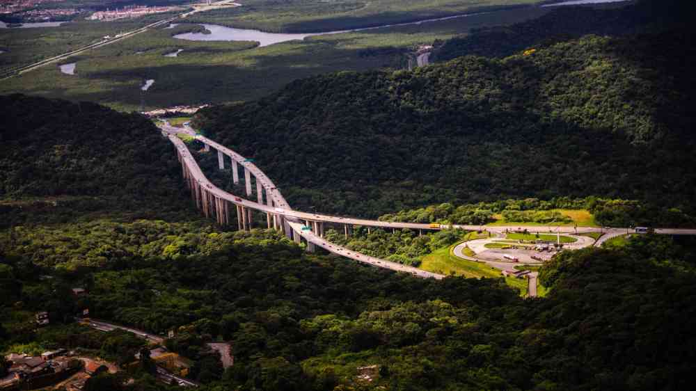
Land subsidence
Subsidence is a lowering or collapse of the ground, caused by various factors, including groundwater lowering, sub-surface mining or tunnelling, consolidation, sinkholes, or changes in moisture content in expansive soils.
Shrink-swell is the term applied to the behaviour of expansive soils, which are a group of soils that exhibit volumetric change in response to changes in moisture content, such that they shrink in response to desiccation and swell by hydration, resulting in ground subsidence and ground heave respectively (BGS, 2020).
This hazard category also covers hazards such as:
- Sinkhole: A sinkhole is a closed depression in karst (a landscape resulting from the dissolution of soluble rock) by current or palaeo internal drainage, also known as a doline. This is one of several hazards that result in subsidence, i.e., lowering or collapse of the ground (adapted from USGS, no date; and BGS, no date).
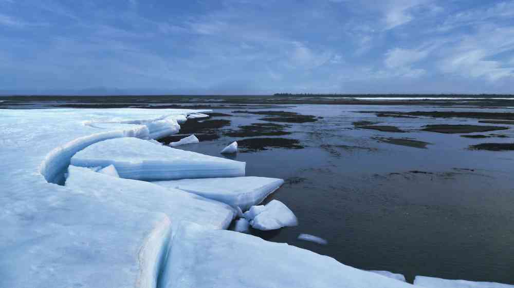
- Permafrost loss: Permafrost is defined as the ground that remains frozen under 0°C for a minimum of two consecutive years. Permafrost loss, also known as permafrost thaw is the progressive loss of ground ice in permafrost, usually due to input of heat. Thaw can occur over decades to centuries over the entire depth of permafrost ground, with impacts occurring while thaw progresses.
Risk drivers and reduction measures
Beneath the depth of influence of atmospheric change in moisture content, the water demand of vegetation, particularly trees on clay soils dominates the moisture content changes that lead to the soils shrinking (subsidence) and swelling (heave). Where subsidence and heave occur beneath or close to properties and infrastructure this can result in damage (Florida Department of Environmental Protection, 2020). The most obvious way in which expansive soils can damage foundations is by uplift as they swell with moisture increases. Swelling soils lift up and crack lightly-loaded, continuous strip footings, and frequently cause distress in floor slabs. Uplift is commonly differential, reflecting the different resisting forces across the structural foundations.
The extensive distribution of these soils across the world has necessitated characterisation through index testing to inform remedial measures. At its simplest, the plasticity indices are utilised to define inorganic clays with inherent swelling capacity (e.g., BRE, 1993). Expansion of soils can also be measured in the laboratory directly, by immersing a remolded soil sample and measuring its volume change or using LiDAR techniques (Hobbs et al., 2014).
The best way to avoid damage from expansive soils is to extend building foundations beneath the zone of water content fluctuation as modified to reflect the presence of vegetation (Rogers et al., no date).