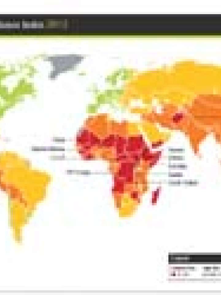
Socio-economic resilience index 2013
Title in original language
Socio-economic resilience index 2013 map
Source
This map is part of the Natural Hazards Risk Atlas 2013, which has been developed by Maplecroft to help organisations assess and compare natural hazards risks across 197 countries. It includes 29 risk indices and interactive maps that measure physical exposure to 12 different natural hazards, in addition to calculating overall economic exposure and socio-economic resilience to large events. The natural hazard categories include Tropical Storm and Cyclones (including Hurricanes and Typhoons); Extra-tropical Cyclones; Severe Storms; Storm Surges; Landslides; Floods; Droughts; Wildfires; Earthquakes and Tsunamis.
Explore further
Publication year
2013