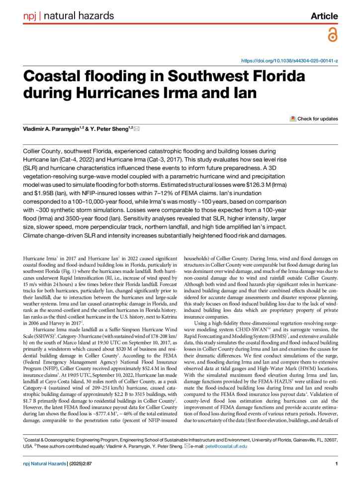
Coastal flooding in Southwest Florida during Hurricanes Irma and Ian
This study evaluates how sea level rise (SLR) and hurricane characteristics influenced Hurricane Ian (Cat-4, 2022) and Hurricane Irma (Cat-3, 2017), to inform future preparedness. A 3D vegetation-resolving surge-wave model coupled with a parametric hurricane wind and precipitation model was used to simulate flooding for both storms.
Estimated structural losses were $126.3 M (Irma) and $1.95B (Ian), with NFIP (National Flood Insurance Program)-insured losses within 7–12% of FEMA (Federal Emergency Management Agency) claims. Ian’s inundation corresponded to a 100–10,000-year flood, while Irma’s was mostly ~100 years, based on comparison with ~300 synthetic storm simulations. Losses were comparable to those expected from a 100-year flood (Irma) and 3500-year flood (Ian). Sensitivity analyses revealed that SLR, higher intensity, larger size, slower speed, more perpendicular track, northern landfall, and high tide amplified Ian’s impact. Climate change-driven SLR and intensity increases substantially heightened flood risk and damages.
Explore further