By Katherine Kornei
The Fujiwhara effect—complex interactions between large storms nearby each other—can steer hurricanes and tropical storms but doesn’t typically create colossal tempests.
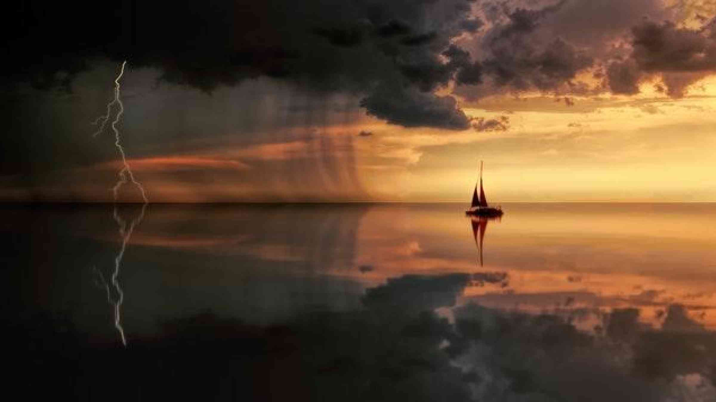
It’s the stuff of meteorologists’ nightmares: two or more large storms merging to create a colossal tempest. Fortunately, it’s more fiction than fact. When Hurricane Laura and Tropical Storm Marco passed near one another in the Gulf of Mexico earlier this month, they interacted only weakly, if at all, scientists agreed.
Fluid Dynamics on a Grand Scale
Two or more spinning storms that make a close pass can experience the Fujiwhara effect. Originally proposed by Sakuhei Fujiwhara, a Japanese meteorologist, this effect refers to the interactions experienced by vortices moving through a fluid.
But contrary to sensationalistic headlines, the Fujiwhara effect rarely creates monster storms. That’s because storms in the same hemisphere rotate in the same direction, meaning that when two storms encounter one another, the winds involved in the interaction tend to be blowing opposite each other. “It’s mostly a canceling effect,” said Jacob Carstens, a meteorologist at Florida State University who created this animation to demonstrate the physics of the Fujiwhara effect.
Rather than birthing supersized storms, the Fujiwhara effect most often alters storms’ paths. But predicting how a tempest will change its trajectory is complicated, said Carstens, because storm–storm interactions depend on, among other parameters, the storms’ sizes, intensities, and relative locations. “It’s kind of hard to figure out which way one will get steered relative to the other,” said Carstens.
A Rare Coexistence
Earlier this week, Hurricane Laura and Tropical Storm Marco entered the Gulf of Mexico. At their closest approach, the two storms were separated by only about 1,100 kilometers. That’s a close pass, said Yuei-An Liou, an atmospheric scientist at National Central University in Taiwan, and a rare occurrence. It’s the first time since 1933 that two active storms have coexisted in the Gulf of Mexico, said Liou. “This is a very unique scenario.”
Liou and Ravi Shankar Pandey, also an atmospheric scientist at National Central University, studied how Hurricane Laura and Tropical Storm Marco interacted. They estimated that Laura lost energy and that Marco’s wind speed increased as a result. The interaction was likely weak, however, the researchers suggested.
That makes sense, said Brian McNoldy, an atmospheric scientist at the University of Miami’s Rosenstiel School of Marine and Atmospheric Science, because Tropical Storm Marco had already diminished in strength. “Marco was so small and weak at that point that I doubt there was any meaningful interaction, if at all,” said McNoldy.
Understanding how storms interact will be ever more critical in the future, said Liou. That’s because intense storms are becoming more commonplace, bringing with them increased potential for destruction. Improving forecasts can help mitigate risks to coastal regions, which is the ultimate goal of research, said Liou. “As scientists, we want to do something meaningful.”