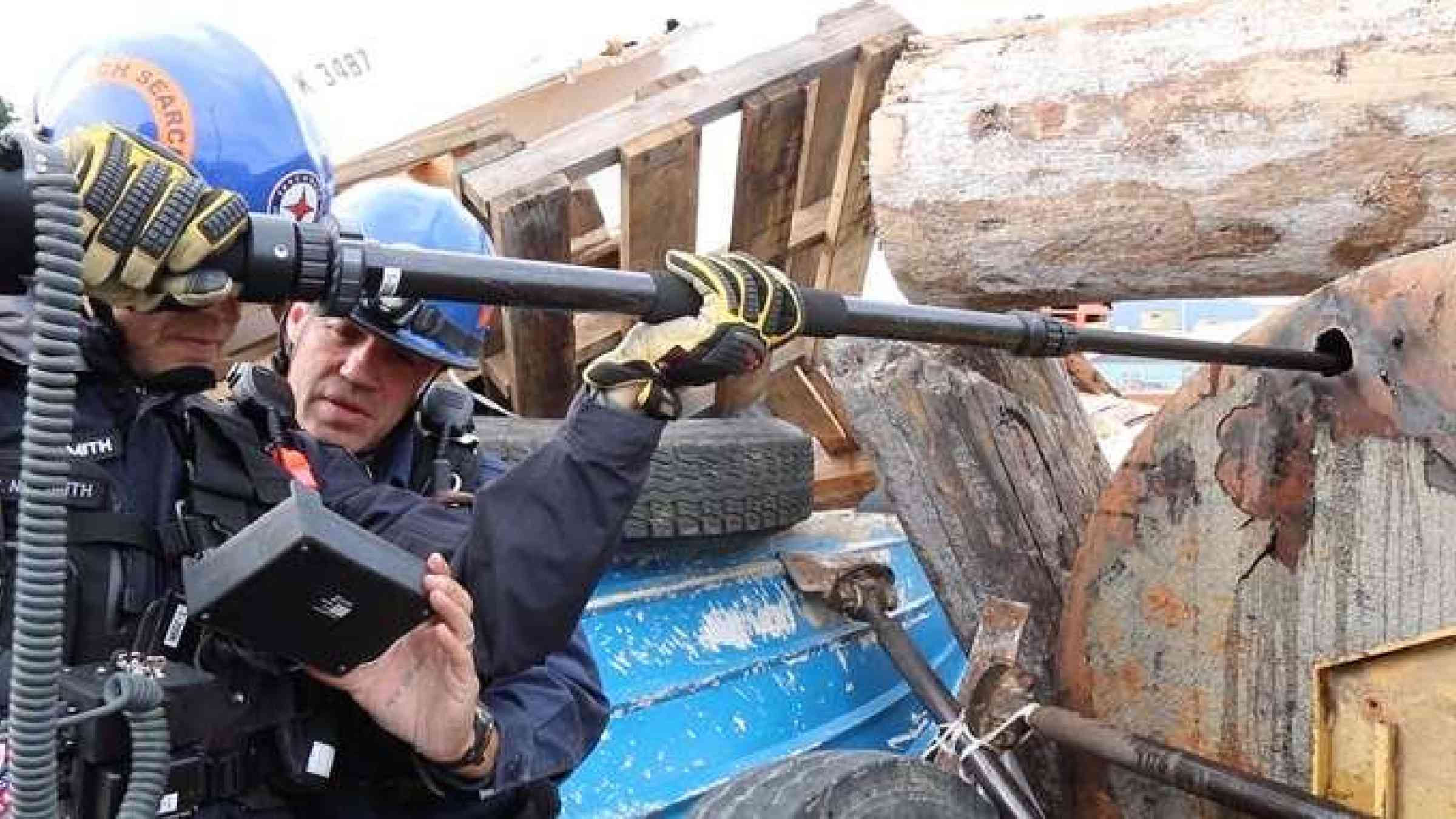
Exercise Coastal Response is Western Canada’s first, full-scale earthquake and tsunami response exercise. It is a test of the BC Immediate Response Plan that outlines the steps that the province and its partners will undertake in the immediate aftermath of a massive earthquake. The goal is to exercise elements of the IRP and strengthen relationships among and across partners and stakeholders to enhance operational coordination.
From June 7-10, 2016, Exercise Coastal Response includes real-time and simulated activities involving functions such as emergency operations, logistics, medical care, public information, operational communications, and care for the needs of those affected or displaced.
The earthquake scenario is based on a magnitude 9.0 earthquake resulting from a rupture of the Cascadia Subduction Zone off the coast of southwestern B.C. with strong shaking lasting several minutes would occur in areas of Greater Vancouver, Greater Victoria and central Vancouver Island, causing some destruction in the major urban centres and widespread damage in the Alberni-Clayoquot Regional District. The earthquake scenario would also generate a tsunami on the west coast of Vancouver Island minutes after the initial shock.
This page will be updated daily with the latest information. You can also follow the action on Twitter with the hashtag #CoastalResponse (twitter.com) and in our Flickr photo album (flickr.com) .
Some notes on the exercise:
**The information below has been created for Exercise Coastal Response and does not depict a real event. This is also not a simulation of what may happen in the event of an earthquake and tsunami, and it has not been validated by science as what may happen. The map has been created to help guide our emergency programs through this exercise.
Tuesday June 7
- 7:45am - 9.0 magnitude earthquake in the Pacific Northwest
- Waves head toward Vancouver Island
- 8:15am - First earthquake generated tsunamiwaves strike Tofino on west coast of Vancouver Island
- 8:30am - Waves head up the inlet and reach Port Alberni with a wave height of up to 20m
- 8:40am - Waves travel through Juan De Fuca Strait to Victoria and reach Sidney 10 minutes later
- 9:00am - Waves reach across the Strait of Georgia to Vancouver
- 9:40am - Waves wrap around the island and reach Nanaimo
This map gives an indication of the areas that may be most affected in the event of a 20m wave like the tsunami in the simulation.