1. Home
  2. Knowledge Base | PreventionWeb
  3. Themes

Earth Observation

Earth Observation (EO) is the process of gathering information about the Earth’s surface, waters and atmosphere via ground-based, airborne and/or satellite remote sensing platforms.

This theme includes the use of space-based and aerial technologies such as satellite communications, remote sensing and drones to improve disaster management and collect data for disaster risk reduction (DRR).

Latest Earth Observation additions in the Knowledge Base

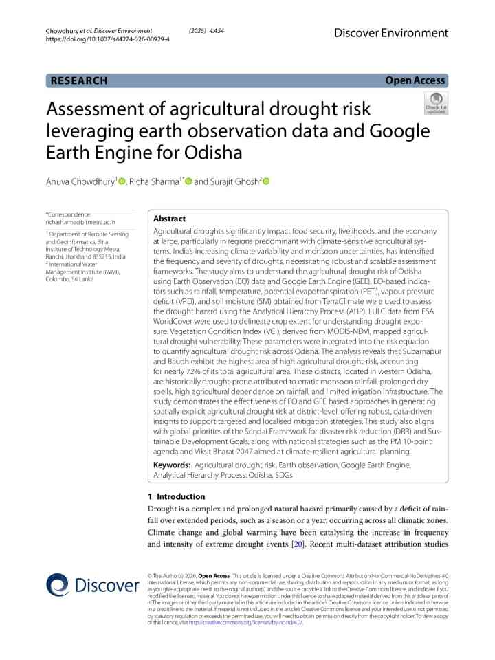
Assessment of agricultural drought risk leveraging earth observation data and Google Earth Engine for Odisha thumbnail
Documents and publications

This study uses Earth Observation data and Google Earth Engine to assess agricultural drought risk across Odisha, India. Results identify western districts as highest risk and support targeted drought mitigation, planning and climate resilience actions.

Springer Nature
Research briefs

New research shows the most destructive tsunami from Tonga’s 2022 Hunga eruption was triggered by caldera collapse, not an explosion. The collapse generated detectable underwater sound waves that could help provide earlier warnings of volcanic tsunamis.

Conversation Media Group, the
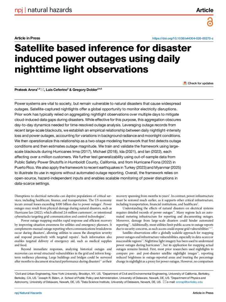
Global rapid assessment of earthquake rupture and shaking thumbnail
Documents and publications

A globally scalable framework combines dense-array seismic observations, rupture imaging and shaking models to estimate earthquake impacts within minutes of origin time.

npj Natural Hazards (Nature)
Update

A team analyzed radar data from European Space Agency’s Sentinel-1 satellites acquired between 8 January and 18 August. The last observation was only seven days before the disaster. Images revealed accelerated glacier-rock movement before the collapse.

Nature International journal of science
Illustration concept representing big data
Last updated 31 Aug 2026
Discover artificial intelligence and machine learning applications ranging from early warning systems to evacuation models, as well as other intriguing disaster risk reduction innovations.
Update

Scientists used seismic data, satellite imagery and drone surveys to rapidly identify a massive landslide as the cause of the deadly Nepal-Tibet flood. The event highlights cascading hazards, glacier instability and the need for stronger early warning.

Science
Drone surveying large industrial site enrichment plant with gps tracking markers at sunrise.
Tyler Smith
Drone mapping helps cities identify changing disaster risks by providing detailed data on buildings, terrain and infrastructure. Combined with GIS, hazard models and local knowledge, it supports better planning for floods, wildfires and urban resilience.
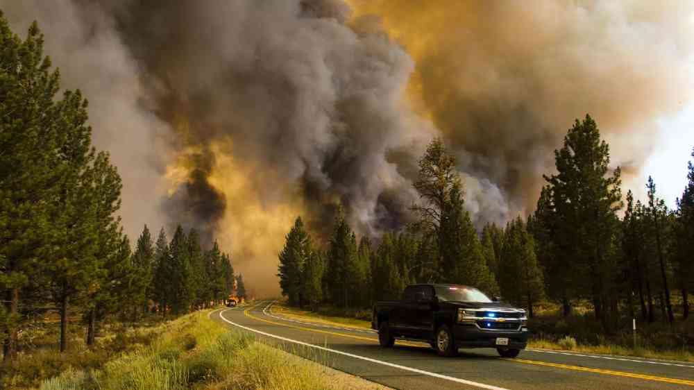
Burning pine forest in the smoke and flames
Update

Southwest Research Institute (SwRI) developed a wildfire early detection system that combines real-time modelling, remote sensing and multiple datasets to help emergency officials decide when to alert at-risk communities and where to deploy resources.

Southwest Research Institute
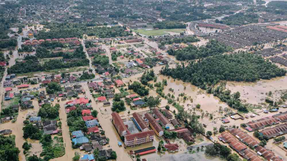
Aerial photograph capturing an extensive urban area affected by flooding, surrounded by lush green vegetation.
Research briefs

Georgia Tech researchers tested how well existing outburst flood models reproduced the actual event to find the models consistently underestimated flood conditions. Even improved models struggled to accurately capture the height and timing of floodwaters.

Georgia Institute of Technology
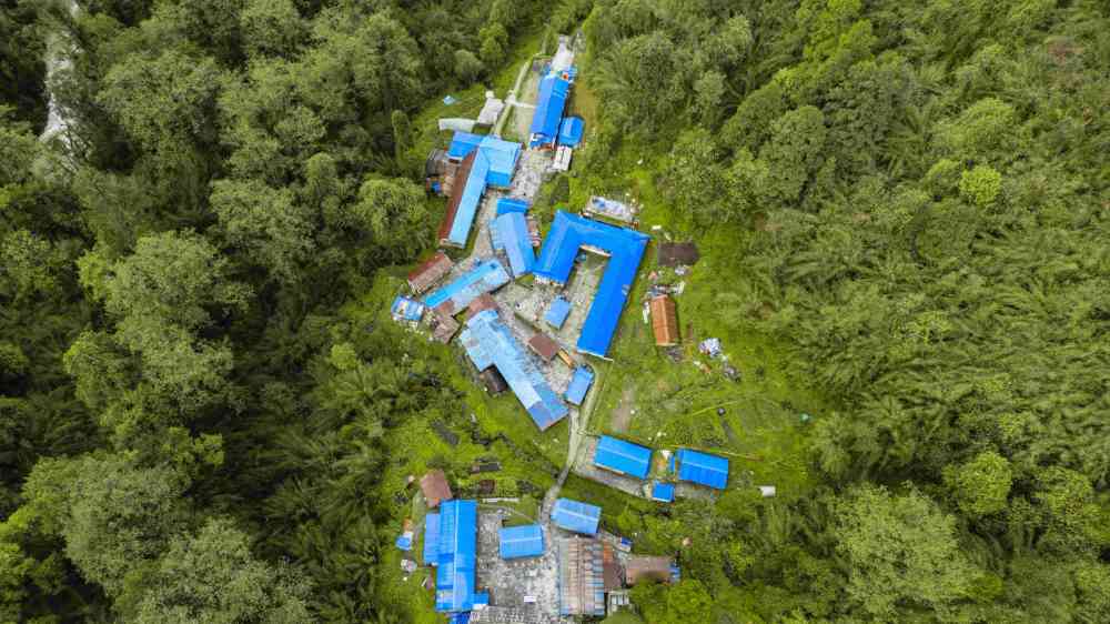
Aerial view of houses with blue tarps
Research briefs

Team from Kyoto University and Kobe University developed a method to identify wind damage and assess mitigation benefits using high-resolution drone and satellite imagery. Homes with blue tarps after a hurricane were used as a proxy for wind damage.

Kyoto University 京都大学
Drone captures dramatic scene of firefighters battling a blaze in Minnesota.
Julie Flore
When aerial observation is connected to field verification, engineering judgement and a clear recovery decision, it can save time, reduce avoidable exposure and make infrastructure recovery more accountable.
Meetings and conferences
Abuja
-
In person
The Africa Space Economy, Innovation & Communication Conference (ASEICC 2026) runs from November 24–27, 2026, at the Obasanjo Space Centre in Abuja, Nigeria.
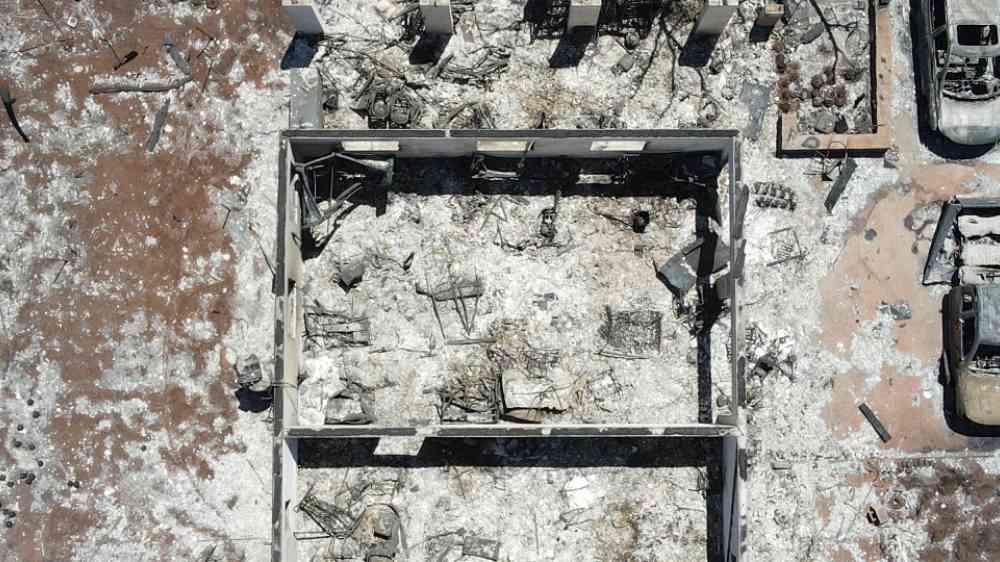
Burnt house and cars in Lahaina, Maui, Hawaii, 2023
Update

Satellite observations show record-breaking wildfires in Spain and burned more than 90,000 hectares in France, triggered mass evacuations and devastated communities. Researchers link the extreme fire activity to drought, heat waves and strong winds.

National Aeronautics and Space Administration (NASA)
 Smoke filled the skies over western Canada and much of the United States in May 2023.
Update

FireSat is designed to work alongside a growing network of cameras on the ground that use artificial intelligence to search for smoke and heat. Together, the systems could give firefighters their earliest warning yet that a fire has started.

Climate Central
Drone over a wildfire
Patrick Maple
The most valuable drone flight is not necessarily the one carried out immediately after a disaster. It may be the routine survey conducted months earlier, documenting a landscape before it changes.
Floods from space: How remote sensing, AI, and cloud platforms are reshaping Disaster Risk Reduction thumbnail
Documents and publications

This review addresses the need for a systematic and decision-oriented synthesis of how space-borne remote sensing has evolved toward integrated flood monitoring and disaster risk reduction frameworks.

Journal of Flood Risk Management (Wiley)
California wildfires, July 2021
Update

The impacts of climate change are escalating, compounded by urban expansion into fire-prone areas. Eight cutting-edge technologies have the potential to revolutionize wildfire risk reduction strategies.

United Nations Office for Disaster Risk Reduction (UNDRR)
Artificial intelligence for remote sensing-based detection and prediction of landslides in Malaysia and Vietnam: A state-of-the-art review thumbnail
Documents and publications

This paper reviews the current status of artificial intelligence (AI) in assessing and predicting landslides, emphasising Malaysia and Vietnam landslides.

Natural Hazards (Springer)
Update

A team at the Applied Physics Lab is working to understand the complex science behind predicting invisible threats that can quickly cripple electric grid infrastructure on Earth.

Johns Hopkins University
Update

China launched a Long March 4B carrier rocket to deploy its latest oceanographic research satellite, the HY-2E, on Thursday morning, according to the China National Space Administration.

China Daily
Satellite-based hazard assessment of rock glacier lakes examples from the European Alps thumbnail
Documents and publications

The study is about developing and applying a remote-sensing workflow based on multispectral Sentinel-2 and PlanetScope satellite imagery to detect and monitor lakes forming on active rock glaciers in the European Alps

Natural Hazards (Springer)
Training event
-
Online
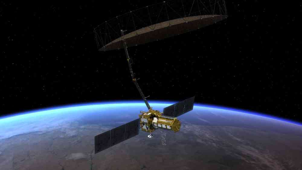
This training introduces the NISAR data products, and applications for ecosystem monitoring and disaster response. Participants will learn data access tools, SAR analysis techniques, and how NISAR supports flood, landslide, and earthquake risk assessment
Artist rendition of the NISAR satellite
Update

SOLAR-1 strengthens the nation’s ability to safeguard systems that can be disrupted by space weather, including the electric grid, satellites, communications, aviation, navigation systems and human spaceflight.

National Oceanic and Atmospheric Administration
Update

Three Foresight satellites increase Earth-monitoring network developed by Abu Dhabi's Space42

The National
Update

A collaboration of scientists from NASA and Brazilian research institutions has produced a detailed picture of groundwater change across Brazil.

National Aeronautics and Space Administration (NASA)
Training event
-
Online
This training includes an overview and demonstration of flood monitoring tools based on remotely sensed optical observations, NASA's near real-time Global Flood Product, and several Observational Products for End-users from Remote Sensing Analysis.
Powerful hurricane Melissa seen from space with a clearly defined eye over the Caribbean sea, Octoner 2025.
Update

In mid-April 2026, Super Typhoon Sinlaku churned across the North Pacific Ocean and brought heavy rain and flooding to the Mariana Islands.

National Aeronautics and Space Administration (NASA)
Early-warning engineering for corridor vulnerability: A remote sensing threshold model for disaster risk reduction in Tanzania thumbnail
Documents and publications

This research article examines how Earth observation technologies can strengthen early warning and disaster risk reduction for transport infrastructure in Tanzania.

International Journal of Disaster Risk Reduction (Elsevier)
Update

A team of scientists published an analysis of Hektoria’s collapse based on a suite of remote-sensing data, finding that its particular geometry enabled the rapid change.

National Aeronautics and Space Administration (NASA)
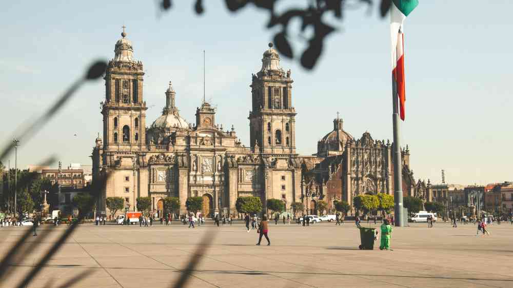
Mexico City
Update

Home to some 20 million people, the Mexico City area is built atop an aquifer. Extensive groundwater pumping, combined with the weight of urban development, has resulted in the compaction of the ancient lakebed beneath the city for more than a century.

National Aeronautics and Space Administration (NASA)
Update

Hidden warm-water traps beneath Antarctica may be melting the continent’s ice far faster than scientists realized.

SciTechDaily
Aurora borealis paroxysm over the area of lake Myvatn in Iceland.
Research briefs

Combining carbon-14 measurements taken at the highest level of precision with historical literature lays a new foundation for studying unpredictable and hazardous solar proton events.

Okinawa Institute of Science and Technology
Research briefs

A key Atlantic Ocean current system that helps regulate the planet's climate could weaken more than expected by 2100, with potentially devastating consequences worldwide, a new study has found.

PhysOrg, Omicron Technology Ltd
Update

As climate resilience becomes a critical pillar of European policies, RSS-Hydro’s tools utilise cutting edge geospatial technology to forecast weather and impact in immersive detail.

Innovation News Network
Update

A constellation of four new satellites has been launched for Greece, marking a world first for a national satellite capability dedicated to wildfire detection and tracking.

European Space Agency
Wildfire heatwave compund event
Research briefs

A study connects satellite data on vegetation condition, topography, and weather conditions to examine the predicted versus actual burn severity of the 2025 Los Angeles wildfires.

Eos - AGU
Meetings and conferences
Online
The session will highlight practical approaches to strengthening national geospatial information management capacities.
Training event
Bangkok
-
In person
This course provides participants with practical knowledge and skills to apply Earth Observation (EO) data for effective drought monitoring and assessment.
Meetings and conferences
Online
This session during the 2026 GEO Symposium / GEO-21 Plenary will explore how very high-resolution (VHR) Earth observation data can strengthen climate finance investments for early warning systems and disaster risk reduction (DRR).
A blazing wildfire starts to encroach on residential areas in Braga, Portugal
Research briefs

Research demonstrates the use of operational weather radar measurements to track long-range ember fallout and rapid spread of intense wildfires.

Eos - AGU
Research briefs

By combining high-resolution satellite data, terrain data and realistic fire simulations, USC Viterbi researchers have developed a reconstruction and prediction tool for making informed decisions when tackling catastrophic wildfires.

USC Viterbi School of Engineering
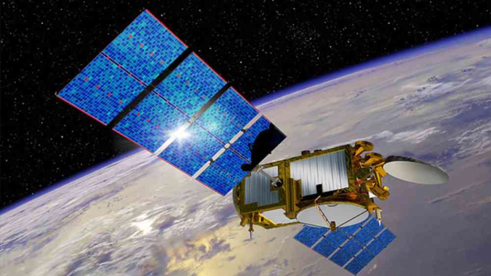
An artist's rendering of the Jason 3 satellite
Research briefs

How well does our current satellite fleet capture the world’s major floods? Scientists turn to the Dartmouth Flood Observatory record for a data-driven answer.

Eos - AGU
Update

AI and drones are being used to identify climate-resilient wheat varieties that balance high yields with climate stability.

Open Access Government
Mapping drought severity in Mexico using high‑resolution satellite data thumbnail
Documents and publications

This paper analyses drought severity across Mexican regions between 2000 and 2025 using satellite-based indicators of vegetation health and surface moisture.

Organisation for Economic Co-operation and Development
Aerial view of Amistad Reservoir in Texas during sunset
Update

Researchers from the University of Southampton used Landsat data to identify where water advanced or retreated from 1984 to 2022, creating the first global dataset pinpointing the exact year of permanent surface water changes.

National Aeronautics and Space Administration (NASA)
Germany's first freely movable radio telescope from 1957 on the Stockert, a mountain near Bad Münstereifel.
Research briefs

China’s new dual‑band interplanetary scintillation telescope uses a phased‑array feed and AI calibration to deliver unprecedented sensitivity for tracking solar wind disturbances, strengthening global space‑weather monitoring and forecasting.

Eos - AGU
Southeast coast of the Kamchatka Peninsula. View from a helicopter.
Research briefs

A new satellite, SWOT, captured detailed tsunami wave patterns after the 2025 Kamchatka quake, revealing near‑trench slip and improving scientists’ ability to model tsunami generation and strengthen coastal hazard preparedness.

University of California, San Diego
Artist rendition of the NISAR satellite
Update

A data visualization technique illustrates how an experimental NASA technology can provide extra lead time to communities in the path of a tsunami.

National Aeronautics and Space Administration (NASA)
Research briefs

The technology used to predict sand and dust storm (SDS) severity has for decades systematically over-estimated when and where sediment is transported across the Earth’s surface, a new study shows.

Cardiff University
GPS satellite in the Earth's orbit
Update

Satellite data and AI are helping Asian countries close critical water‑data gaps, improving flood and drought planning, strengthening lake‑ecosystem monitoring, and supporting smarter, climate‑resilient water governance across the region.

United Nations Economic and Social Commission for Asia and the Pacific (UN-ESCAP)