1. Home
  2. Knowledge Base | PreventionWeb
  3. Themes

Risk identification and assessment

A qualitative or quantitative approach to determine the nature and extent of disaster risk by analysing potential hazards and evaluating existing conditions of exposure and vulnerability that together could harm people, property, services, livelihoods and the environment on which they depend. Performing risk, hazard and vulnerability assessments is a key disaster risk management activity.

This theme covers aspects related to hazard/vulnerability/climate risk assessment, disaster risk modelling and analysis.
Through UNICEF’s open-access GeoSight platform, decision-makers can visualise risk, compare layers, and identify priority areas for action.

Latest Risk identification and assessment additions in the Knowledge Base

Uploaded on
jcrr-lui-et-al-volume-04-article-03.pdf thumbnail
Documents and publications

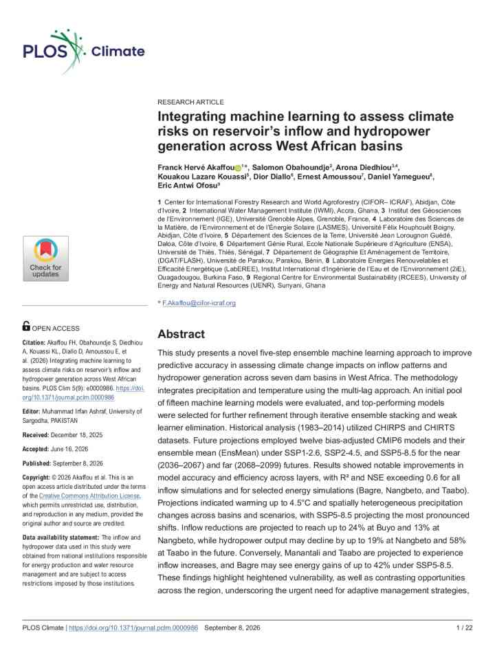
In this study, the authors introduce the Schroders Capital Insurance-Linked Securities (SCILS) model that leverages projected climate proxies to estimate category-specific North Atlantic landfall rate changes for different global warming levels.
ETH Zurich
Swiss Federal Office of Meteorology and Climatology (MeteoSwiss)
Stanford University
Person holding an umbrella during a hot day in a square
Research briefs

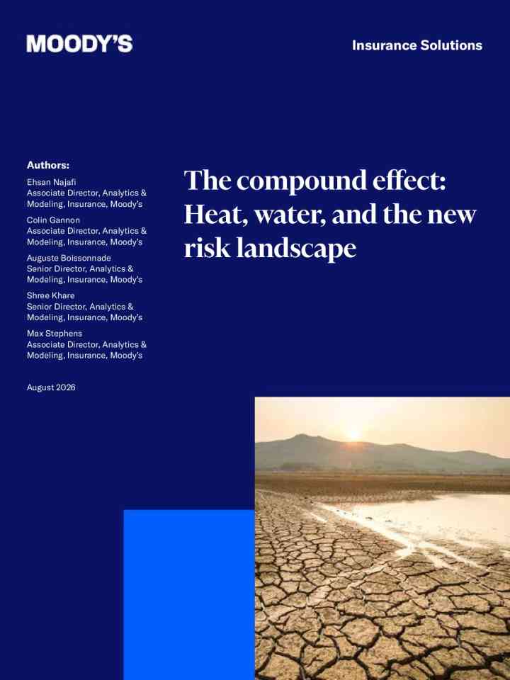
Using the Universal Thermal Climate Index (UTCI), the study shows that hazardous heat is becoming more frequent, more intense and more widespread, with hotter nights, longer heat stress seasons and increasing numbers of people exposed to hazardous heat.

Copernicus Climate Change Service
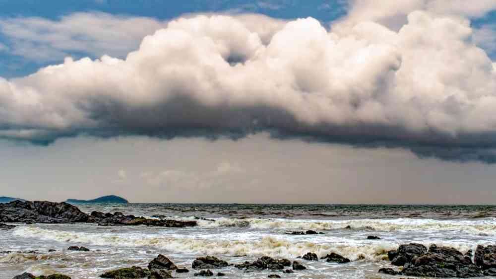
Dark clouds and heavy rainfall over a hilly landscape
Update

Heavy precipitation becomes more intense with every degree the Earth warms. This has an impact on flooding.

WSL Institute for Snow and Avalanche Research (SLF)
Stranded boats on the Amazon riverbanks as drought hits the Amazon river
Update

Already, tropical cyclones are peppering the Pacific and skipping the Atlantic, and U.S. temperatures are topsy-turvy.

Yale Climate Connections
Research briefs

Ocean tides push upstream along coastal rivers, in some cases reaching hundreds of kilometers inland. These inland stretches are known as tidal rivers, and they’re the scene of complex interactions between the river current and tidal oscillations.

Eos - AGU
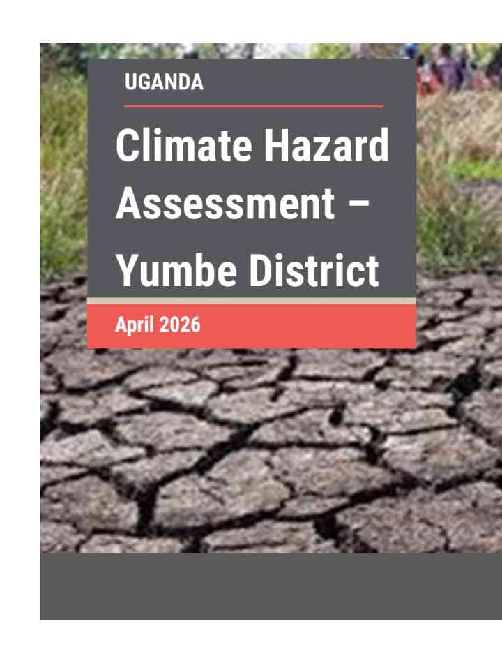
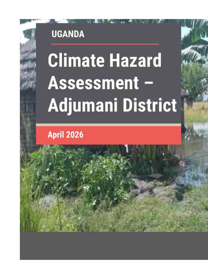
Participatory climate risk assessment manual: West Africa WACA thumbnail
Documents and publications

The manual provides practical guidance for designing and implementing participatory climate risk assessments and locally led adaptation processes.

World Bank, the
Aerial City shot of surfers paradise Gold Coast, Australia
Update

As scientists learn more about how climate change could trigger catastrophic flooding, wholesale collapse of food supplies and millions of heat-related deaths, there is a growing realisation that such risks need to be more widely understood and acted on.

Conversation Media Group, the
Dice on a map with kids in the background
Update

Cuba is strengthening DRR through anticipatory action, risk-informed planning and inclusive Cooperation Frameworks that address climate hazards and social vulnerabilities.

United Nations Office for the Coordination of Humanitarian Affairs
Coastal and Estuarine Research Federation
Food and Agriculture Organization of the United Nations (FAO)
International Fund for Agricultural Development (IFAD)
International Organization for Migration (IOM)
World Health Organization (WHO)
United Nations Human Settlements Programme (UN-HABITAT)
United Nations Industrial Development Organization (UNIDO)
United Nations Development Programme (UNDP)
United Nations Environment Programme (UNEP)
International Telecommunication Union (ITU)
United Nations Office for Disaster Risk Reduction (UNDRR)
United Nations Educational, Scientific and Cultural Organization (UNESCO)
United Nations Population Fund (UNFPA)
United Nations Children's Fund (UNICEF)
United Nations Office for Project Services (UNOPS)
World Food Programme (WFP)
World Meteorological Organization (WMO)
Uploaded on