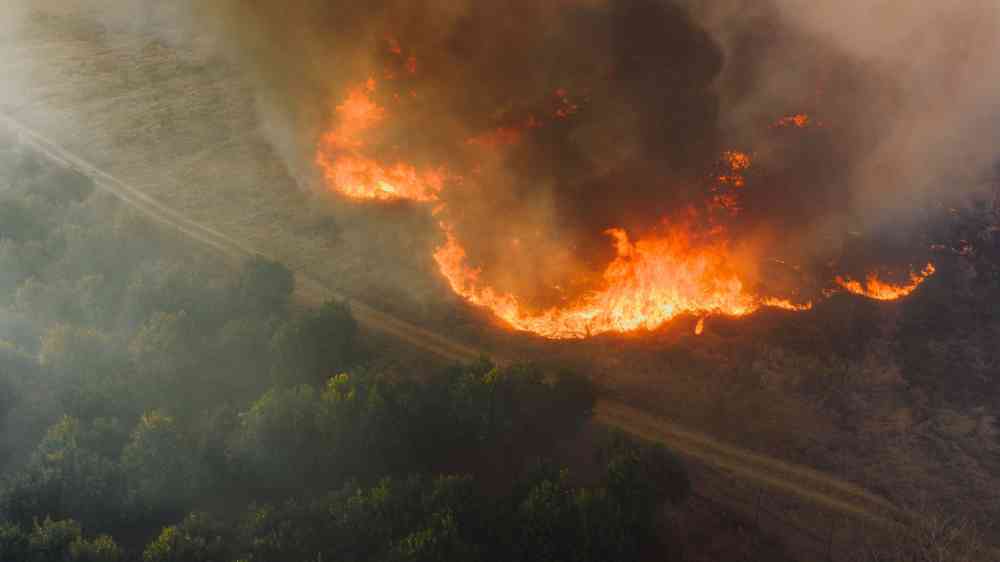
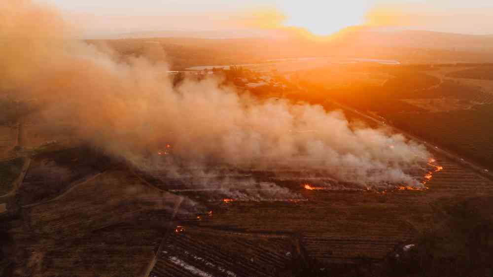
Forest expansion and thickening after British colonization has created landscapes more prone to burning, amplifying the influence of climate change and propelling Australia’s bushfire crisis, a new study has found.
This study evaluates the sensitivity of wildfire hazard to climate change in Molleturo Parish, Azuay Province, using high-resolution (20 m) spatial simulations with the FlamMap modeling framework.
El Niño conditions have been observed in the tropical Pacific since June 2026, with forecasts indicating further strengthening through the end of 2026 and into early 2027, potentially making it one of the most intense events in decades.
A satellite-based tool maps vegetation moisture across Australia, helping track bushfire risk in near real time. The data can support local monitoring, preparedness and prescribed burning decisions as conditions evolve.
Certain invasive species from climate regions comparable to Portugal could be incorporated into a biodiverse planting plan that includes their removal once the other species are established.
A decade after the idea took shape, Forest Resilience Bonds are helping partners finance and fund projects across the western U.S., reducing wildfire risk while enhancing the water supply and supporting local jobs.