1. Home
  2. Knowledge Base | PreventionWeb
  3. Themes

Earth Observation

Earth Observation (EO) is the process of gathering information about the Earth’s surface, waters and atmosphere via ground-based, airborne and/or satellite remote sensing platforms.

This theme includes the use of space-based and aerial technologies such as satellite communications, remote sensing and drones to improve disaster management and collect data for disaster risk reduction (DRR).

Latest Earth Observation additions in the Knowledge Base

Uploaded on
Wildfire heatwave compund event
Research briefs

A study connects satellite data on vegetation condition, topography, and weather conditions to examine the predicted versus actual burn severity of the 2025 Los Angeles wildfires.

Eos - AGU
A blazing wildfire starts to encroach on residential areas in Braga, Portugal
Research briefs

Research demonstrates the use of operational weather radar measurements to track long-range ember fallout and rapid spread of intense wildfires.

Eos - AGU
Research briefs

By combining high-resolution satellite data, terrain data and realistic fire simulations, USC Viterbi researchers have developed a reconstruction and prediction tool for making informed decisions when tackling catastrophic wildfires.

USC Viterbi School of Engineering
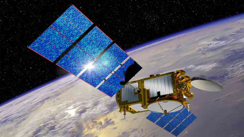
An artist's rendering of the Jason 3 satellite
Research briefs

How well does our current satellite fleet capture the world’s major floods? Scientists turn to the Dartmouth Flood Observatory record for a data-driven answer.

Eos - AGU
Update

AI and drones are being used to identify climate-resilient wheat varieties that balance high yields with climate stability.

Open Access Government
Mapping drought severity in Mexico using high‑resolution satellite data thumbnail
Documents and publications

This paper analyses drought severity across Mexican regions between 2000 and 2025 using satellite-based indicators of vegetation health and surface moisture.

Organisation for Economic Co-operation and Development
Aerial view of Amistad Reservoir in Texas during sunset
Update

Researchers from the University of Southampton used Landsat data to identify where water advanced or retreated from 1984 to 2022, creating the first global dataset pinpointing the exact year of permanent surface water changes.

National Aeronautics and Space Administration (NASA)
Germany's first freely movable radio telescope from 1957 on the Stockert, a mountain near Bad Münstereifel.
Research briefs

China’s new dual‑band interplanetary scintillation telescope uses a phased‑array feed and AI calibration to deliver unprecedented sensitivity for tracking solar wind disturbances, strengthening global space‑weather monitoring and forecasting.

Eos - AGU
Uploaded on