New Zealand: Christchurch and Canterbury earthquakes 2010-2011
Introduction
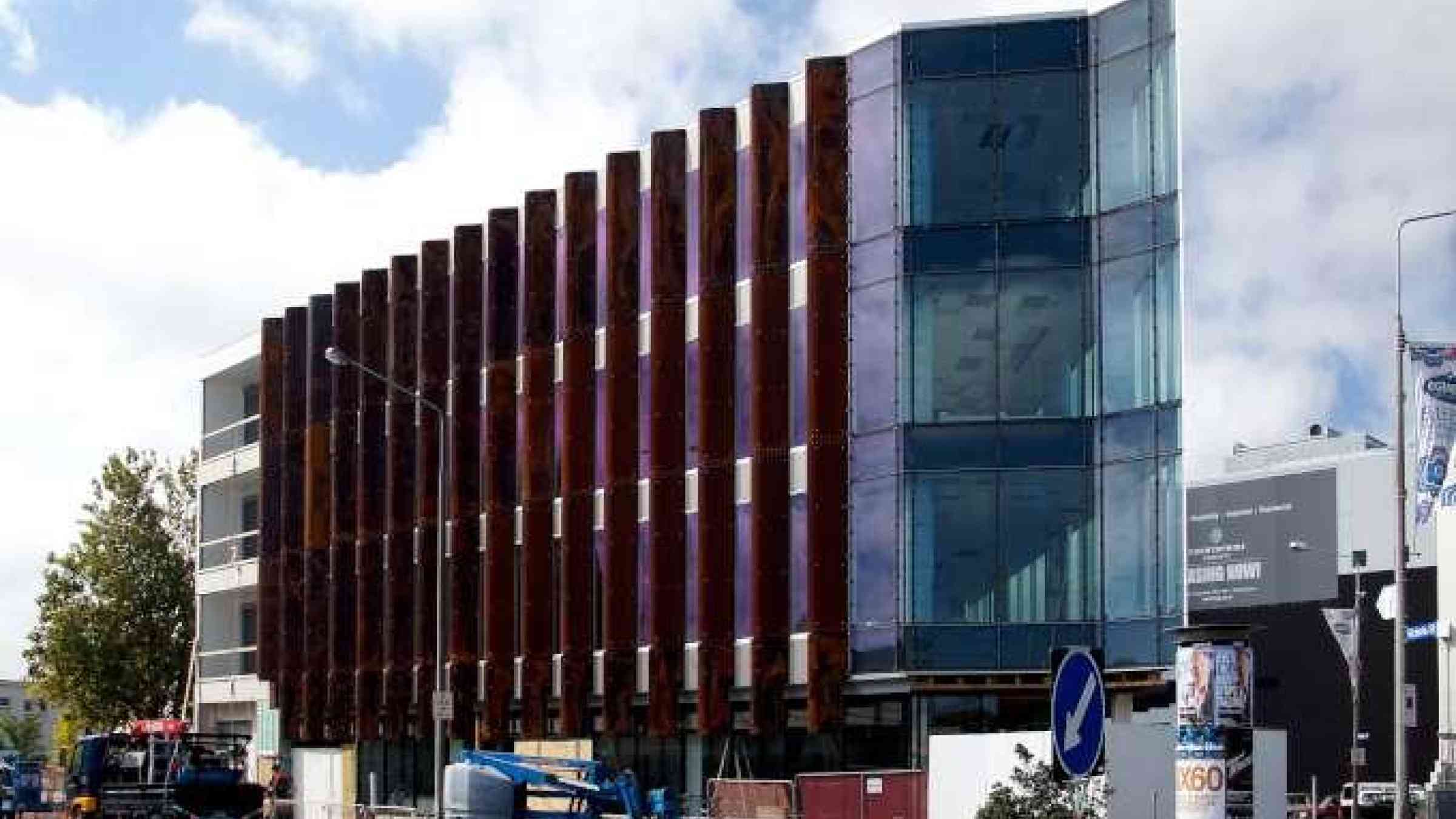
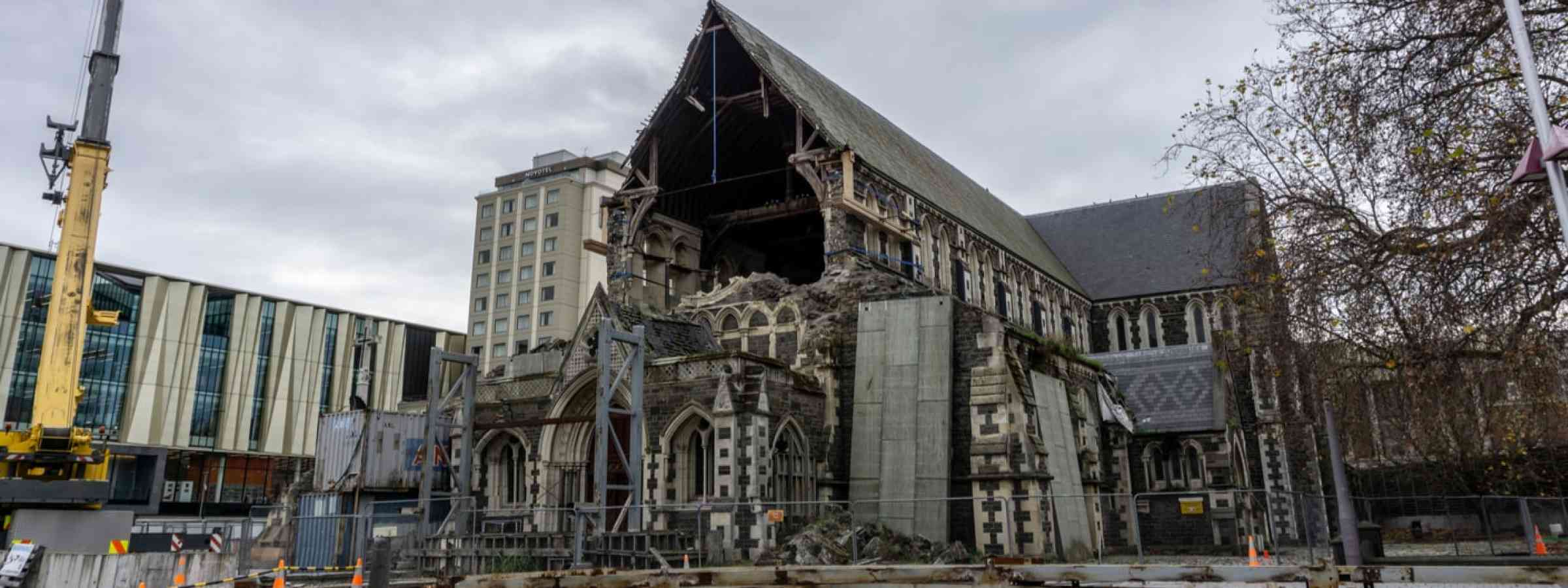
Christchurch earthquakes of 2010–11 are a series of tremors that occurred within and near the city of Christchurch, New Zealand, and the Canterbury Plains region from early September 2010 to late December 2011. The severest of those events was the earthquake (magnitude from 7.0 to 7.1) that struck on September 4, 2010, and the large, destructive aftershock (magnitude 6.3) that occurred on February 22, 2011.
The principal event, sometimes referred to as the Darfield earthquake, struck at 4:35 am on September 4, 2010. The earthquake’s epicentre was located some 25 miles (40 km) west of Christchurch near the town of Darfield, and the focus was located about 6 miles (10 km) beneath the surface. It was caused by right-lateral movement along a previously unknown regional strike-slip fault in the western section of the Canterbury Plains. The fault, later named the Greendale Fault, appeared about 50 to 56 miles (80 to 90 km) southeast of the boundary between the Australian and Pacific tectonic plates, and part of the fault became visible at the surface because of the earthquake. Thousands of smaller aftershocks occurred in the months that followed.
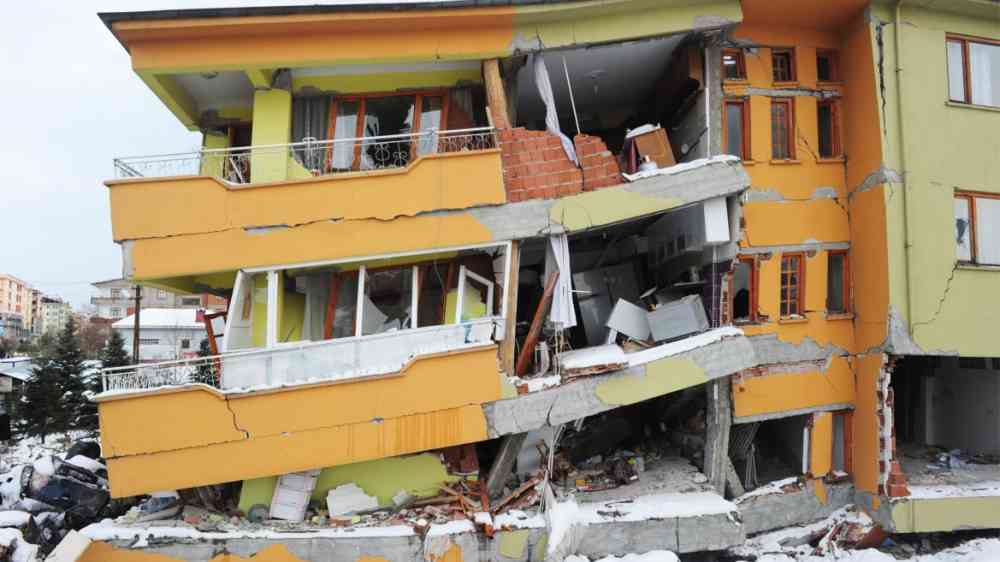
The severest aftershock occurred at 12:51 pm on February 22, 2011. The Mw6.2 (ML6.3) earthquake struck the Canterbury Region in the South Island, centred 6.7 kilometres (4.2 mi) south-east of the central business district. It caused widespread damage across Christchurch, killing 185 people in New Zealand's fifth-deadliest disaster.