WHO: 'Where do natural hazards pose a public health risk?'
Earthquakes, floods, landslides, high winds and heat waves put lives in peril, and extreme weather events due to climate change are increasing. WHO/Europe has mapped people’s risk of exposure to these hazards in the 32 most-affected countries in the Region.
Assessing people’s exposure to danger is a vital first step in preparing for a possible emergency and reducing the risk to health associated with it. WHO/Europe has developed an e-atlas, which models the distribution of five natural hazards – seismic activity, floods, landslides, heat-waves and winds – and populations’ exposure to them in 32 countries of the European Region.
The atlas provides regional and country maps of each hazard, as well as the data by country in tables and graphs.
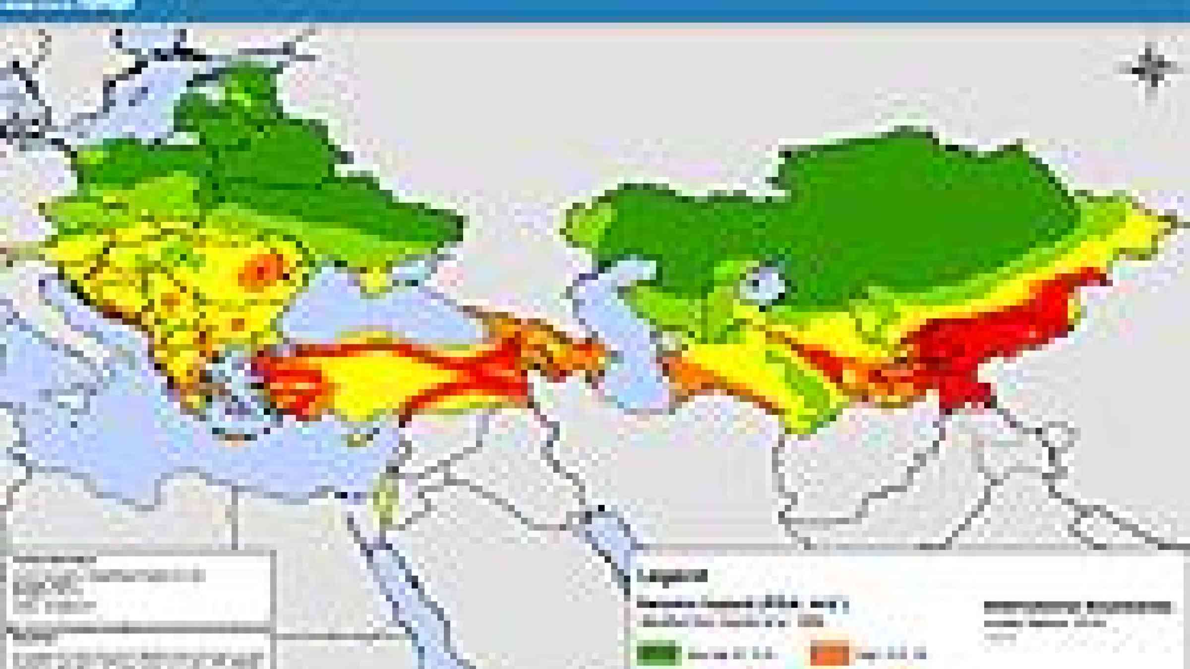
Flood hazard distribution map: regional view
Flooding appears to be the most common natural hazard that people are exposed to across the countries studied in the WHO European Region. In countries in the south and east, seismic activity is a high or very high risk for large parts of the population.
The aim of the e-atlas is to raise awareness of disaster risk among ministries of health and other health stakeholders, and so stimulate improvement in their disaster-preparedness and management capacity.