Forecasting compound floods in complex coastal regions
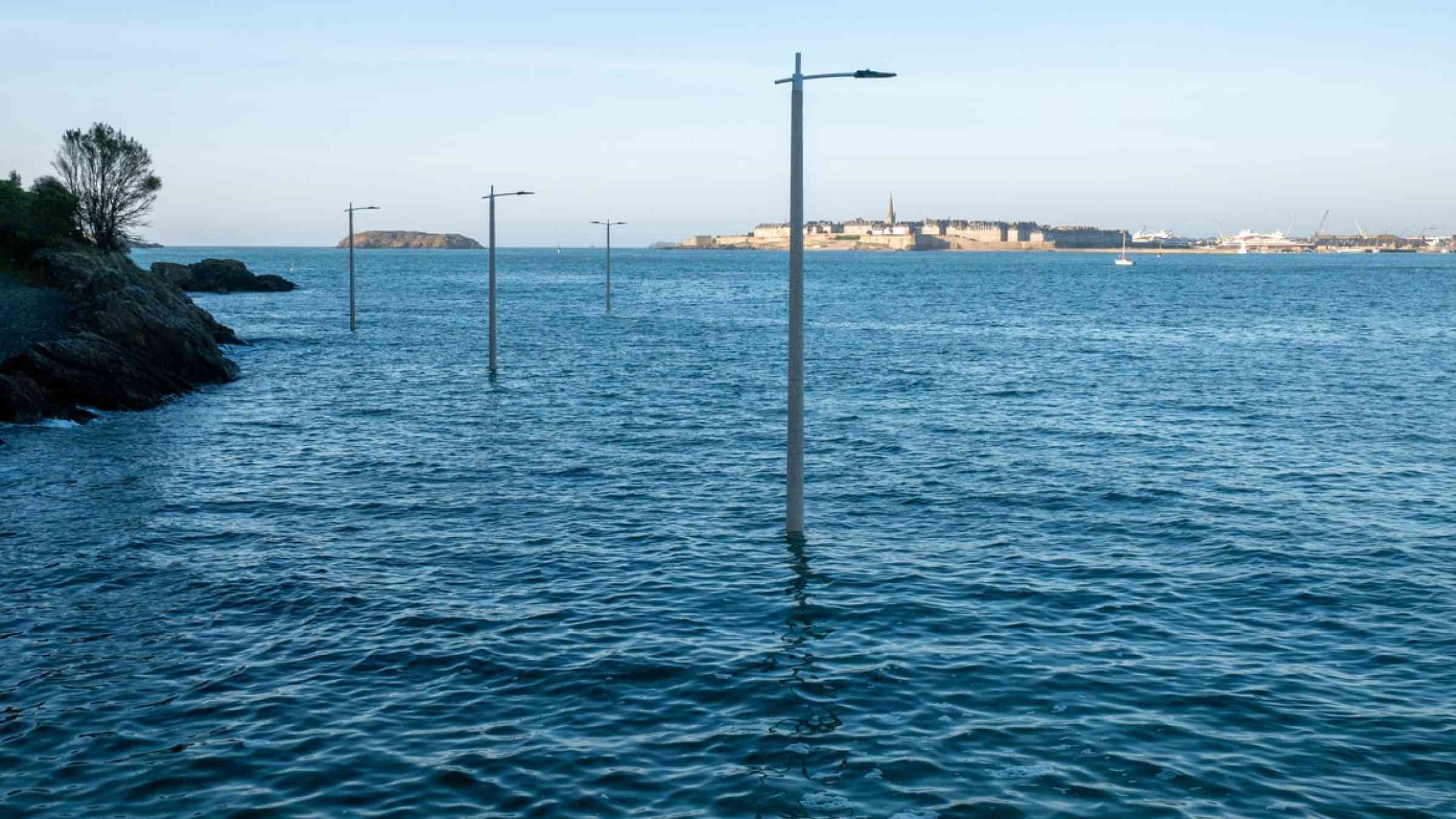
For coastal communities, it’s bad enough when a river overflows its banks and floods nearby roads, homes, and buildings. Now imagine a scenario in which a rainstorm not only overfills the river channel but also causes a landslide that dams the river and causes further flooding. Add to that a high tide and storm surge, possibly made worse by sea level rise and human-caused land subsidence. Welcome to the world of compound flooding events, where multiple factors combine and compound to inundate coastal regions.
Recent examples of costly inland and coastal compound floods in the United States occurred during Hurricanes Katrina in 2005 and Irma in 2017. In Katrina, heavy rainfall and a record-setting storm surge inundated 80% of New Orleans for several weeks. Irma became the costliest hurricane in Florida’s history when high discharge from the St. Johns River combined with a storm surge. As the climate warms, many models predict more frequent occurrences of increasingly “wet” storms in the coming decades [Knutson et al., 2010], creating conditions favorable for compound flooding. Yet the processes that couple inland and coastal factors to drive compound flooding have not been carefully studied, largely because of their inherent complexity. This complexity is due in large part to the transitional nature of the physical interfaces between inland and coastal areas.
The increasing number of compound flooding events in recent years, including during the record-setting 2020 Atlantic hurricane season, has highlighted the urgency and exposed gaps in our understanding of compound flooding processes. These events also accentuate a major pitfall of the current hurricane intensity scale, which is entirely based on wind speed. This singular focus overlooks potential rainfall and inland flooding impacts, leaving hurricane initial forecasts short of vital information about hazards and risks to people and infrastructure.
To address these shortfalls, researchers from several NOAA offices—including the National Weather Service, Oceanic and Atmospheric Research, and the National Ocean Service (NOS)—along with model developers and other partners from the wider scientific community are collaborating to develop analysis and prediction capabilities for performing studies of coupled inland-coastal flooding. In particular, they are linking the National Water Model (NWM)—NOAA’s inland hydrology model—to NOAA’s Operational Forecast System (OFS) coastal ocean models.
Better Models for Better Predictions
The model coupling project operates under the auspices of NOAA’s Water Initiative, which, among other goals, aims to develop, demonstrate, and implement improved capabilities for hydrologic prediction across environments. Model improvements include propagating total water levels upstream and downstream in coastal and estuarine systems, as well as in the riverine system, particularly during storm events. Such steps will help establish an integrated water forecasting system that covers inland and coastal waters and provides vital information to end users and stakeholders, including emergency management agencies on the state, county, city, or tribal level.
This information supply, especially as it relates to floods, is crucial, considering the populations, properties, and economic activities at risk. Along with Katrina and Irma, other recent storms and events have wreaked havoc on coastal and low-lying areas. In 2017, during Hurricane Harvey alone, for example, tens of thousands of people in Texas required rescue because of high waters, and 68 died from direct effects of the storm. Flood damages from Harvey incurred a staggering estimated total cost of $125 billion [Insurance Journal, 2018].
It is therefore urgent to develop prediction capabilities to support accurate guidance for emergency planning. Such capabilities must account for complex interactions that occur inland, along coasts, and at the interface between these settings, including propagation of water backflows into upstream rivers, for example, and coastal flooding induced by river overflow and heavy precipitation.
Challenges of Modeling Transition Zones
For the purpose of modeling surface waters, traditional hydrological models are typically used to deal with watershed and inland processes, whereas hydrodynamic models are used to deal with oceanic processes. Coastal zone compound processes, meanwhile, occur in a transition zone between inland and ocean regimes.
Simulations of the inland-coastal transitional zone—and of compound flooding events—are best done using a single integrated model. However, constructing such a model poses formidable challenges [Santiago-Collazo et al., 2019; Zhang et al., 2020] because coastal inundation and flooding are not directly proportional to processes in either the ocean or inland regimes (i.e., there is substantial nonlinearity among causes and effects). Using two separate models is not an ideal solution either—the nonlinearity makes it difficult to define boundary locations where information should be handed off from one model (inland) to the other (ocean).
Collaborative efforts between the NOS’s Office of Coast Survey (OCS) and the Virginia Institute of Marine Science (VIMS) supported by the Water Initiative funds have now led to the world’s first 3D integrated compound flooding modeling system. The new integrated model, which is based on a 3D ocean-to-creek model called the Semi-implicit Cross-scale Hydroscience Integrated System Model (SCHISM) [Zhang et al., 2016], overcomes the aforementioned challenges and incorporates various approaches to improve its performance.
For example, the model explicitly includes the NWM river network and flows in an unstructured mesh setup, meaning the shape and size of the overall grid, or mesh, of small areas—and of those areas individually (i.e., grid cells)—being simulated can vary, rather than using a fixed grid shape and size. This setup, which includes river segments that may be dry most of the year and get flooded only during intense precipitation events, improves the realism, and thus accuracy, of the new model. The model setup also accounts accurately for offshore bathymetry and the baroclinity of the ocean (which measures how well an ocean’s pressure gradients align with its density gradients) and thus fully resolves the effects of oceanic processes (e.g., storm surges, the Gulf Stream) on coastal flooding [Ye et al., 2020].
Basing the new model on SCHISM represents an innovative way to combine traditional hydrologic and ocean models into a single modeling platform. A key technological enabler is SCHISM’s robust “polymorphism”; that is, a single model grid can seamlessly morph between several representations: fully 3D, 2D depth or laterally averaged, or quasi-1D. This approach recognizes that the same level of detail is not needed across all parts of a simulation to maintain realistic portrayals, thus maximizing the computational efficiency of the model while ensuring accuracy.
Valuable Insights from Early Results
We have successfully applied the new model in studies of compound flooding around Delaware Bay during Hurricane Irene in 2011, around Galveston Bay during Harvey, and along the coast of the Carolinas during Hurricane Florence in 2018 [Ye et al., 2020; Zhang et al., 2020; Huang et al.,2021; Ye et al., 2021]. In each case, the study domain included the entire U.S. East Coast and Gulf of Mexico, with mesh resolution of about 200 meters in the coastal watersheds of interest. It also included all rivers and flood defense structures (e.g., levees) accurately resolved down to 1 meter resolution [Huang et al., 2021] .
The model has already provided valuable information on compound flooding processes. For example, our simulations of Irene, which included river flows, storm precipitation, and storm surge, predicted significantly higher inundation in parts of the Delaware Bay region, including Philadelphia, Pa., and Trenton, N.J., compared with simulations that considered storm surge alone.
We have also been able to quantify the nonlinearity involved in compound flooding processes. To do so, we consider disturbances, or deviations, during flood events from typical ocean water surface elevations or from typical total water depths in a watershed [Huang et al., 2021]. One indicator of nonlinearity, called the compound factor, is a ratio of maximum disturbance values resulting from two types of calculations for a given location. The first is the maximum disturbance calculated in a simulation including all flood forcing factors (i.e., from the ocean and atmosphere, rivers, and precipitation). The second calculation sums the three maximum disturbances from simulations applying one forcing factor at a time. Compound factors that are close to 1 (unity) indicate negligible compounding effects of the different forcings on water levels, whereas values far from unity indicate the presence of significant nonlinear compounding effects.
We found that compound effects were significant during Hurricane Harvey in most areas around Galveston Bay (Figure 3a), except for on the ocean, in portions of the lower bay, and on high-ground areas in the watershed (where precipitation is the sole source of water) [Huang et al., 2021]. These results demonstrate that summing up the model results on the basis of individual forcing factors would overestimate high-water marks in most regions by at least 20% and that a single model that incorporates all factors thus should be used to avoid large biases.
A second way to quantify and map nonlinearity is to examine whether total disturbances in modeled areas are dominantly explained (or not) by a single forcing factor. A factor is deemed to be dominant if it accounts for at least 80% of the total disturbance. If no one of the three factors contributes to 80% or more of the disturbance at a location, the nonlinear compounding effects there are considered significant. From a simulation of Hurricane Florence, for example, large portions of the coast of the Carolinas were found to have been influenced by compounding effects of multiple forcings. This observation clearly highlights the need for a holistic management approach considering all forcings in flood hazard planning and mitigation efforts before, during, and after hurricane events.
From Models to Forecasts
The new modeling system will serve as the engine for a new component of the current NOS Surge and Tide Operational Forecasting System (STOFS) to provide the inland-coastal flooding model guidance. This capability represents a major step forward in our ability to predict and plan for future compound flooding events. The modeling component is currently undergoing preoperational testing and is producing daily inland-coastal flooding forecasts. During the upcoming hurricane season, we expect to have this system ready for operational tests, producing 3D simulations and layered predictions for the East Coast and Gulf region once a day and 2D simulations (with depth-averaged predictions) four times a day during storm events. Similar modeling systems for the U.S. West Coast and Pacific Ocean basin are also being developed to serve as additional components in STOFS.
A future challenge lies in the limited availability of high-fidelity data sets that seamlessly combine topography (land elevations) and hydrography (river and ocean depths). Such topobathy data provide a fundamental driver and major constraint for nearshore and coastal modeling systems.
Another challenge is the need to develop technologies to generate computational meshes that accurately represent complex morphological features in inland-coastal transition regions such as levees and meandering river channels. Unstructured meshes (e.g., Figure 1b) should be designed to use computational resources efficiently while resolving these important geomorphological features.
We are investigating data-driven methods that enable automated generation of adaptable unstructured meshes. The goal is to guide choices of computational mesh sizes based on a set of rules derived from the underlying digital elevation model (DEM), watershed stream network, and levee database considered in a flood model, as well as from meteorological forcings such as predicted hurricane tracks. Some constraints on mesh sizes can be derived from the DEM, including rules to make sure that steep slopes in topobathy are properly resolved in the mesh.
In future work, we also plan to use river network data from the NWM to guide automated algorithms that create meshes with the resolution needed to resolve smaller creeks and tributaries. To this end, the combined OCS-VIMS team will continue developing open source software packages in the Python computer language. These packages are specifically designed to automate mesh generation processes fully based on DEM and forcing conditions to enable on-demand flood forecasts during potential high-water events.
The team will also provide intuitive web-based visualization tools to facilitate easy assessment of local conditions. For instance, a user could search for an address and click on a map to see time evolutions of water surface elevations, surface currents, and other variables at their location of interest. Through these continuing efforts, we hope to empower people living in coastal communities, first responders, mariners, and other stakeholders with clear, useful information so they can better understand, prepare for, and respond to treacherous flooding hazards.