Climate change is intensifying storms, floods and heatwaves across Asia and beyond, and countries from Bangladesh to the Philippines face similar risks.
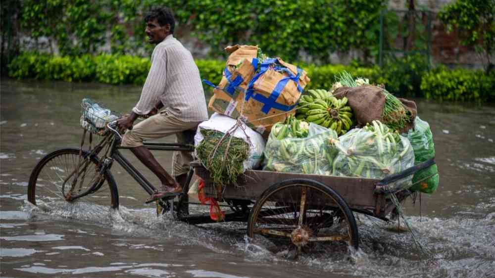
In recent decades, floods have caused extensive loss of life and property. In addition, the relentless rains in Bengaluru have worsened the already terrible traffic conditions in the city.
The most frequent and expensive natural hazards worldwide are floods. Resulting disasters resulted in 21,700 losses between 1980 and 2014, with a total loss of US$ 4,200 billion, 40% attributable to overflow, and approximately 226,200 fatalities (excluding famine). The proportion of foods and mass movements rose to 50%, 47%, and 45% in 2016, 2017, and 2018, respectively. Food-related losses of life and property are enormous in developing nations. The most vulnerable areas are when monitoring floods so that the authorities can create appropriate solutions. The best course of action is to warn people as soon as possible before the damage takes place, giving them enough time to evacuate both themselves and their property.
Many researchers worldwide have developed AI solutions for flood prevention and management. Moreover, many people are working hard to achieve it. Here are five AI solutions from researchers worldwide for preventing and dealing with floods.
The researchers from Spain showed an early sound-based system for detecting water leaks. The system comes with a software program that lets you measure water levels, fluid types, sensor batteries, and general network information from a distance. The structure is a control centre for coordinating and processing data in the wireless (IEEE 802.15.4 technology) network and five flood sensors with built-in radio modules that can communicate over the Internet or 2G/3G/4G through the control centre and are therefore accessible through an external network.
Similarly, Malaysian researchers investigated the effectiveness of the Internet of Things (IoT) in disaster management applications. The authors propose an IoT technology that collects water level and flows data using wireless sensor networks (WSNs), cameras, mobile phones, and weather stations as crucial components. The weather station records temperature, wind speed, and direction—Cameras record images of environmental data. Wifi and Zigbee transmit collected data to the middleware layer for processing and analysis in the network layer. The middleware then performs data management functions, such as processing the collected data and presenting essential information in the form of a flood map, such as flood extent, time, and location. Users can access information from their smartphones and receive push notifications when an emergency occurs.
Likewise researchers from England described a sensor network with Gumstix sensor nodes for flood prediction in 2006. 13 nodes made up the tested system, which ran along a river for one kilometre. The emphasis was on the flood event of a river, and the sensor network solution included two communication levels, four node types, and a variety of sensor types. This approach was similar to MIT researchers in 2008, who presented an architecture for predictive environmental sensor networks over large geographic areas. In addition, they discussed a flood prediction algorithm that had been functionally tested experimentally with radio antenna towers.
Later in 2018, Chinese researchers used smart cities with a lot of data to predict flood disasters in cities accurately. Using historical hydrological data, they made a new flood protection system called NFDDSS to help people make decisions. The focus was on how the water level prediction model based on a classification and regression tree worked with time and space. The authors say that it is possible to predict water levels in 1–6 h accurately. However, because this method relies heavily on having large amounts of historical data available in smart cities, it is most accurate after flooding has already happened. So, this method might not accurately predict flood disasters in new areas.
Furthermore in 2019, a group of researchers from Australia, South Korea, and France reviewed the research on how we can use IoT-based sensors and computer vision to monitor and map floods. They showed how computer vision techniques and IoT sensor approaches are in the literature for real-time flood monitoring, flood modelling, mapping, and early warning systems, such as estimating the water level. In particular, they suggested ways computer vision and Internet of Things (IoT) sensor technologies manage coastal lagoons.
---
This article was originally published under the title "Five AI solutions could help Bengaluru avoid flooding".