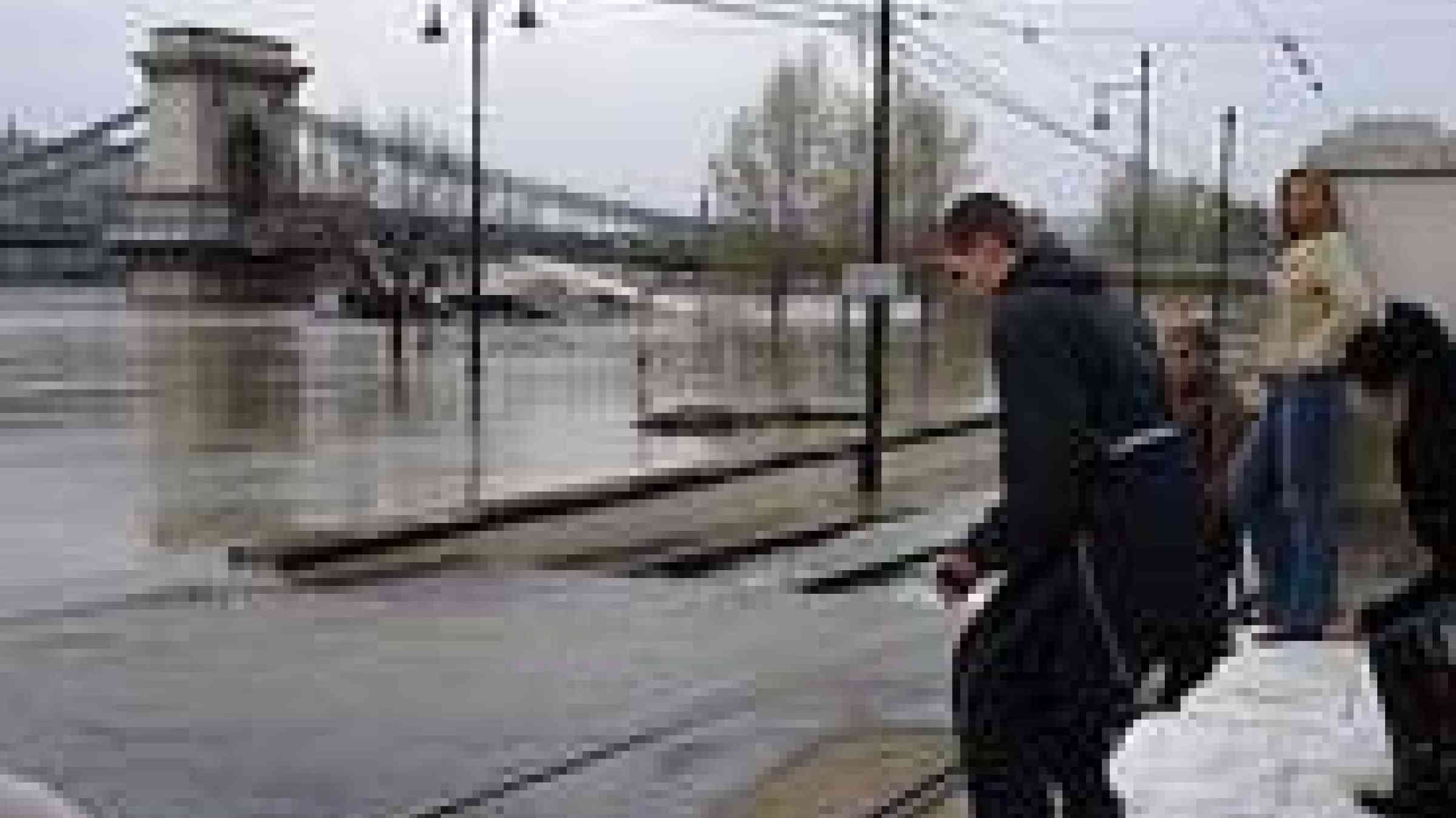
Floods in Central Europe have caused deaths and widespread property damage across parts of the Czech Republic, Germany and Austria. Such events are likely to increase in Europe for several reasons including climate change, according to recent assessments from the European Environment Agency (EEA).
Floods, storms and other hydro-meteorological events account for around two thirds of the damage costs of natural disasters, and these costs have increased since 1980, according to a recent EEA assessment of climate change impacts in Europe.
The observed increase in damage costs from extreme weather events is mainly due to land use change, increases in population, economic wealth and human activities in hazard-prone areas and to better reporting. To confirm the exact role played by climate change in flooding trends in past decades, it would be necessary to have more reliable, long-time series data for rivers with a natural flow regime.
In any case, it is likely that rising temperatures in Europe will intensify the hydrological cycle, leading to more frequent and intense floods in many regions. Although quantitative projections for flood frequency and intensity are uncertain, the contribution of climate change to the damage costs from natural disasters is expected to increase in the future due to the projected increase in the intensity and frequency of extreme weather events in many regions.
Hans Bruyninckx, EEA Executive Director, said: “Considering flood risk in Europe, we can see climate change will be an increasingly important factor. But in many cases, flood risk is also the result of where, and how, we choose to live – increases in costs from flooding in recent decades can be partly attributed to more people living in flood-prone areas.”
Adapting to flood risk
Europe needs to adapt to climate change that is happening now, and anticipate future changes, according to a recent EEA report on climate change adaptation in Europe.
Adaptation measures can be broadly categorised as ‘grey’ measures such as technological and engineering projects, ‘green’ ecosystem-based approaches using nature, and so-called ‘soft’ measures such as policies to change governance approaches. The most effective adaptation projects often combine two or more different approaches. To put this into action, territorial and physical planning have an important role to play. Possible actions to reduce the impacts of floods are addressed in this report and also in the recent EEA report on European water resources in the context of vulnerability.
For example, 'Room for the River' or similar concepts are applied in various EU Member States. Rivers are given more room to overflow at specific locations. This ‘room’ is created in a number of ways, such as lowering floodplains, relocating dykes, or allowing artificially reclaimed land to be re-submerged. In addition to safety, the river area can thus be made more resilient, healthy and attractive, offering more room for nature and recreation.
Cities are also working on actions to reduce their vulnerability to flooding. According to an EEA report on urban adaptation to climate change, roughly one fifth of European cities with over 100 000 inhabitants is very vulnerable to river floods. Impermeable surfaces (‘soil sealing’) can prevent water from draining, leading to increased risk of flooding, according to this interactive map published by the EEA this year. The report provides various examples of cities that have adaptation strategies or have taken action to adapt.
The European Union is addressing flood risk through the Floods Directive. Countries are required to draw up flood risk maps by 2013 and establish flood risk management plans focused on prevention, protection and preparedness by 2015.
In April 2013 the European Commission adopted a Communication on an ‘EU strategy on adaptation to climate change’ which aims at contributing to a more climate resilient Europe. The strategy aims to enhance the preparedness and capacity to respond to the impacts of climate change at local, regional, national and EU levels.
Green infrastructure can also reduce flood risk. Green infrastructure is a network of natural and semi-natural areas designed and managed to deliver a range of ecosystem services, for example wetlands which can absorb excess rainwater. In May 2013, the Commission adopted a communication on green infrastructure.
Copernicus helps flood response
In responding to the flooding, the German authorities have called on Copernicus, the Earth observation programme of the EU, to help provide maps of the areas affected. The maps, which are helping national emergency services to plan their response, are based on satellite data provided through the European Space Agency and detailed spatial reference data owned by regional German mapping authorities.
Within the Copernicus Emergency Management Service, national reference data for use during crises is facilitated through the EEA's GISC project and an agreement signed with Eurogeographics. Coincidentally, data access arrangements, which make the German data available free of charge, were only put in place last week.