Trends in the occurrence of landslides in Nepal from 2011 to 2020
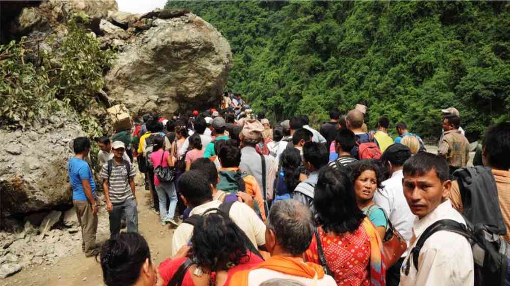
Nepal is one of the most landslide prone countries on earth, a consequence of its topography, geology, climate and socio-economic setting.
I have long had an interest in landslides in Nepal, and indeed have published papers specifically on the temporal and spatial patterns of landslides there (e.g. Petley et al 2007).
So, I’m really delighted to see a new paper published in the journal Environmental Earth Sciences (KC et al. 2023) that provides a detailed analysis of landslides that have occurred in Nepal between 2011 and 2020. The authors have compiled a dataset of landslides from this period from Nepal Disaster Risk Reduction catalogues. The catalogue contains landslides that have caused damage and loss to humans and/or property.
There is huge richness in the data in terms of temporal and spatial patterns, including seasonal patterns.
“Nepal is experiencing an increase in landslide disasters. Landslide density was 0.85 events/1000 km2 in 2011 and reached 3.34 events/1000 km2 in 2020, with an average increasing rate of 0.25 events/1000 km2/year.”
This is a startling increase, and of course the key question is why this has happened. The authors have explored this, concluding that:
“After 2015, there is a dramatic increase in landslide disasters, attributed to the Mw 7.8 Gorkha earthquake in Nepal. Landslide disaster rates remain elevated in several provinces several years after the earthquake. The earthquake mainly triggered landslides in the central east areas. Landslide disasters in the 14 worst-affected districts remains significantly higher than on the day of the earthquake in 2015.”
This is a fascinating discovery, confirming our fears that the 2015 earthquake would lead to a long-term increase in landslide disasters.
I think there is subtlety in the data though that deserves further work. Most particularly, I would have expected that the number of landslides would have peaked in the year or two after the earthquake, and then to have started to steadily decline. However, as the summer month data shows, in the first three monsoons after the earthquake (2015, 2016 and 2017) the change in landslide rate was quite modest. The big change comes in 2018, and the summer months occurrence has increased subsequently.
I wonder why this is the case? I agree with the authors that the 2015 Gorkha Earthquake in Nepal has had a massive impact on landslides in that country, but are we also seeing another effect too, such as a change in the intensity of monsoon rainfall and/or the large impact of uncontrolled road construction. I suppose one should also consider whether there has been a change in the way that data was collected and compiled?
I shall look forward to further work on this by the authors, but in the meantime, I wish to congratulate them on an excellent paper.