How hourly rainfall extremes are changing in a warming climate
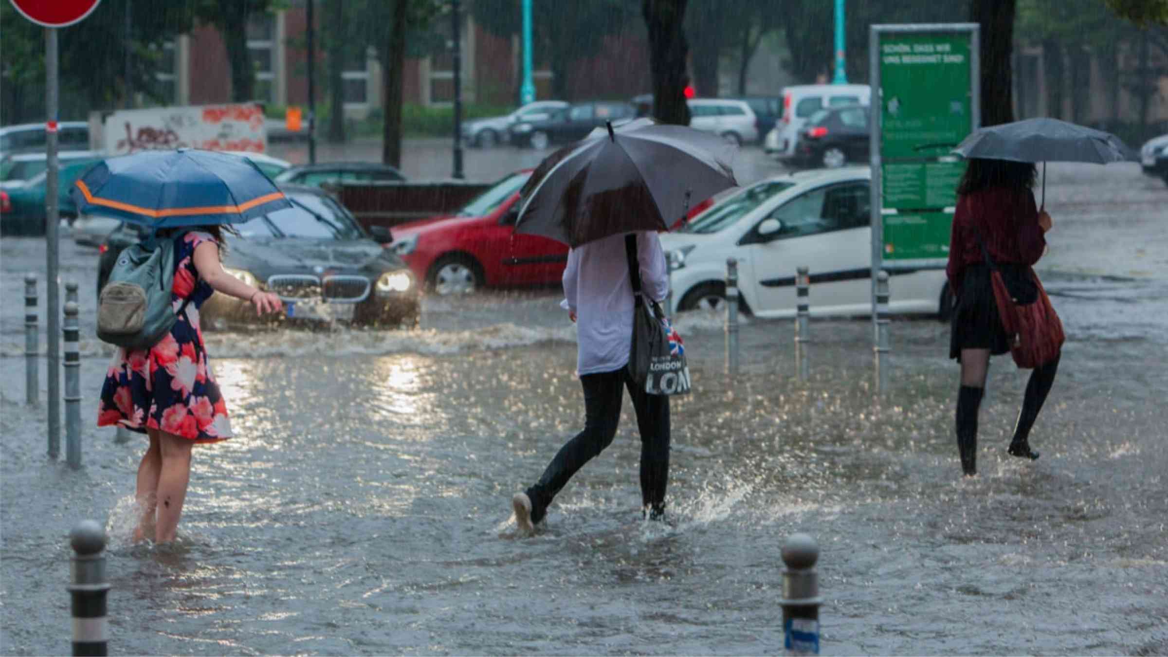
The floods across Europe, China and the US in recent months have again brought to the fore the ability of extreme rainfall to take lives, destroy homes and displace communities.
Evidence suggests climate change is causing increases in extreme precipitation, leading to a greater risk of flooding in urban areas. As a result, agencies around the world are responding to this threat by incorporating climate change into their decision-making.
But often the focus around rainfall – in the data being collected and the projections for the future – is on daily totals. Yet the increasing severity of “sub-daily” rainfall – such as hourly – accumulations can be overlooked.
In this guest post, we look at why sub-daily rainfall is crucial for flood risk, how it is becoming more severe as the climate warms, and the implications for planning our cities.
Extreme sub-daily precipitation
In urban settings, drainage systems can typically cope with rain from a long-duration storm with a relatively low intensity. But a short storm of high intensity can bring rain that falls faster than the system can drain it away, resulting in a flash flood.
Flash flooding is the result of short, intense bursts of rainfall that is followed within minutes or hours by an increase in surface water flow. Due to their rapid onset and difficulty in providing early emergency warning, flash floods can be particularly devastating.
This type of flooding is generally caused by convective storms. These occur when warm air at the Earth’s surface rises quickly on a hot day. This air cools as it ascends and the moisture it contains condenses to form clouds. In the right conditions, huge cumulonimbus clouds can form, which are commonly associated with thunder, lightning, strong winds and sudden changes in temperature.
A warming climate means that the risk of these short-duration rainfall extremes is increasing.
The figure below illustrates the processes that cause the short, intense storms responsible for sub-daily rainfall extremes and how climate change and other human actions are causing these processes – and the resultant flooding – to change.
Detecting changes
Increases in sub-daily rainfall extremes in a warming climate are driven by three principal mechanisms.
The main one is the increased moisture-holding capacity of the atmosphere at higher temperatures. This means that when rainfall does occur there is the potential for more of it.
This increase in the moisture-holding capacity of the atmosphere leads to two secondary mechanisms.
First, if there is more moisture in the atmosphere and the temperature is higher, the cloud base is closer to the ground. This means the chance of precipitation increases.
Second, if more moisture condenses out as precipitation, then the resulting increased buoyancy and updraft further invigorate the storm.
According to the Clausius-Clapeyron (CC) relationship, for each degree of temperature rise the atmosphere can hold an extra 7% of moisture. However, evidence suggests that sub-daily rainfall may actually see bigger increases with warming because of the reasons mentioned above.
For example, the chart below shows the observed change in the magnitude of hourly rainfall across Australia. The dashed line labelled “CC” indicates an expected increase in line with the Clausius-Clapeyron equation – with rarer, more intense rainfall events towards the right-hand side of the chart. Here, the observed change (red line) shows the increasing magnitude of rainfall is two or three times the CC rate.
Thanks to radar rainfall measurement, we have been accustomed to seeing storms evolve in real time. However, the way that physical measurements of rainfall are collected has limited our insights into how climate change is impacting sub-daily precipitation extremes.
Precipitation has traditionally been measured using daily read gauges – a cylinder which fills up with precipitation and is read and emptied manually once a day. Automatic measurement of precipitation is still relatively new – only becoming routine in the past few decades.
To detect changes in intense rainfall from convective storms we need long records of sub-daily rainfall measurements and dense gauging networks. In the UK, precipitation measuring stations are typically 40km apart, but in other parts of the world they are more sparse. This means that our gauges do not always catch the most intense bursts in convective storms, or may even miss them altogether.
Detection of changes in extreme weather events due to global warming is notoriously a difficult task due to the large amount of natural variability or “noise” when studying events that are not observed very frequently. The collation and analysis of new rainfall datasets does indicate recent increases in rainfall intensity over large continental regions across several parts of the world. However, there are large areas for which data is not available and for which we are unable to identify any changes.
Climate models can help fill the gaps in our understanding, but global models – the primary tool for understanding potential futures under climate change – are too coarse to resolve the processes that govern sub-daily precipitation. Instead we rely on fine-resolution models – similar to those used for weather forecasts – with increased temperatures used in these models to simulate the possible effects of global warming.
We, therefore, have three lines of evidence for understanding how sub-daily rainfall extremes are changing:
- Physics: as the Earth warms the atmosphere can store more moisture.
- Historical changes: extreme rainfall has been increasing – and the more extreme the event, the greater the increase.
- Model projections: convection-permitting models, detailed enough to resolve convective rainfall processes, consistently show increases in the intensity of the most extreme precipitation events of 10-14% per degree of warming.
Our three lines of evidence all agree – sub-daily precipitation extremes are intensifying with the higher temperatures that are driven by human-caused climate change.
Planning for a warmer future
Increases in sub-daily rainfall extremes pose a significant challenge to our existing urban areas.
The existing stormwater infrastructure in much of the world was typically designed without these increases in mind. The latest report from the Intergovernmental Panel on Climate Change (IPCC) indicates a likely doubling and tripling in the frequency of 10-year and 50-year heavy precipitation events, respectively – and as a society we need to plan for this.
For example, infrastructure that was previously designed to withstand an event that we experience on average once every 50 years, can now expect to see it three times over that period.
A recent review of flood guidance around the world found there has been significant progress in incorporating the impacts of climate change into the design of cities. Based on the latest science, many guidelines are recommending “factoring up” extreme rainfall intensities in their planning and design decisions.
For example, the UK now has a suite of climate “uplift factors” that can be applied to extreme sub-daily rainfall data to ensure the infrastructure we build today is designed to cope with the changes of tomorrow. The idea is to apply these uplift factors to observed data in order to provide “future” rainfall datasets to run in models of sewer systems and flood defences.
The maps below illustrate the size of these factors for Scotland and northern England for “central” (left) and “high” (right) projections for future rainfall.
While there remain limitations to our understanding of the physics of the current climate system and our ability to observe and simulate it, the scientific community has taken huge strides forward in our knowledge of the impact of warming on sub-daily rainfall.
What is now clear is that there is a substantial – and widening – gap between the severity of climate risks and the action being taken on adaptation. With planning decisions often reactive rather than proactive, it is increasingly crucial the risks of rising extreme sub-daily rainfalls are taken into account when designing and building our future societies.