Latest additions to the knowledge base

The latest additions to the PreventionWeb knowledge base. New content is monitored and added on a daily basis. Filter your search results by year, content type, location, theme and hazard, or explore further sections of the knowledge base.

More filters

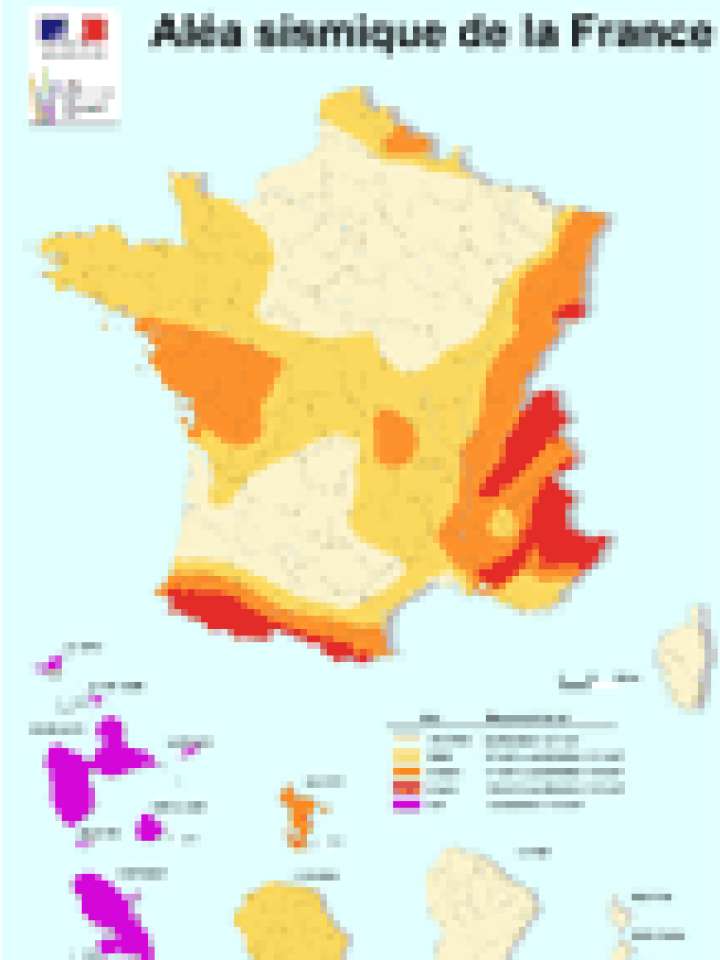
Cette carte montre le risque sismique en France métropolitaine ainsi que les DOM-TOM.

Le décret publié au JO du 24 octobre 2010, redéfinit en effet le zonage sismique du territoire français, en prenant en compte l'amélioration des connaissances en la

Recently released high-quality, up-to-date vector-based maps of Central and South America give insurance and reinsurance companies a precise, reliable cartographic basis that can associate actual and modelled risks with the objects to be insured...
Directions Magazine, Directions Media
NSF has awarded a grant for the development of a tectonic plate-scale integrated geodetic and atmospheric/regional climate observational system to increase understanding and assess seismic and other natural hazards in the Caribbean and Central America...
National Science Foundation

Can't find what you're looking for?

Understanding risk basics

PreventionWeb offers explainers that cover the basic concepts of risk.

Risk reduction how-to

How can you help others reduce disaster risk?

Is this page useful?

Yes No
Report an issue on this page

Thank you. If you have 2 minutes, we would benefit from additional feedback (link opens in a new window).