Latest additions to the knowledge base

The latest additions to the PreventionWeb knowledge base. New content is monitored and added on a daily basis. Filter your search results by year, content type, location, theme and hazard, or explore further sections of the knowledge base.

More filters
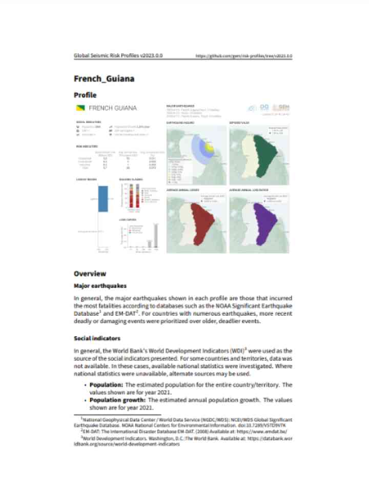
Cover and source: Global Earthquake Model Foundation
This seismic risk profile of French Guiana, produced by the Global Earthquake Model (GEM) Foundation summarizes key metrics of seismic risk, allowing stakeholders in risk management to get an overview of the risk in the country.

This paper argues that there is a need for a new policy framing that Disaster Risk Reduction (DRR) investment is imperative that will generate dividends for governments and society at large. Under the auspice of the Sendai Framework for disaster risk

This profile provides an overview of climate risk issues in the Amazon Basin, including how climate change will potentially impact ecosystems, water, agriculture, health, infrastructure, and tourism.

This study discusses dynamics and drivers of the Zika epidemic in Latin America in order to assess longer-term risks and prioritise interventions. The transmissibility of the infection, the generation time and large-scale connectivity of human populations

by Flickr user Ken_ PA Creative Commons BY-NC 2.0, http://www.flickr.com/photos/kpillay/4688891096/
Efforts to improve drainage have have helped address the problem of flooding in Guyana: 'Even if there is flooding, it would not override the banks. You have to ensure before the crop is put in that these necessary facilities are in place'...
Thomson Reuters Foundation, trust.org
Following the devastating tsunami that struck Japan, 33 countries are preparing to participate on 23 March in the first full-scale simulated tsunami alert exercise in the Caribbean. The goal is to test the Tsunami and other Coastal Hazards Warning System for the Caribbean and Adjacent Regions...
United Nations Educational, Scientific and Cultural Organization - Headquarters

Cette carte représente les communes exposées aux risques feux de forêts

Chaque année, en moyenne 6,000 départs de feu ont lieu et 25,000 hectares de forêt sont incendiés en France métropolitaine. Les trois quarts des communes françaises qui ont subi des

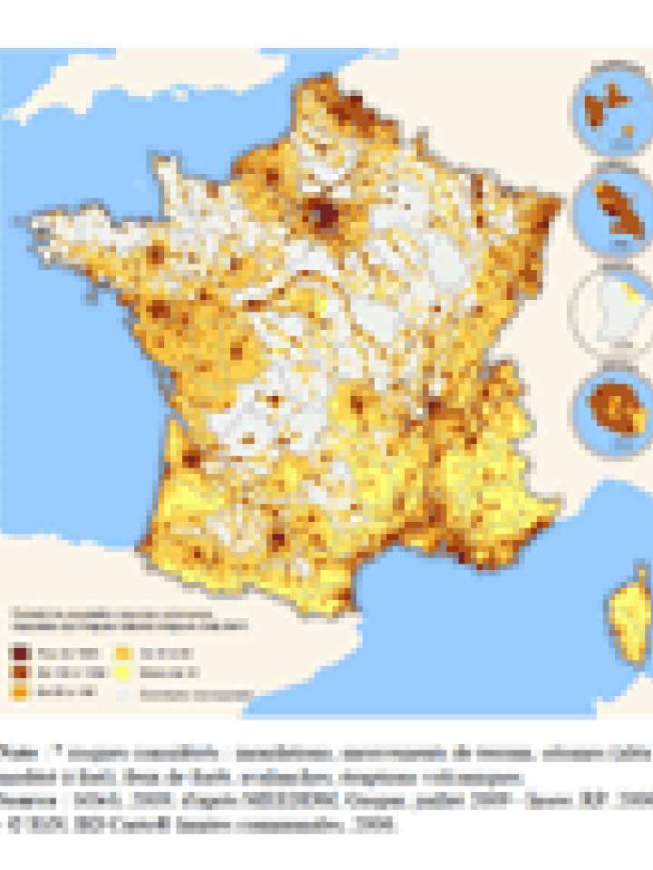
Cette carte représente la densité de population dans les communes exposées aux risques majeurs.

Les risques majeurs font référence à des événements ponctuels de faible probabilité mais dont la réalisation donne lieu à de très graves conséquences


Can't find what you're looking for?

Understanding risk basics

PreventionWeb offers explainers that cover the basic concepts of risk.

Risk reduction how-to

How can you help others reduce disaster risk?

Is this page useful?

Yes No Report an issue on this page

Thank you. If you have 2 minutes, we would benefit from additional feedback (link opens in a new window).